Today I left Grand Lake, heading west towards Steamboat Springs, the last trail town in Colorado.
Yesterday, CareFree arranged for a ride to Granby, the nearest “large” town, with one of the staffers at Shadowcliff. From there, she’ll take the bus to Denver, and then head to Las Vegas to visit some friends, before returning home. It was sad to see her go; it was great to be able to share the trail (or at least, a few days of it) with her.
The rest of the morning was a bit lazy. The post office did not open until 9 am, and my entry permit for Rocky Mountain National Park wasn’t until 11 am, so I wasn’t in a terrible rush to get everything organized and packed.
My ride to the trailhead from the community center fell through, a combination of a personal emergency on their end, and my being slow to get ready to leave. They’d called Shadowcliff to leave a message for me, and I found out when I was in the main lodge building getting ready to check out. While I was on the phone, Carol and Wilson, another couple who had also been staying in the building CareFree and I were in, overheard the conversation, and were offered me a ride. This actually worked out quite well for all of us: I got a ride to the trailhead, and they got to go through Rocky Mountain National Park at 11 am, rather than after 3 pm, once timed entry permits were no longer required.
We stopped at Blue Water Bakery for a late breakfast, and then at the post office so I could mail a resupply box to South Pass City in Wyoming, and then headed out of town into the park. They dropped me off where I started yesterday, the Green Mountain Trailhead.
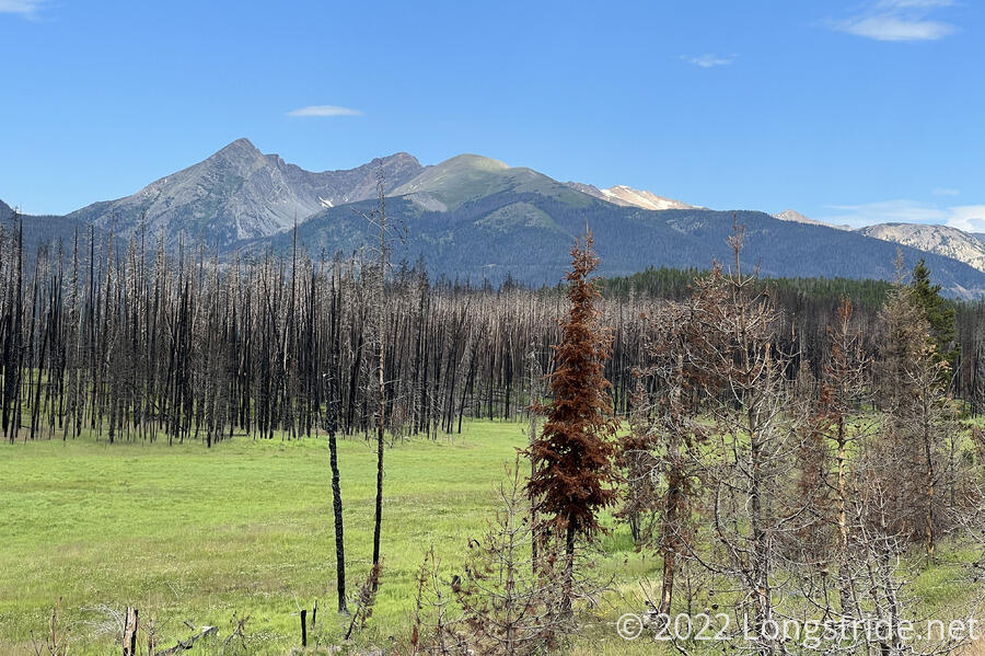
With the late start (after 11 am), it was warm out, though fortunately, there was a fair amount of cloud cover. I started off with a half-mile roadwalk along the highway through the park, with a meadow in front of mountains in the distance.
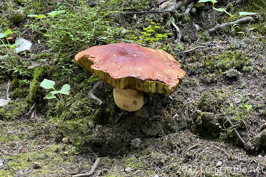
The trail took a short detour from the road, going through a well-shaded forest. Mushrooms did well in the damp conditions, with a few growing to large size.
Turning back to the road, the trail crossed the highway and joined a dirt road, which crossed over a creek on a bridge. Lacking a sign, I didn’t think much of the creek, and it was so unremarkable I didn’t even bother to take a picture. It was only later in the day I realized that this was the Colorado River. Having passed the river (in its form of Lake Granby and Shadow Mountain Lake) just a few days ago, it was a little surprising how quickly I’d forgotten I’d be crossing it just a bit upstream.
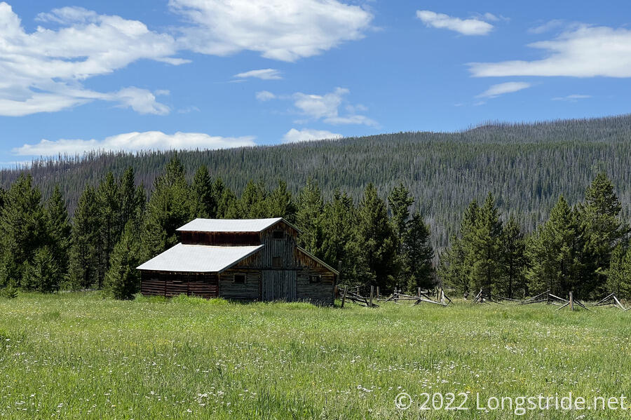
Now heading west, the trail finished crossing the meadow surrounding the Colorado River. An old, derelect barn stood watch over the meadow, which was probably once used as a cow pasture.
Climbing into the mountains, a bit above a creek valley, several annoying, but not difficult, blowdowns wrapped up the RMNP; tree maintenance seemed a bit better once crossing the border into the Arapaho National Forest's Never Summer Wilderness.
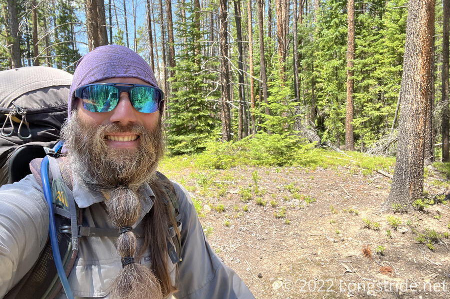
A short distance into the forest. I reached a significant milestone: I was now 1,000 miles into my hike. With still 1,500 miles to go before reaching Canada, and only two months to make it there before mid-September, when the risk of bad weather begins to rise considerably, this milestone felt more like a reminder that I was awfully far “behind schedule”.
I stopped for a break where a small creek crossed the trail. Hot and sweating, I’d been drinking a lot of water today, and took advantage of the creek and shade to collect and filter more. The shade helped, though a swarm of flies also enjoyed the area, making it a somewhat uncomfortable break for me. Briefly, though, a cloud moved over the sun, and it got considerably cooler for five or ten minutes.
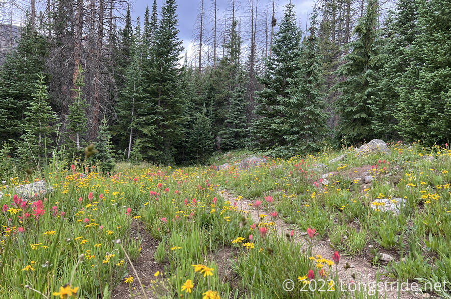
About a mile after the creek, the valley I was hiking up got considerably steeper, and my progress slowed. As I climbed, a few small clearings in the trees allowed for wildflowers to grow alongside the trail.
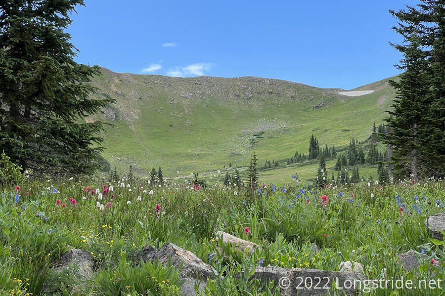
Heading towards Bowen Pass, the clouds grew over the mountain to the side, and sprinkled a few light raindrops. The forest started thinning slightly, and then the trail emerged from the treeline in a grassy meadow.
Now lacking tree cover, the clouds made their move, covering the sky and dropping cold rain on me. I stopped to put my pack cover and rain jacket on, which, of course, caused the rain to reduce to a light drizzle. A little bit of thunder and lightning got me moving more quickly; I was closer to to the top of the pass than the treeline, and didn’t want to be exposed while there was the possibility of lightning.
The rain stopped briefly while I crested the pass, picked up again as I neared the treeline on the north side of the mountain, and then stopped again for a while when I stopped for another quick snack break.
Today was the first day I hiked with the new pair of boots I got in Grand Lake, and I hadn’t yet fully tightened them up, so my feet slipped and jammed against the front of my boots on the steep downhill after the pass. I tightened them on the break, which helped, but I’ll probably wind up having to keep tightening them over the next couple of days before they’re properly laced.
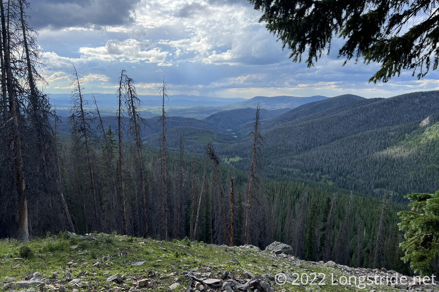
The trail wound around the inside of a bowl, near its top, just below the treeline. Now that the rain had stopped, it started to warm up a little, and it was very humid, with quite a lot of mosquitoes. That, plus the trail being mostly downhill but with numerous short but steep uphill sections made for a tiring and uncomfortable late afternoon. But, I passed a doe and two fawns, so it was nice to see some larger wildlife.
Rain picked up again for a while, and I kept pushing on, passing a few very nice campsites that had no nearby water. The trail joined an incredibly rough (and steep) ATV road, and I lightly sprained my left ankle on loose rocks in the road. After what felt like far too long (but which was actually less than a mile), the trail left the road, following Trout Creek, a small creek in a very narrow valley.
I set up camp just past the confluence of Trout Creek and another small creek, and started cooking dinner about half an hour before sunset. (Though, by then, the sun had long been below the nearby mountains.) With two creeks nearby, I’m expecting it’ll be extremely damp and humid overnight. Not fun, but, it could always be worse.