A long day took me off-trail on an alternate route of my own making, in order to stay well out of the way of a problematic grizzly bear.
It took me a while to get going this morning, partly because my tent was pretty wet after last night, but also because I was dithering on where I should go today. Hiking a “regular” length day would put me somewhere on the Old CDT Alternate, firmly in the area where there is a problem grizzly bear.
However, I found another route using dirt roads that would take me significantly out of the way of the bear. It would involve a lot of dirt and paved roadwalk, but the net result would be about thirteen miles shorter than the official trail, about seven miles shorter than the Old CDT Alternate I was already planning on taking to get to Brooks Lake Lodge, and it would take me past the Lava Mountain Lodge, where I could get food and possibly stay indoors tonight.
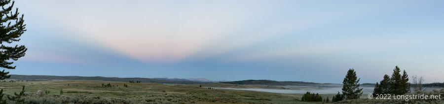
With the morning starting to evaporate, like the fog in the valley, I finally settled on the best possible decision: get going now, and delay actually making a decision until when I reach the junction.
I continued through a forest, winding up briefly off-trail a couple of times because of fallen trees. I accidentally jammed my shin on the stump of a branch poking up from a fallen log; fortunately, my pants took the brunt of the impact so my leg didn’t get scratched up, but it still hurt.
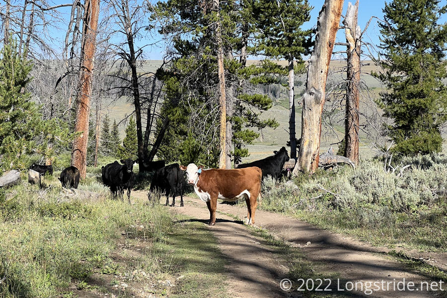
Also in the forest were cows darting between the trees trying to get away from me; this would have been surprising had I not seen cows in the forest yesterday evening.
The trail left the forest, crossing through a gate with a wire latch, like so many gates in New Mexico. The wire was incredibly tight, and I could barely get it latched shut. A strong wind (or a cow looking at it funny) would probably break it open. Briefly following a dirt road, I re-entered forest at a road junction. This area seemed to be almost a swamp; it was humid, with lots of bugs, and highly aggressive mosquitoes.
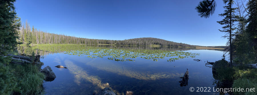
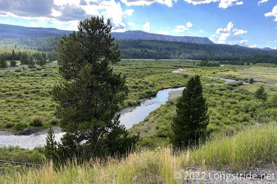
Reaching the Lake of the Woods, the trail roughly followed the lake’s southern and western shores, though some pretty bad blowdowns meant detouring off the trail several times.
At some point, because of the blowdowns, I missed a trail junction, and went through an area that had a ridiculous amount of fallen trees. Fortunately, that dropped me at a dirt road a short distance from where I was supposed to have gone, and getting back on-trail was easy from there.
Like yesterday, the dirt road had cows standing in the way. These cows also seemed to have a bit of a hygiene problem: half of them had poop smeared on their butts and tails.
Shooing the cows away, I continued following the road, missing a trail junction because it was hidden behind a fence. Fortunately, I quickly realized I was going the wrong direction, and cut directly back to a dirt track leading across the meadow to a hill. After snaking across the meadow and up a dry creek valley, the trail joined a dirt road.
The uphill feeling far more difficult than it should have been, I was happy to stop for a break at a junction: the CDT went off in one direction into the woods; the Leeds Creek Alternate (and the beginning of the detour I was pondering this morning) continued uphill on the dirt road. While I sat, pondering which way to go, another hiker arrived. Soccer Mom, who I hadn’t seen since somewhere in Colorado, arrived, hiking down the dirt road. Nominally a northbounder, he flipped north to do a section southbound with several of his friends from his PCT hike.
I decided that my desire for avoiding the grizzly (and also reducing how far I had to hike) outweighed my preference to follow the official trail as much as possible. I continued up the dirt road, temporarily joining the Leeds Creek Alternate and essentially committing myself to a 25 mile day to the Lava Mountain Lodge.
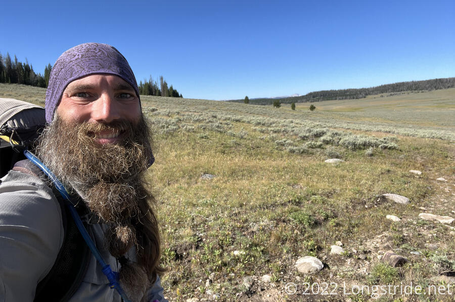
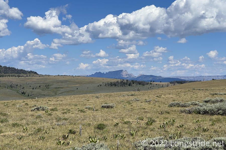
The road took me through a hilly meadow, with mountains visible in all directions. The Winds, of course, were to the south, though they didn’t stand out very much from the hills to their north.
To the west, just barely visible through the haze of distance, were the Tetons, with Grand Teton prominently rising above the rest of the range.
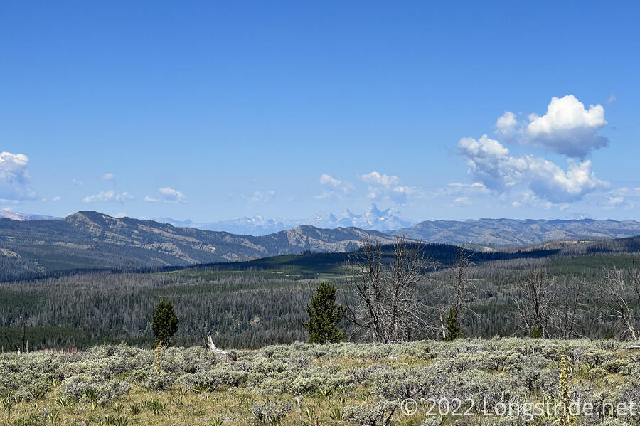
The hilly meadows continued for several miles. Lack of shade aside, it was a surprisingly pleasant section. I passed five or six of Soccer Mom’s friends along the way. To the north, a jagged and stripy mountain rose from the background; it appeared to have a little window cut out of it, like The Window back in Colorado.
After a few miles, I turned off the dirt road, leaving the Leeds Creek Alternate, and joined a trail that cut across the meadow to another dirt track that began going downhill. After re-entering forest, the track briefly became extremely steep and rocky, and it’d take an ATV to navigate the climb.
I stopped for a break after about six miles, near a meadow in the forest, actually managing over a three mile-per-hour pace for once.
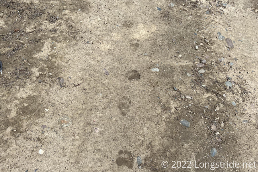
The next mile and a half through forest was fairly nondescript, though I did see some bear tracks on the road. I found this amusing, since the whole point of this alternate was to get away from a bear. At least it was tracks, though, and not an actual bear.
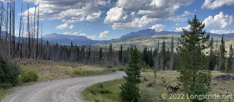
Exiting the forest, I reached a campground and trailhead, already occupied by two trucks. I turned off on a relatively wide dirt road, and followed that for quite some time, following a meadow and then climbing into more forest.
I maintained an excellent pace along the road, which, at some point, changed from dirt to gravel. Only a few trucks passed in the several hours I was on roads. Generally, there trees weren’t too think, and there was a good view to the north or east.
While descending the mountain on the road, I passed a few places that seemed like they’d make for great campsites. A couple of RV campers seemed to agree with that assessment. The last stretch of the gravel road was definitely meant for car camping, and most of the available spots were taken by RVs of varying sizes.
I was surprised when the gravel road ended by crossing over the Wind River: the CDT itself never crosses the river that gives its name to the Wind River Range.
Leaving the gravel road, I joined US 26, heading north. Had I been gone into Dubois, I would have hitched south on this road. The roadwalk north on US 26 was uneventful. Many cars passed, but it was not so busy as to be problematic. Near where I got on the road, I passed the Tie Hack Memorial, dedicated to “tie hacks”, loggers who were able to make railroad ties by quickly felling, limbing, and cutting a tree down to what was needed for the ties. (Gas-powered sawmills put the tie hacks out of business.)
Just before six, I arrived at the Lava Mountain Lodge, which had an open bar and restaurant. I booked myself a room for the evening, and sat down at the bar, chatting with Chester, who had been going northbound, but flipped north and is now going southbound. I got a fair bit of useful advice for north of here. Also at the bar was a group of cyclists on the Great Divide Route.
At some point this afternoon, I passed 1500 miles. With all the alternates (and the huge distance I still have to hike), I’ve not been paying much attention to milestones. But I’ve hiked a lot of miles in the past couple of weeks, so this at least feels like I’m actually making some progress now.
Tomorrow should be a good day: more roadwalk to Brooks Lake Lodge to pick up my new pack (which I’m really looking forward to) and resupply box, and then somewhere beyond that to camp.