A moderate 22 km day took us over Mount Richmond to Tarragal Camp, taking us away from the shore for the whole day.
CareFree and I planned to get up at 6:30. We overslept a bit, and didn’t get up until 45 minutes later, to grey, overcast skies. As we started taking the tent down, a series of occasional, brief, light drizzles fell, dampening the sand a little. We opted to put on our pack covers when we left, just in case, but it turned out to not be necessary; there was no rain after we left camp.
Wearing our brightly-colored pack covers was a magnet for the numerous flies we passed, and an obscene number sat on our packs for much of the morning.
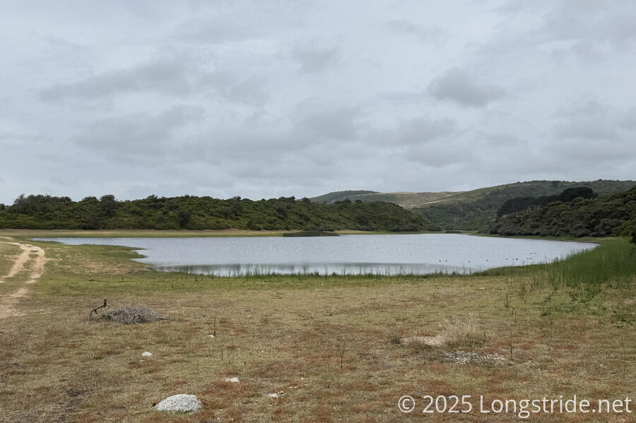
This morning, the sound of ducks had replaced the sound of cows. Shortly after we got started, the source of the sound was evident. Swan Lake, our campsite’s namesake, had a small flock of ducks floating on it. Aside from the ducks, though, it wasn’t terribly interesting. (A trio of older women we saw yesterday who were camping in the car campground visited the lake, and remarked that the lake wasn’t worth the effort to walk there.)
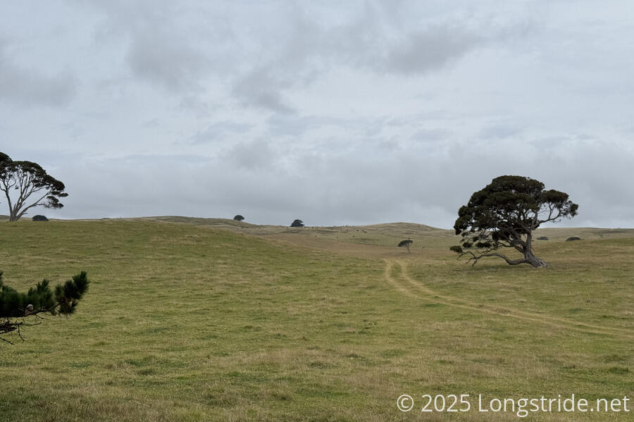
After passing the lake, and farmland, the trail followed along the border of a pine plantation. The interior of the pine forest looked pretty dark and foreboding, but would have made a good, sheltered place for tenting in an emergency. Off in the distance, up the plantation’s parallel access roads, we saw a few kangaroos. We also saw a couple of wallabies, and a small flock of parrots in a tree.
With the main attraction of the day being summiting Mt. Richmond, today had the longest, steepest climb (so far anyway) of the GSWW. This isn’t saying much, since Mt. Richmond is only 224 meters tall and the approach from our campsite was about 14 km. On any other trail we’ve done, today’s elevation change would have been exceptional in that it was so little. Here, though, our legs were complaining because so far we hadn’t asked them to do so much climbing.
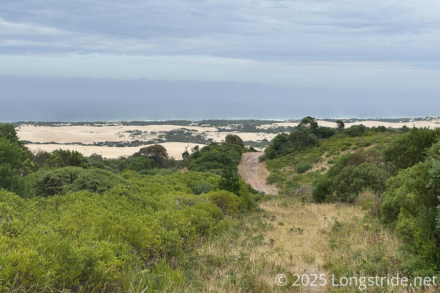
Conveniently for us, on one of the uphills, a sign urged us to “look back”. Doing so, we were able to see Discovery Bay in the distance: the ocean, the dunes, and even some waves. Funnels of haze (either sea spray or sand, I couldn’t tell) rose into the sky. The likely answer came from a signboard at the Mt. Richmond picnic area: the (dormant) volcano is covered in a layer of sand blown in from Discovery Bay.
We stopped for a break about halfway to the summit, having gone through farmland with a couple of stiles and some less-than-ideal trail marking. We made a wrong turn at an intersection because there wasn’t a marker pointing us where we needed to go. (Though it was clear once we’d gone a bit off-track and could see the second stile we needed to go through.)
Entering Mount Richmond National Park, we finally got away from the pine plantation, heading into more eucalyptus-dominated forest.
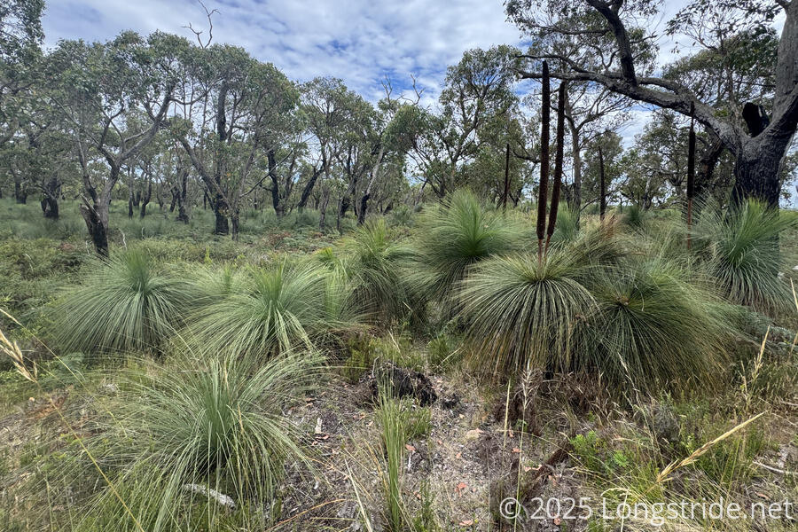
We went through an area of a recent fire. Being a hot and dry environment, the ecosystem has evolved to take advantage of regular fires. Grass-trees (not actually grass, nor trees, but a type of lily) send up tall shoots of flowers (a “kangaroo tail”) after a fire. Their slender, wire-like leaves and bushy base built on dead leaves are quite unmistakable, as is the sharp point on the ends of their leaves if you brush against them wrong.
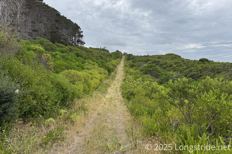
The rest of the walk up to the summit was the steepest part of the day (again, not really saying much). A sign for “Alec’s Walk” pointed off into completely overgrown bush. Later, a sign for the Great South West Walk sat adjacent to a sign for the “West Walk”. Most of the trail was solid, but there were a couple of annoying sandy sections.
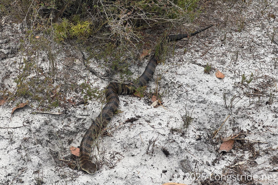
The sandy ground gave the impression there were lots of snakes around, though I only saw one more: a tiger snake on the side of the trail (putting CareFree 0-for-2 in spotting snakes before walking past them today).
The Mount Richmond Summit Picnic Area, with several picnic tables, provided a nice spot for a break, as well as some shade: the sun started to come out, and over the roughly 45 minutes we were there, the sky had nearly completely cleared and the sun was out, bright as ever. At the picnic area, we saw almost half a dozen koalas hidden in the trees.
A short walk up the road from the picnic area brought us to the actual summit, a metal structure nearly completely overgrown with bush marking the mountain’s high point.
From the picnic area, it was mostly downhill. We followed a mix of trails, dirt roads, and trail adjacent to an ATV trail out of the park. Eventually, reaching the boundary of another pine plantation, we followed a trail that bounced up and down the hills, until we reached a short turn-off to Tarragal Camp.
Most of the descent was easy, and the forest helped keep the sun off, but the last couple of kilometers were slower and harder, with loose sandy ground and rolling hills in the bright sun.
Tarragal Camp felt to me like it had a vaguely Appalachian Trail vibe. The short path from the trail brought you to the shelter; from there, a number of crisscrossing paths led to the privy and a number of campsites separated by eucalyptus, grass-trees, and other bush. Ants continued to rule the site. Like at Patersons Camp, some possums made their home behind the shelter’s sign.
In the evening, we saw a few koalas climbing the trees, and just before sunset, CareFree saw a baby clinging to its mother while she climbed a tree.
Tomorrow will be a very short day, about 12.6 km, to The Springs Camp. This will mark the transition to the next stage of the hike, above the cliffs of Cape Bridgewater and Cape Nelson as we round our way along the coast back to Portland.
