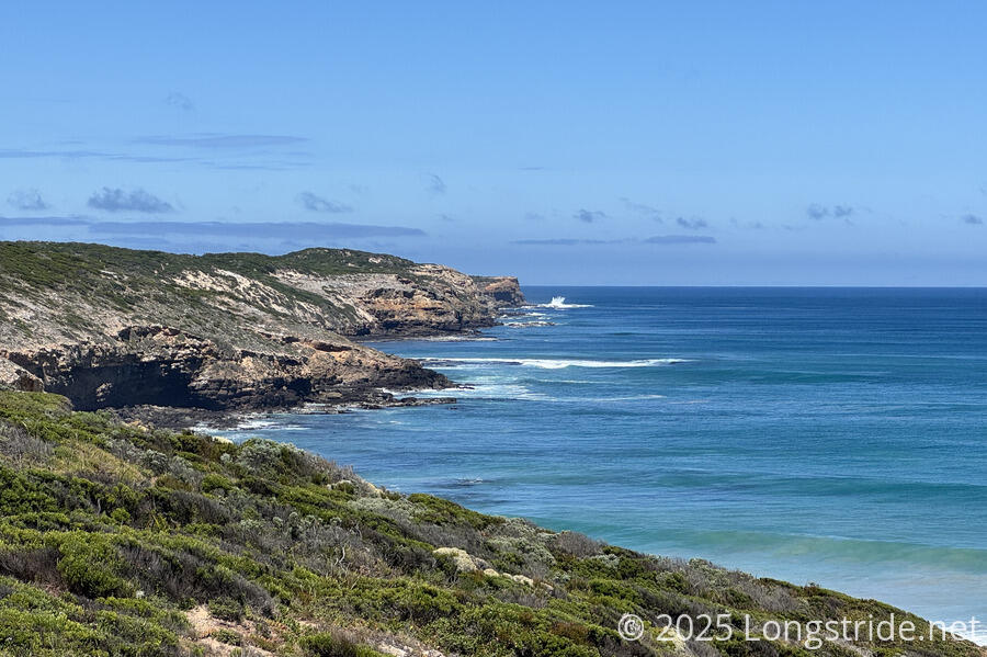
Today, the trail started us along the incredible cliffs of Cape Bridgewater, as we start to wind our way around the coast and back to Portland.
When we left camp this morning — not especially early, since we weren’t in a rush to get to The Springs Camp, only 12.6 km ahead — it was overcast, like yesterday. This made the morning walk fairly nice, though it was still warm and humid.
After a short distance along roads, the trail entered some nice forest. When we emerged, we found ourselves walking through another farm.
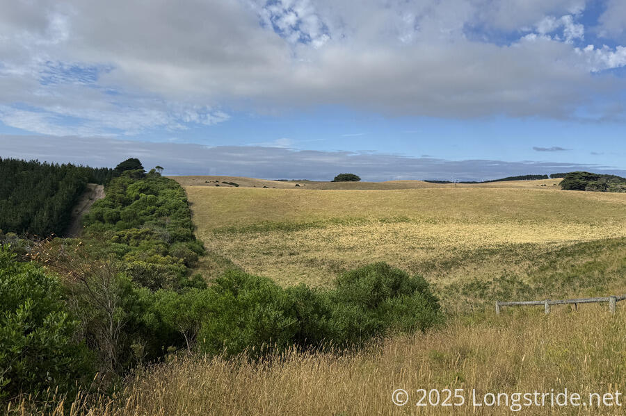
The resulting view showed quite a juxtaposition of varied human influences: a pine plantation; native bush; grazing area; and wind turbines on a ridge.
By the time we were on the farm, fully exposed, the clouds had blown out and the sun was bearing down on us. Fortunately, there was a light breeze to take the edge off.
We only saw one snake today, sitting on the trail, then slithering into the denser bush along the farm’s fence line.
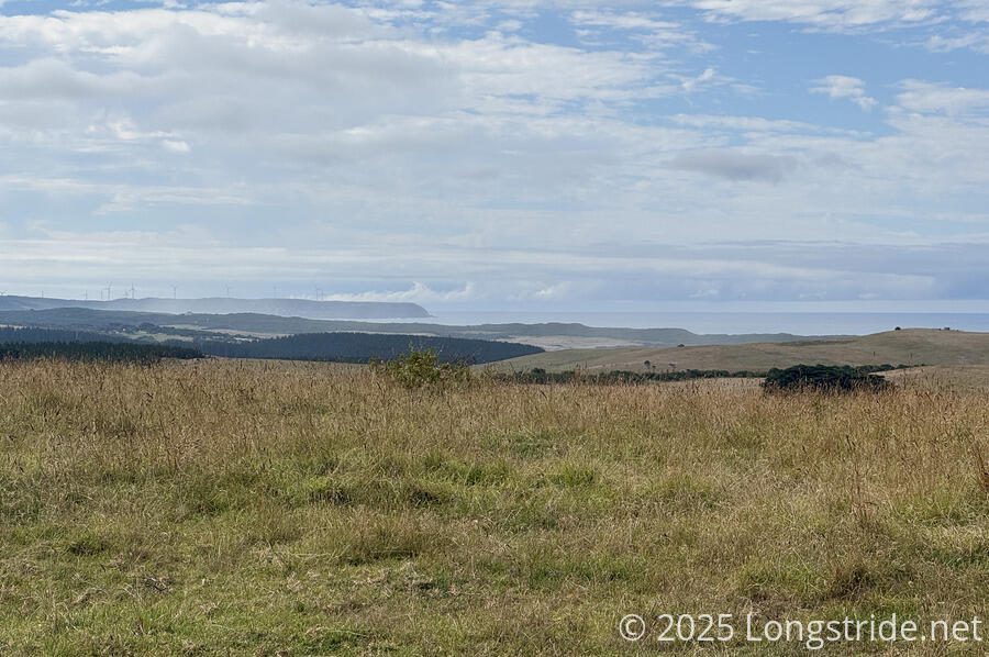
Walking along the fence line, as we got higher up, we were able to see ahead to Cape Nelson, which we’ll walk along in two days time.
This also brought us closer to the ocean, and the wind and sandy breeze blowing in. What few trees there were in the farm were stunted and slanted away from the ocean. In the distance, haze could be seen, both from the spray from the rough ocean, and sand blown up from the beach.
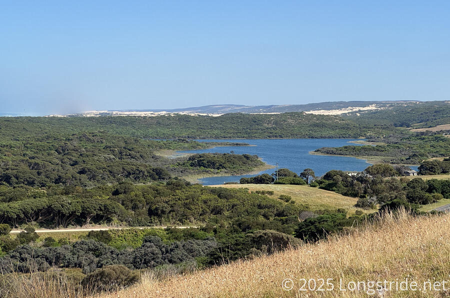
A little further on, some of the Bridgewater Lakes came into view, freshwater oases not far from the rough Southern Sea.
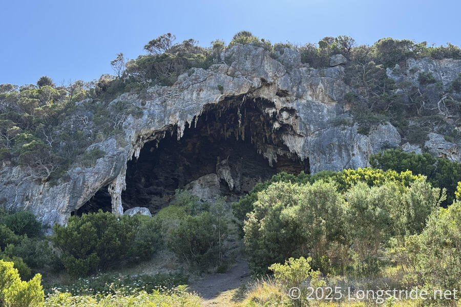
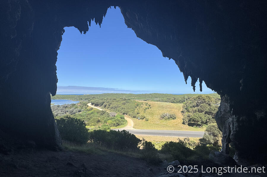
Exiting the farmland, we briefly followed a road. Taking a short detour at the road junction to the Bridgewater Lakes Picnic Area, we dropped out packs and climbed up to the largest of the Tarragal Caves, limestone caves exposed in a cliff face.
As prominent as the caves were we were surprised there wasn’t any sort of sign or information placard about them.
After a few minutes looking around the cave, and admiring the view out, we walked down the hill, got our packs, and followed a dirt road into the picnic area. We sat down at a shaded picnic table for a break.
We were the only people there when we arrived, but it didn’t take long for many other people to show up. First were a group of people with a jet ski and an inflatable mat towed behind that one of them rode on. Shortly after, another (much louder) boat entered the lake. Both boats were going bank and forth from the near shore to (presumably) the other end of the lake, out of sight.
As we were leaving, a few more groups of people with boats showed up; the lake was going to be quite busy (and no longer a scenic peaceful rest spot) very soon.
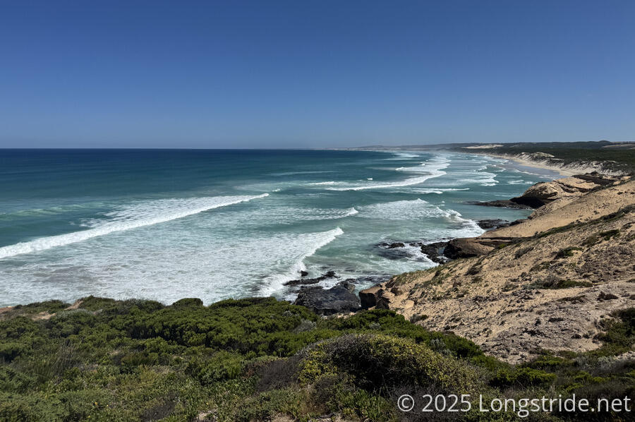
After leaving the picnic area, the trail took us along a sandy dune for a couple of kilometers, before climbing us (via a set of stairs) up to the top of Cape Bridgewater. We could see the rough seas of Discovery Bay in the distance, and the nearby Descartes Bay, but the ocean around Cape Bridgewater was even more dynamic.
Originally a volcanic island that was linked to the mainland by sand blown from dunes that then cemented into place, Bridgewater shows this history. The coast is littered with black volcanic lava from ancient flows. From our vantage points on the trail atop sheer cliffs, we could see the ocean rushing in to crash against these rocks, often sending spray easily ten meters into the air.
This was a beautiful stretch of trail to hike, and it took us much longer than the distance would suggest because we kept stopping to take pictures and admire the power of the ocean.
Along the way we passed a cairn set up for the 25 crew and passengers of The Marie, a German ship out of Antwerp that wrecked there in 1851; there were no survivors. The trail guide says that there have been over 250 shipwrecks in the region, and given how rough the seas are here in good weather, it’s hard to imagine what it would be like in bad weather.
We reached The Springs Camp (apparently named for the springs a title further ahead on the trail) shortly after 1 pm, and had the whole afternoon to relax.
We were glad we’d split up today and tomorrow. Originally, we’d planned on going another 17 km to Trewalla Camp, on the far side of Cape Bridgewater. Had we gone ahead with that, we’d have had to rush through this area, and wouldn’t have had the time to appreciate it.
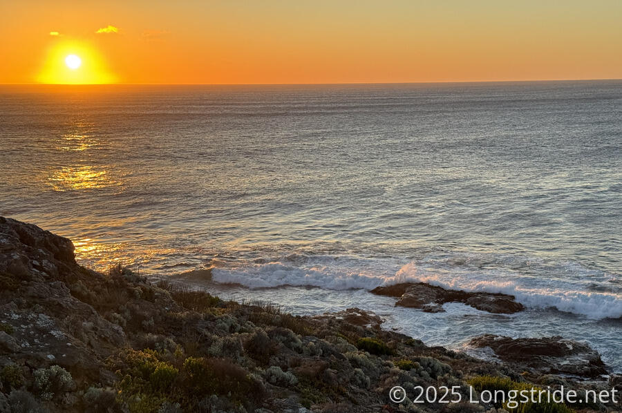
Staying here also let us go back out to the cliffs around sunset. The tide was in a bit from where it had been this afternoon, giving a different dynamic to the waves.
The sky remained clear the rest of the afternoon and into the evening, with winds picking up after 3 pm. Our tent is going to be very flappy tonight!
Tomorrow, we’ll finish circling around Cape Bridgewater, with a bonus: lunch at a cafe along the way!
