Our penultimate day on the GSWW had us dodging wind and rain as we finished hiking around Bridgewater Bay and Cape Nelson.
A bit of rain splashing on our tent woke us up around 5:30. We closed the tent flaps we had open for ventilation and went back to sleep, getting up for real about an hour later.
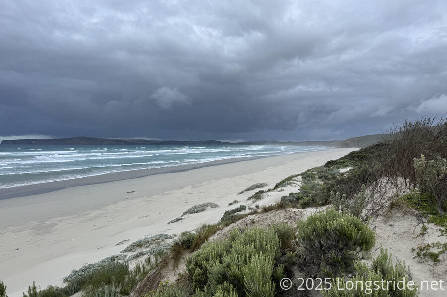
After leaving camp, we quickly returned to the beach, our last beach hike of the GSWW, making our way east along Bridgewater Bay towards Cape Nelson.
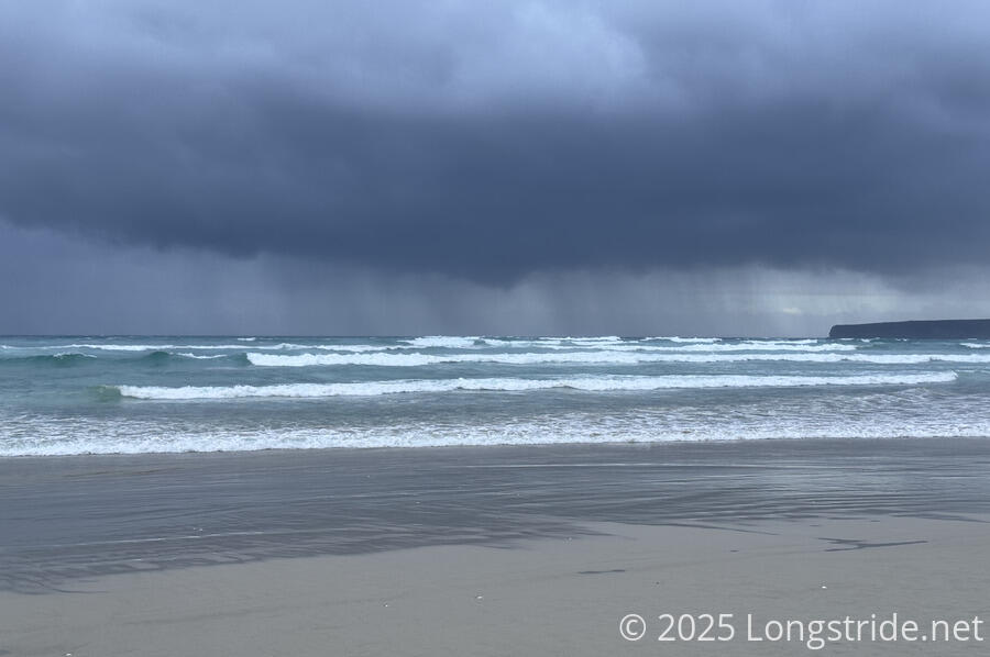
it was windy. Behind us, dark clouds loomed over Cape Bridgewater. We hoped we wouldn’t get rained on, and hiked down the beach as quickly as we could. This was complicated somewhat by the tide being closer to high tide than low tide, and there was a lot less beach available compared to yesterday. What beach there was somewhat more sloped, and the sand a little softer than yesterday. Likely driven by the winds, waves occasionally surged high up onto the beach, more than once forcing us to run inland to avoid getting our feet wet. We got hit by a few raindrops, but the bulk of the rain that fell seemed to be out in the bay. At least the wind was at our backs, subtly pushing us forward rather than slowing us down.
We saw a washed-up jellyfish on the beach, the first (and only) washed-up animal we saw since the dolphin early on Discovery Bay.
We also walked past four shipping containers, washed up on the beach after being washed off a ship in 2013. They’re rusty and falling apart, but would make a good temporary wind, rain, or sun shelter.
Further down the beach, the available space to walk on narrowed, and it became slower, almost a slog, which is not what we wanted with rain chasing us. I was glad we hadn’t started earlier when the tide was higher.
After just over an hour on the beach, we climbed up to the cliffs, along a steep, loose, sandy slope. It was a slow, exhausting climb, easily the most difficult on the trail. The guidebook claims that today is one of the easiest days on the trail, but so far, nothing about the day was easy. Neither as the next stretch.
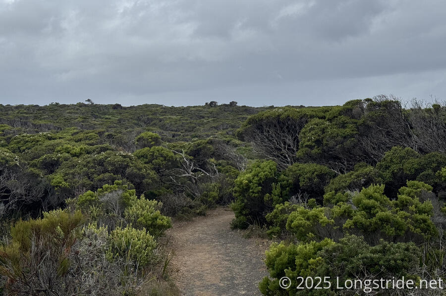
After a half-hour break at a bench at the top of the climb off the beach, the trail took us on a twisty path through a thick (but not very tall) forest of native brush, rolling up and down on sandy ground. This also was tiring, and made a bit more difficult by the humidity that was trapped by the trees.
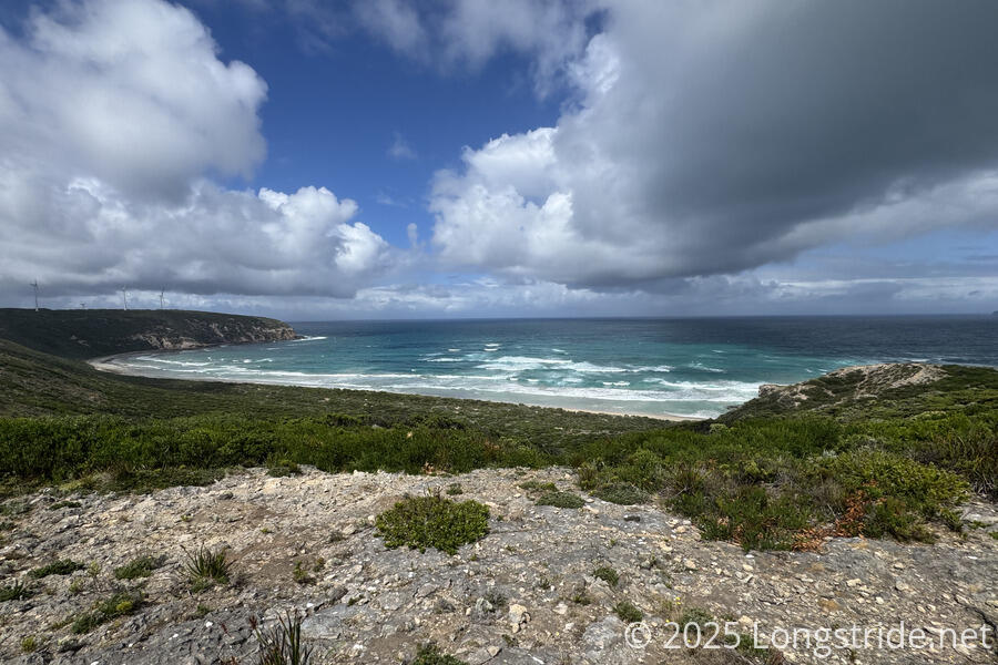
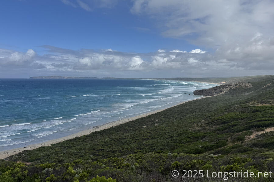
The clouds gradually broke, and there was bright sun and blue sky. For a short while, it seemed like the pattern from prior days — cloudy morning sunny the rest of the day would hold.
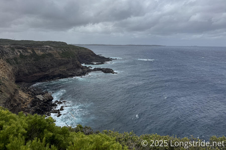
After passing through a soap mallee forest (mallees are types of eucalypts that sprout several stems from a rootstock, rather than a single trunk), the trail emerged into a somewhat barren area as we approached Cape Nelson. The wind picked up to such a degree that, besides making it difficult to walk in a straight line, the flies that had been hounding us in the morning were all blown away. At least the wind was blowing in from the sea, so we weren’t in danger of being blown off the cliffs!
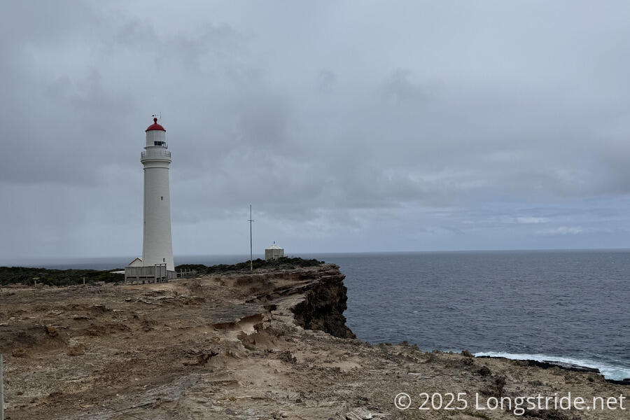
The wind brought in more clouds. The sky darkened, and behind us, rain started to fall again. Between the wind, and approaching rain, we hiked as quickly as possible, making our way to the Cape Nelson Lightstation with all due haste.
Passing the lighthouse we made a beeline for Isabella’s Cafe (named after a ship that crashed at Cape Nelson in 1837) to escape the rain. And also to have some lunch, as you do when the trail takes you past a cafe. No sooner did we sit down than it started pouring outside, though that didn’t last long. I was glad we didn’t start later than we did, or we would have gotten soaked!
Given the (forecasted) high winds, the cafe was operating with fewer staff than usual, but with an unexpectedly high number of visitors (some of which I recognized from the Bridgewater Bay Cafe yesterday), so it took quite a while for our food to get delivered. (It was all good, though.)
After an hour and a half at the cafe, we continued on our way to Mallee Camp, largely through a forest of soap mallee trees. Shortly after leaving the cafe, I passed a personal milestone: 11,000 miles (17,700 km) on long-distance trails.
After popping out to a brief overlook into Nelson Bay to the east, the trail turned back into the forest. A long side trail down an old road brought us to Mallee Camp.
Mallee Camp is unique of GSWW camps. Rather than being spread out a bit in an open area, the shelter, privy, and tent pads, are all built on an old road bed. This design (and specific tent pads, rather than a general tenting area), is supposed to help protect aboriginal artifacts from damage. In the shelter, an extra information placard explained this, and gave three paragraphs of basic information and history of the Gunditjmara people that claimed this land as their territory prior to European colonization. Sadly, this three paragraphs was essentially all the information provided about the indigenous people on the trail so far.
The tent pads had a thick cloth wrapping to keep the dirt in the tent pads in place (and the pads level). This meant we couldn’t stake our tent normally. Instead, we had to use some extra lengths of rope we had from securing our food drop from the Massanutten Trail a month and a half ago to stretch from where our tent would normally secure to the ground out to the loops placed around the edges of the tent pad.
The evening was quiet, as expected, and we didn’t see anyone else after we left the cafe. Thanks to the wind, which hadn’t completely died down, It got a bit chillier than it had been.
Tomorrow is our last day on the GSWW. By this time tomorrow, we’ll be back in Portland, completing our loop.
