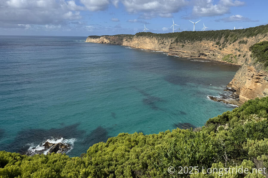
Our last day on the Great South West Walk took us around a great many scenic overlooks of Nelson Bay, through a windfarm, past a gannet colony on Point Danger, and back into Portland to complete our loop.
The morning started off sunny, though before CareFree and I left Mallee Camp, clouds blew in and a couple of raindrops fell. We quickly took down our tent to keep it from getting wet, but that was enough to end the rain, and clear skies quickly returned.
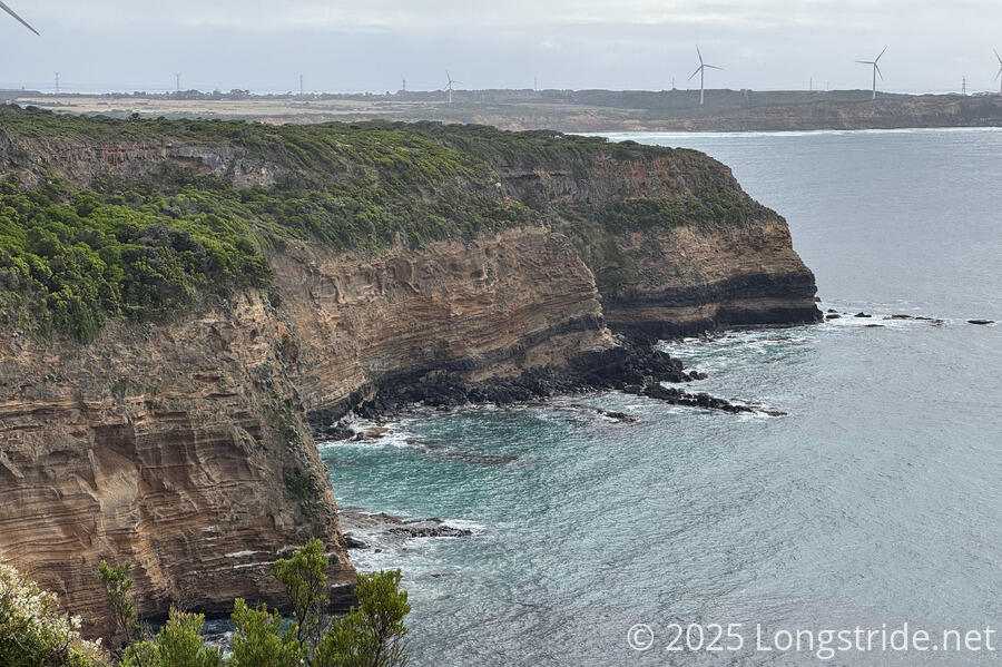
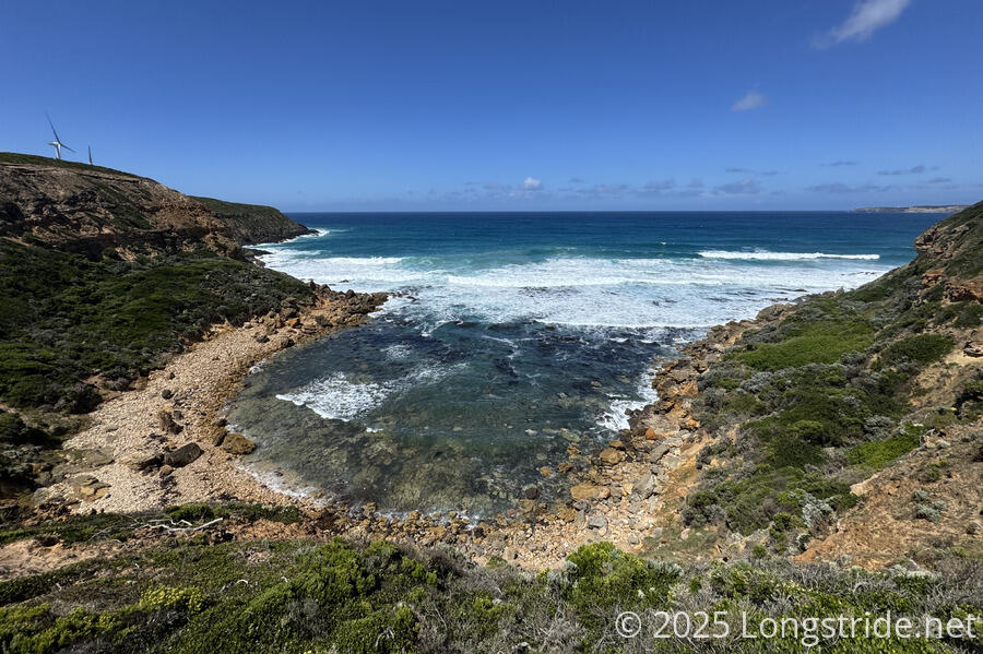
Leaving the camp, we headed back out towards the coast, where we got nice views of Nelson Bay as we circled around the cliffs above the water. The trail was frequently inland a bit, often in short stubby forests that provided some cover from the sun on occasion, but quickly returned to the coast for views of the water.
We saw a couple of wallabies on the trail. Though we didn’t see any echidnas today, there was a lot of holes dug into the side of the trail, evidence of them searching for ants.
The volcanic and sedimentary nature of the land was evident. Many views of the cliffs showed banding within the sedimentary layers, but occasionally between the basalt layers as well.
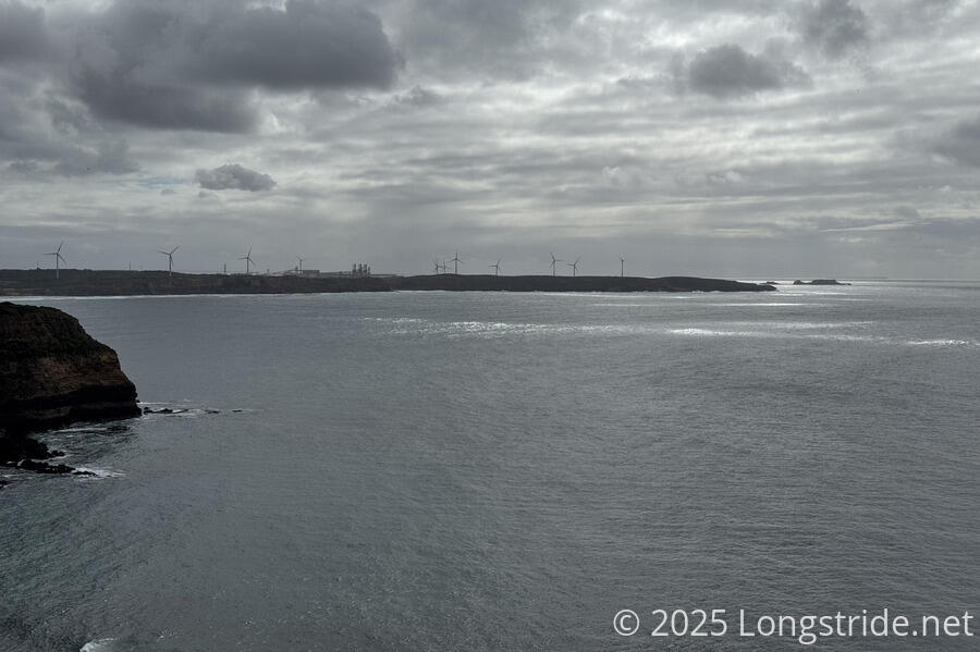
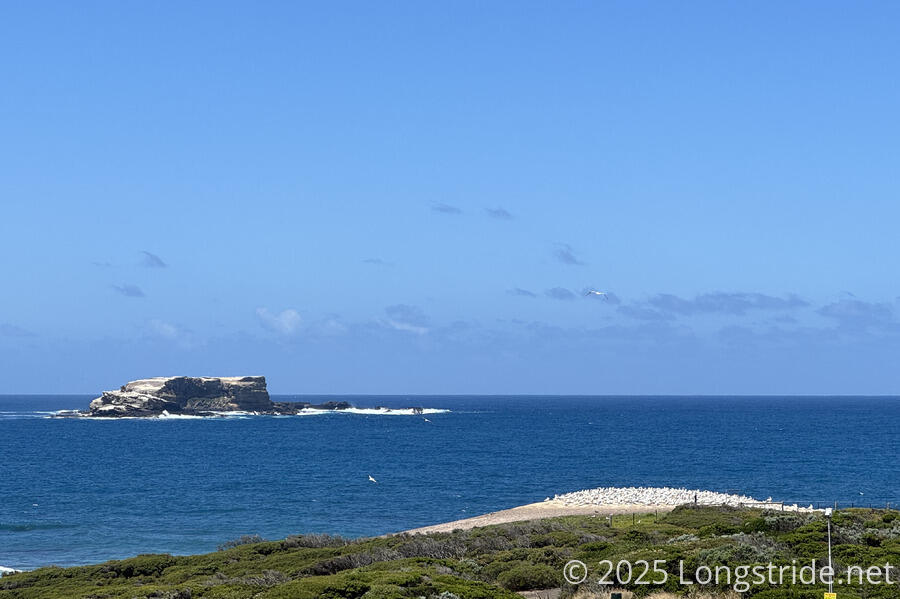
Early on, we also got views of the Lawrence Rocks, a gannet rookery just offshore of Point Danger, near Portland. We were, of course, much too far away to see any birds, but it’s always exciting to be able to see a large distance ahead on a trail.
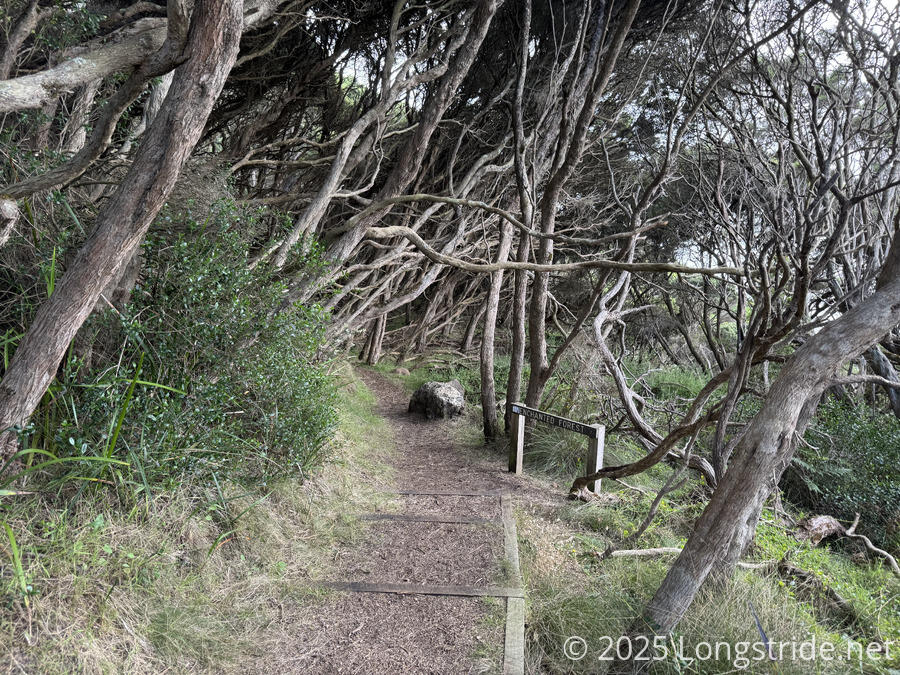
Roughly paralleling a scenic drive, the trail continued along the cliffs for a little over an hour, before descending towards the water and entering the “Enchanted Forest”, a forest of moonah trees. The tree was once quite common along the Victoria coast, but its range here has diminished to isolated pockets after much was harvested to be used as firewood.
I felt it was perhaps a little too bright, and too dry, for the forest to really have an enchanted feel, but it did feel quiet and serene, and was often well-shaded from the sun.
In passing through the forest, we passed half a dozen people on their way into the forest, only the second time (since Cape Bridgewater) we saw other people out on the trail.
After winding along the coast for a bit, we climbed back up onto the cliffs, following them east. Signs of civilization continued to grow as we gradually neared Portland; we crossed several paved and dirt roads, eventually stopping for a break at a road end with something of an overlook.
At the top of the hill after we continued, we found a picnic table with a clear overlook of the ocean, which would have made a better break spot.
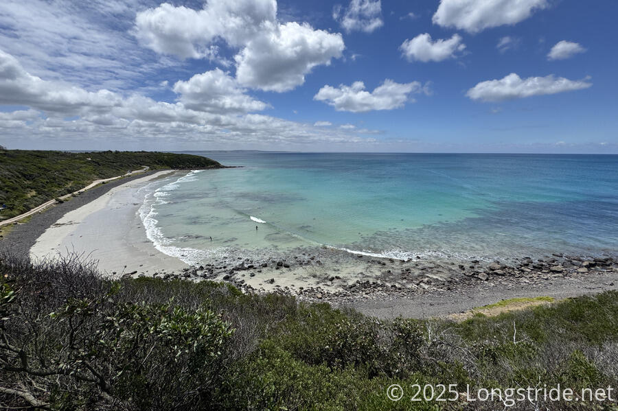
As it continued along the cliffs, the trail passed no shortage of scenic beaches and bays. The first after our break was Crayfish Bay, which had two viewing platforms for scenic overlooks.
After the break, we started walking alongside, and then later, through, the wind farm we’d seen all day. The turbines were large, of course, though they didn’t come close to the size (or count) of the multiple wind farms I passed in Southern California on the Pacific Crest Trail.
The trek actualy through the wind farm was much less scenic, being partially on access roads and also veering inland a bit to cut off the edge of a cape, and then followed what seemed to be an old access road or trail out towards Point Danger.
As we got closer to Point Danger, we were able to see some gannets — large sea birds known for catching fish by plunge-diving into the ocean — flying around the edge of land, and many more as white specks roosting on a small sandy area above the ocean. Waves violently crashed against the Lawrence Rocks, out in the ocean a short distance, occasionally spraying much higher than the rocks themselves.
Diverting from the GSWW briefly, we took a side trail that took us directly to the parking lot for the gannet colony viewing platform.
The viewing platform, raised only a couple of meters on land just beyond the property boundary for a rifle range, offered a meager view of the colony, partially obscured via a small hill. Binoculars would have been helpful, both to see any detail in the birds, and also to see the birds on the Lawrence Rocks as more than specks.
Point Danger is the only mainland gannet colony in Australia; gannets otherwise usually nest or roost on offshore islands. The colony from the Lawrence Rocks first overflowed to Point Danger in 1995, and has been growing there ever since.
We took a break on a bench with a view of the colony, then continued to the northwest, now directly heading to Portland.
After passing alongside the rifle range on a path in the woods, we again returned to cliffs overlooking the coast, with a few more spectacular beaches.
We passed a headless dead snake lying across the trail that appeared stepped-on. I don’t know why someone felt the need to do that, but we didn’t stand around wondering about it very long — the smell (and the flies) were pretty bad.
Eventually, we entered the outskirts of Portland. Passing by an aluminum smelter, we also passed a few emergency exit shafts. Curiously, the shafts were locked on the outside (with a request to call the smelter if they were found unlocked). I’d have thought you’d want the emergency exits locked from the inside.
Entering Portland proper, we passed by a botanical gardens, which looked quite nice, and a flock of 15-20 sulphur-crested cockatoos, one of the largest flocks of those birds we’d seen since being in the Cobboboonee Forest.
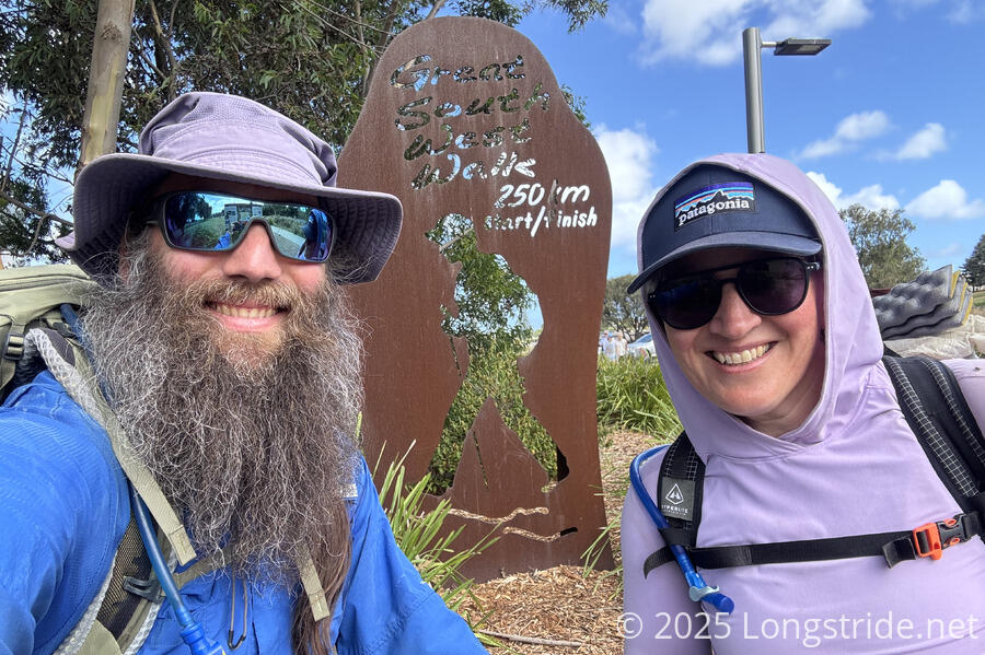
Finally, we reached the Portland Visitors Information Center, completing our loop, and adding yet another long-distance trail to our hiking resumes.
We stepped inside the visitor center to let them know we’d completed the trail — just as one of the staff there was on the phone with someone about us, since we were supposed to be back in Portland yesterday and we neglected to let them know our plans changed. (Oops!) But it was nice to see they were actually diligent about following up on (apparently) missing hikers.
We chatted for a bit about the trail and they answered a couple of questions we had. We learned that many people in the area have a connection with the GSWW — one of the staff we talked tocompleted a 10-day hiking/kayaking/cycling tour of the GSWW as part of their Year 10 (in high school) curriculum. And, the Friends of the GSWW along with volunteers are out doing trail maintenance three days a week, 50 weeks a year! That’s pretty incredible dedication to the trail, and it’s people like that that will keep it alive far into the future.
The GSWW has become one of my favorite trails to have hiked. I’ll write more about that later, but for now, it’s time to take a short breather. In just a couple of days, CareFree and I will start another nearby trail: the Great Ocean Walk.
