Last night was one of the lumpiest tentsites I’ve ever had, and it was not enhanced by the coyotes yipping around 1 am. Nor was it enhanced by the unexpectedly cool temperatures: I found a small amount of ice in my tent, indicating it had dropped below freezing at some point. I did manage to get some sleep, though, and I was awake early enough to have my stuff packed and ready to go to be ready to eat at Paradise Valley Cafe when they opened at 8.
Breakfast, with Hulkspiration, Sierra, Ramen Shaman, and two others whose names I didn’t get (though, one of which had previously also hiked the Appalachian Trail) was a bit slow (the cook was apparently late getting there), but the waitstaff took our drink orders quickly and kept our sodas topped off while we waited. Us three AT veterans talked a bit about the trail, recounting (somewhat in jest) what we had decided on yesterday at lunch as the the sum total of all four views the AT has Virginia (“Grayson Highlands, MacAfee Knob, Tinker Cliffs, Shenandoah”) and comparing our significantly different experiences with AMC huts in the Whites. But, I digress. Back to this trail. Portions at the cafe were huge (I couldn’t finish all of my breakfast burrito, though Hulkspiration apparently had a bottomless stomach and finished it for me.
A local in the restaurant was offering rides into Idyllwild, and Hulkspiration, Sierra, and Ramen Shaman were heading into town to take a zero, and also to skip the San Jacinto fire closure. One other hiker and I instead got a lift back to the trailhead, so we could continue on to the fire closure, and take the alternate route into Idyllwild.
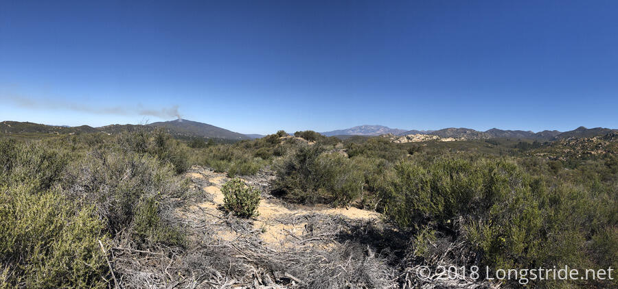
This got me off to an awfully late 9:45 am start, but I made good progress on the morning section of the trail, which was relatively easily graded as the trail began to climb into the San Jacinto range. A fire on a nearby mountain worried me slightly, but according to a trail angel who was replenishing a water cache where the trail crosses CA 74, it was a controlled burn. (And as the day progressed, it was clear that the fire was nowhere near where I would be hiking.)
After about 4.5 miles, around noon, I took a short 20 minute snack break and aired out my feet. From there, the trail got gradually steeper as the day progressed. After another two miles, I stopped to take a detour to a piped spring (0.3 miles and 300 feet down the mountainside). I could see the trail to the spring from a fair distance away, so I knew I wasn’t really looking forward to the drop and climb back up.
Getting water, plus a short break once I got back up to the trail, killed probably another 45 minutes of the day, and I didn’t leave from there until almost 2 pm. The trail became significantly steeper after that, so I was moving a lot slower with an extra four pounds of weight on my back. But, that was the closest spring to the trail (there were other water sources that were a mile off the trail), and by getting water there, it gave me the option to stop anywhere I wanted tonight, and I should be able to replenish water shortly down the fire reroute.
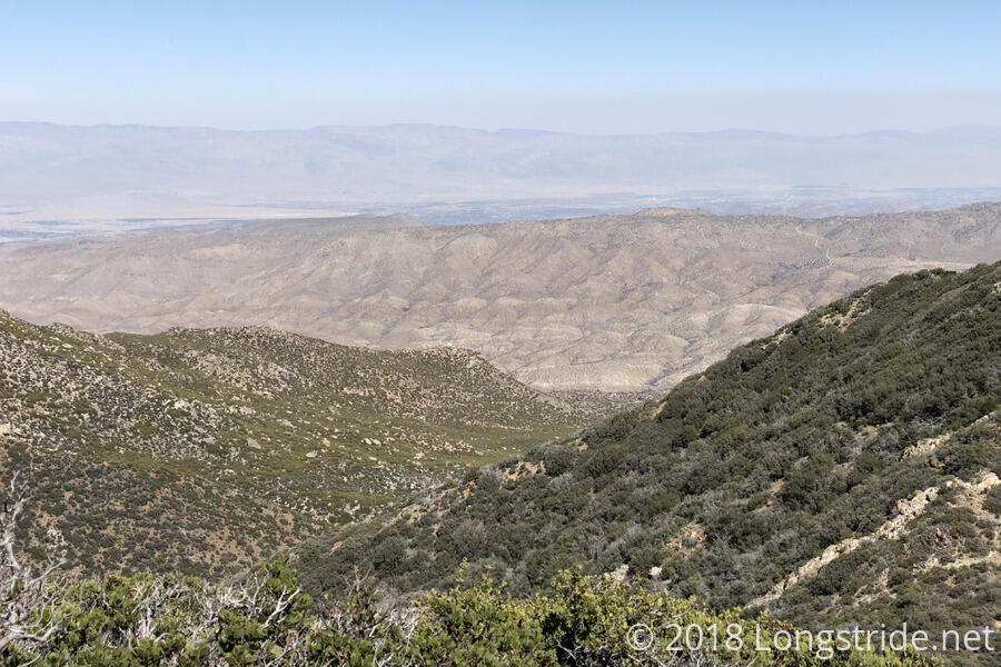
As the trail contained to climb into the San Jacinto range, it opened up views to the east, and I could see the desert on the other side of Jacinto that I’ll be climbing down to and hiking through later this week and next week. As the day progressed, it became clear that the wind was picking up significant amounts of dust from the desert and redistributing them to the mountains to the west; that probably explains why my eyes were so incredibly dry last night.
Not even an hour later, I had made very slow progress up the mountain (only about 1.4 miles) and took a short break at a campsite to rest my feet. Although I had rejected the notion then, I later decided, as I continued to struggle up the mountain, that I should have taken a longer break there to make dinner. Besides the extra energy, that would have noticeably lowered my pack weight, making the rest of the climb easier and faster.
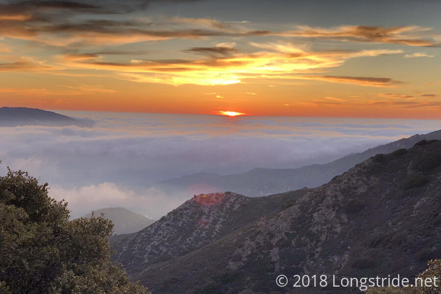
The trail continued climbing into the range, at one point going over a saddle and giving nice views to both the east and west. The dust from the desert contained to be picked up and spread, though to the south of me, so it wouldn’t be causing me any problems today.
Around 4 pm, I stopped at a potentially windy, but somewhat secluded campsite just off the trail (with actual trees!), and made dinner. As I started dinner, I suspected that I was probably not going to move from this spot tonight, a thought confirmed as the temperature dipped noticeably after I finished dinner.
I could probably have made it to the next campsite, a mile up the trail, but after a group of people hiked through while I was eating, I decided that moving from where I was was too risky: if there were too many people ahead of me (and I hadn’t yet seen any of the people from yesterday’s group that had decided to follow the fire alternate), I might run the risk of getting to full campsites and wind up without the energy to go further.
So, I didn’t make as much progress today as I wanted (not quite 10 miles), but assuming I make good distance tomorrow, it should put me in Idyllwild not too late on Wednesday. (There’s about 8 miles of PCT and 14 miles of alternate to town, though the alternate is significantly downhill. I could probably get into town tomorrow night, but that seems like an unnecessary push; if I get in early on Wednesday, that gives me a lot more time to do chores and relax.)
I also didn’t quite make it to 7,000 ft — this campsite is at 6820 ft — but I am just a little bit higher than all of the Appalachian Trail, so that’s still a noteworthy first. I suspect the lack of good sleep last night didn’t help my energy levels this afternoon, but the campsite I’m in now is nice and flat, so provided it doesn’t get too cold or windy, I should have a good night’s sleep. I plan to get to sleep early today, and will try and set a personal record for earliest departure on this trail tomorrow morning.


