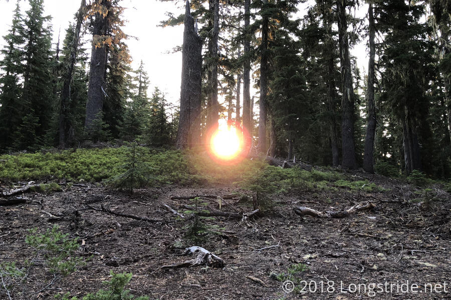
It was warmer this morning than previous mornings, which was great. The tree sap dropping on my tent was less great, and it took a bit to try and wipe it off in a productive manner. The mosquitoes continued to be as awful as they were last night.
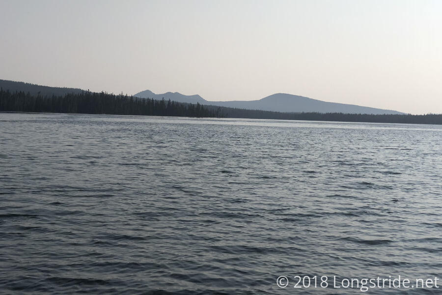
The trail continued the downhill I started last night, eventually following along Summit Lake for about a mile and a half.
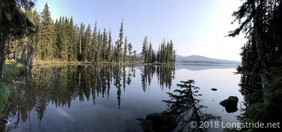
Further along the lake, the view opened up, revealing a mountain on the far side of the lake whose profile looked somewhat like a woman lying down.
After crossing a road at a campground on the lake, the trail entered the Diamond Peak Wilderness of the Willamette National Forest, and tuned uphill. The mosquitoes were bad enough at camp, and near Summit Lake, but especially after entering the Diamond Peak Wilderness, they were unrelentingly vicious. After entering the wilderness, the trail wound along a great many stagnant ponds, which were clearly ideal breeding grounds for the bloodsuckers.
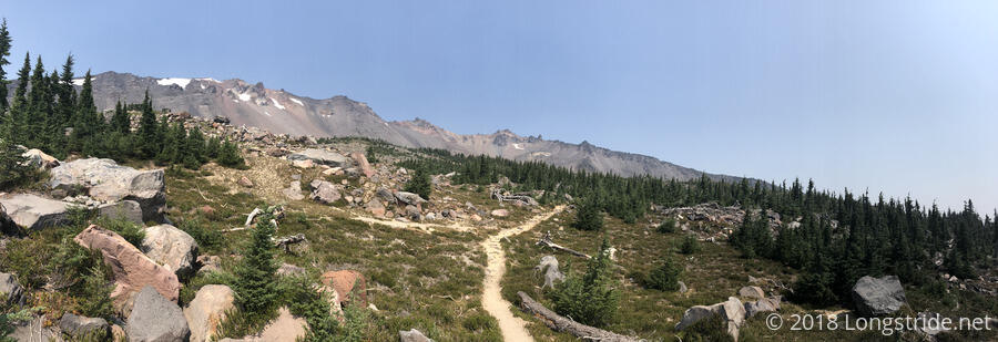
As the trail continued climbing, going further into the Diamond Peak Wilderness, it eventually rose above the treeline and went along the rocky ridge that was a part of Diamond Peak. Along the way, one of those bees that wouldn’t stop buzzing around me tried to fly into my ear.
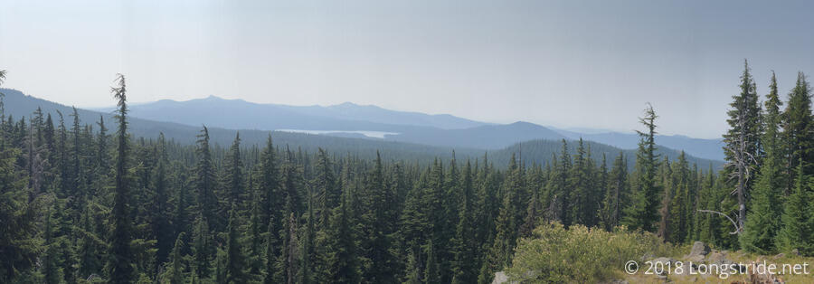
After going around the ridges around Diamond Peak, the trail reentered the forest as it gradually dropped towards Lake Odell and Shelter Cove. I took another break along the way, being somewhat more tired than I was expecting.
Around 4:20, I reached the side trail that departs the PCT for Shelter Cove. The trail meandered downhill through the forest for a bit, then crossed a railroad track and followed a road (with no shoulder to speak of) for three-quarters of a mile before reaching the resort. While I was walking along the road, a train went by on the train tracks, and I hoped there wouldn’t be many in the evening.
I made my way to the main building at Shelter Cove, which has small general store, bait and rental shop, and grill. Situated on Odell Lake, boating and fishing are quite popular at Shelter Cove, but warning signs advise against even touching the water due to high algae content. (If it’s not safe to touch the water, how is it safe to fish in it?)
After paying for a campsite in the PCT hiker area, I got dinner, the “hiker special”, which was a sort of chicken sandwich; it wasn’t bad, but I wished I’d just gotten a burger.
After picking up my food resupply, I now have eight days of food, which is the most I’ve carried since the Sierra. It also called into question my plan to go into Bend for resupply. I’d get there and still have extra food; the most useful thing I could do in town then would be to redirect my bounce box (provided I don’t get there on a weekend), and I should be able to do that via the internet once I figure out where I actually want to send it.
So, rather than Bend, my next town will be Government Camp, about 95 miles further up the trail, and 196 miles from Shelter Cove. This would be my longest stretch without a resupply by far, though it’ll also be supplemented by a visit to the Big Lake Youth Camp, which provides food, showers, laundry, and a place to hang out for hikers.
Shelter Cover also has one of the most expensive showers I’ve seen anywhere: $2 for three minutes! Since I can’t manage to take a shower that’s less than 15 minutes long, I opted to skip getting a shower (or doing laundry, which was reasonably priced).
The sun starting to set, I made my way over to the PCT hikers campsite and set up my tent in the first open spot I found. Not long after I did so, train rumbled by, sounding its horn as it passed. Fortunately, the train tracks were far enough off that it wasn’t excessively loud, but I still hoped there wouldn’t be more trains later in the evening.