With an “early” start, eighteen miles, partially through rain, brought us to Stevens Pass and Skykomish, the penultimate trail town. Now with less than 200 miles to go, the end of the trail is fast approaching.
The rain last night stopped not long after it started, but with it cool and humid, my tent was just as wet as it was last night during the rain. I think I’ll also need to tape up the guyline connector on the other side of my tent, since a little water was seeping in from there as well, but otherwise, with a lack of rain, there wasn’t that much additional water that could leak in.
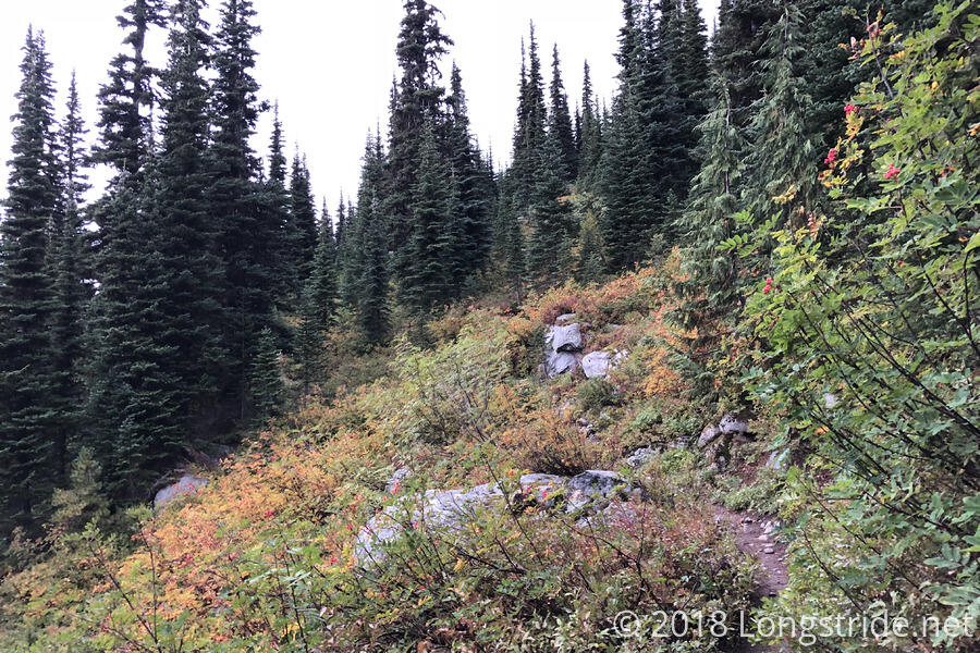
As planned, CareFree got up a little after 5, and were hiking before 7, climbing steeply uphill alongside the valley whose side we climbed yesterday to get to the Deception Lakes. The clouds from yesterday were still present, and much of the foliage near the trail was still wet from yesterday’s rain.
A “300”, written in stones sat beside the trail, marking 300 miles from the Bridge of the Gods. Now, easily more than halfway through Washington, it’s a reminder that Canada isn’t really so far away anymore. (And, if my planned schedule holds, I’ll be there in about a week and a half.) Only a little more than 200 miles remains to the end of the trail.
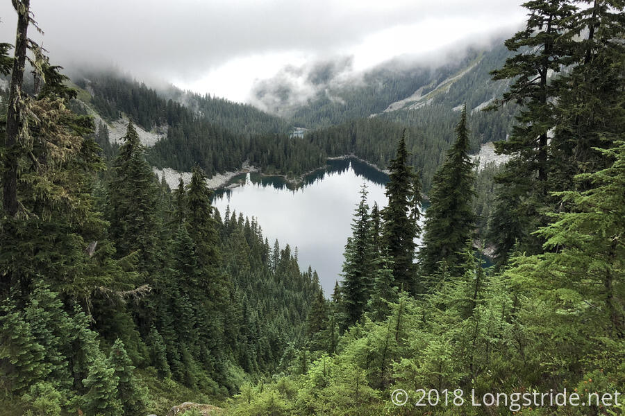
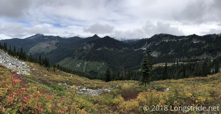
A roughly two mile climb brought us to Piper Pass, and from there, we turned east to begin a trek over to the next ridge, descending from the pass as steeply as we climbed to it. We got a nice view of Glacier Lake, as the trail switchbacked its way down a steep scree field, reentering the woods as it snaked in between the lake and the next mountain.
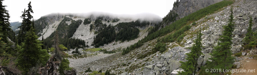
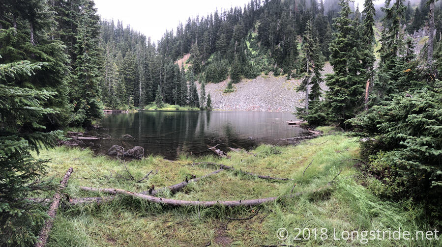
After cutting across some more scree fields, the trail steeply climbed the mountainside on switchbacks, bringing us to a campsite over Trap Lake, where we stopped for a break.
While we were there, a few hikers went past; one of them turned right instead of left, and went off trail. Later, her hiking partner came by and asked if we’d seen her. After we told her we had, she headed down the trail in the correct direction, assuming that her partner would figure out she went off-trail soon enough. (She caught up with and passed us some time after we ended our break.)
When rain started to fall, we quickly cut our break short, and continued on, following the trail as it headed downhill. The rain continued for most of the next two hours, but it eventually stopped, and the sun even tried once or twice to come out, to no avail. While it was raining, I had the thought to put on my rain pants to keep my pants dry, but it’s always a difficult decision: they’re quite warm, so I run the risk of getting too warm and sweating, which defeats the purpose of putting them on in the first place. Also, we had a good pace going, and I didn’t really want to kill the pace just to put rain pants on that I might regret wearing later. Then, eventually, wetness becomes a moot point, with pants, socks, and shoes all wet from rain and can’t get any wetter, so then putting on the rain pants won't help at all.
After the rain stopped, though, we also stopped for a break at a dryish spot on the side of the trail, somewhat in the middle of nowhere, just before the trail began another steep climb.
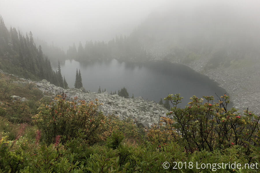
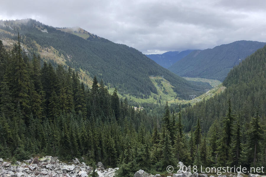
After the steep climb and passing another pair of lakes, we began to approach the ski area near Stevens Pass. Our first sign of civilization since leaving Snoqualmie Pass was a series of high-voltage power lines snaking their way through a clearing down the center of a valley.
As we crossed under the power lines, CareFree cut a short switchback, almost immediately after which the sun managed to come out from behind the clouds. “If I had known that you cutting switchbacks would cause the sun to come out, I’d have told you to do that earlier!”, I said to her, in jest. The sun stayed out for a short while and then resumed hiding from us, as we made our last steep climb of the day, passing under two sets of ski lifts on our way up to the ridge.
On our way down, we began to pass day hikers, who increased in number the closer we got to Stevens Pass. Several of them had baskets which they were using to pick blueberries from alongside the trail.
As we got closer to the ski resort near the pass, we started to hear music coming from the direction of the lodge. I suggested, entirely in jest because of the rain earlier, that it would be funny if there were an outdoor concert going on. It turned out I wasn’t entirely wrong — there was a mountain bike event going on, and while I didn’t actually see a band, they did have music going on.
Around 2:30, we reached the parking lot on the south side of US 2 at Stevens Pass. As we approached the road, we saw a few hikers congregating around the back of a jeep with its trunk open: more trail magic! Courtesy of Forward and Apps, there were cookies, soda, and beer. We asked about the best way to get to Skykomish, and Apps told us that most people going to Skykomish just went across the road and got a hitch into town; he’d seen people get rides in as little as five minutes. But, he also offered that if we weren’t able to get a ride, he could give us a lift to town.
After I sampled each of the different kinds of cookies (which were all very tasty), CareFree and I crossed the road during a lull in traffic, ignoring the “no pedestrians” signs. (The entrance to the pedestrian bridge across the highway was all the way back towards the ski loge, “too far” away.)
With the sun back behind the clouds, it was cold out, but we didn’t think that would be any problem: we’d quickly get a ride to Skykomish and then we’d be warm. After standing on the side of the road with our thumbs out for twenty minutes, watching many, many cars go past us without stopping, and watching a group that showed up after us on the other side of the road quickly get a ride to Leavenworth (a larger town further away in the opposite direction), we crossed the road back to the parking lot. Apps was quite surprised that we were still here (as were we, frankly), and he drove us a half hour into Skykomish, even waiting until we were checked in at the Cascadia Inn before leaving.
A combination hotel and diner, we checked in at the cash register for the diner. After paying and getting our keys, the owner pulled us aside and gave us an orientation lecture on the inn and services available in town. As he was telling us that the front door is locked after hours and one of our keys would unlock it, I noted that one of them had a red plastic border around it. I started to tune him out as I became distracted, noting the similarity to my experience at The Doyle, in Duncannon, PA on the Appalachian Trail. The Doyle, an institution on the AT, also featured a combined hotel and bar, with checkin at the bar, and its owner gave “The Speech” to any AT hiker staying there. The part that most stuck out to me was that The Doyle’s after-hours door was red, with a red key to go with it (“Red Key, Red Door.”), and I wondered if the front door to Cascadia Inn was also red to match the red key I held in my hand. (I checked later; it was.)
Only four days out of Snoqualmie Pass, we opted to skip on doing laundry, since the inn didn’t have guest laundry services. (There is a laundromat down the street, but now that it was getting towards evening, we didn’t want to spend the time a separate laundromat would entail.)
After dropping our things in our room, CareFree and I made a beeline for the shower, located down the hall in a shared bathroom. When I was finished and got back to the room, I discovered that my phone, at around 53%, was not charging. I assumed this was because it spent a few hours getting rained on today, and it was highly distressing since my phone was supposed to be waterproof. Remembering, though, that a similar thing happened on the AT and the main culprit appeared to be that my charging cable coincidentally appeared to die at the same time, I was able to stave off panic for the time being. I suspected that my cable might be on its last legs, having remembered that I accidentally pulled on it too hard last night when it got pinned under me. The real panic of not having a usable phone kicked in after I got a spare cable from the inn’s owner and that didn’t charge my phone either. (After giving it back to him, I immediately regretted not holding on to it until tomorrow, just in case.)
Hoping that the problem was just moisture in the charging port, I shut my phone off to conserve power. I felt kind of naked without a working phone, and I tried to banish all the unproductive doom-and-gloom thoughts of not having a working phone as CareFree and I went to get dinner in the diner. When we were finished and returned to the room (with the food boxes we mailed from Auburn), I was still disappointed that my phone still did not want to charge, and it somewhat put a damper on trying to further plan the next leg of the hike to Stehekin. Still, though, I learned that the gas station at the entrance to town sold charging cables, so if part of my problem was my charging cable, I could still do something about that.