Forest and swamp trails started off the next section of Te Araroa, starting from a trailhead on the western side of Lake Wakatipu and continuing south.
I got up at 6:30, and, to save time (and money), went down to the kitchen/lounge to eat breakfast (cereal, since I wound up with an extra day), rather than going to a restaurant.
After finishing packing, I left a few minutes later than I wanted to get to the pickup spot for the bus to the trailhead. I still got there with plenty of time to spare; they started loading the bus several minutes after I got there.
The bus left at 8, right on time, heading west and north along Lake Wakatipu towards the small town of Glenorchy, where I’d change busses. The road generally followed the eastern side of Lake Wakatipu, though often high up on the side of a cliff. As expected, it was a narrow, curvy road that would have been unsafe to walk, and I was glad I didn’t have to.
From Glenorchy, about eight of us were transferred to a passenger van, which continued north, then east over a pair of rivers that feed into the lake, and then south along the lake’s western shore to Greenstone.
Including the transfer at Glenorchy (and a few minutes for most everyone in the into the trailhead to get hot drinks from a small cafe), it took about an hour and 45 minutes to get from Queenstown to the Greenstone Station Trailhead.
I was a bit surprised to see someone with a gas weed trimmer trimming the grass near the trailhead. It was quite a loud and unusual sound for the trail, but I welcome trail maintenance in all its forms.
It was also noticeably colder out than it was in Queenstown. I hoped I wouldn’t have to put my fleece or pants legs on, but it probably wouldn’t be so bad once I started hiking. It was also a bit humid, but that was hardly surprising given it had rained yesterday.
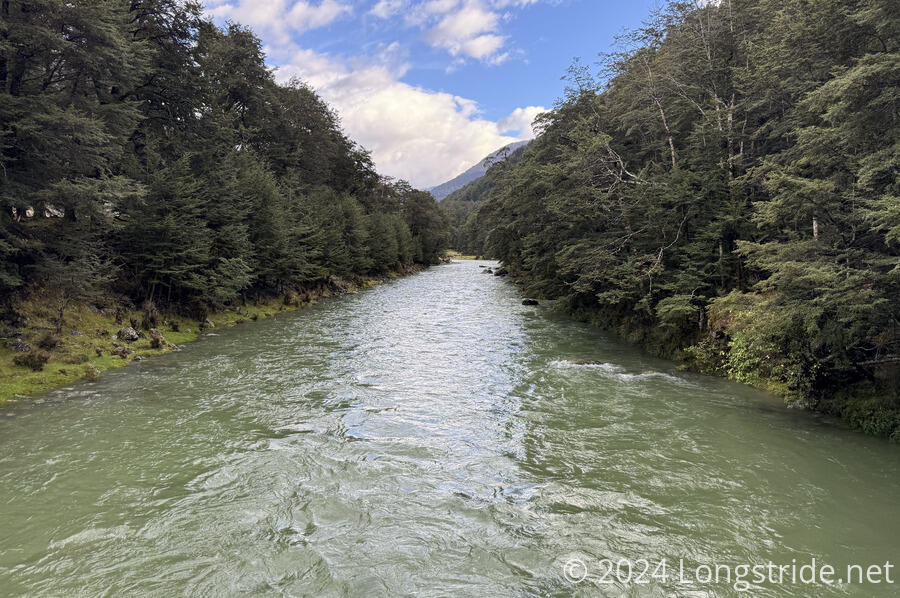
From the trailhead, the trail was exceptionally nice. Initially following the Caples River, and then the Greenstone River upstream through a forest, the trail was a wide dirt-and-leaf trail. With little steepness, it was an enjoyable hike.
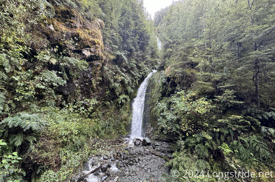
The forest trail was also dotted with waterfalls, adding some nice diversity to the forest trail.
The trail eventually left the forest, going past a cow pasture and winding around Slip Flat to an “emergency” bridge over Slip Stream. It’s unclear to me why the Greenstone Trail the TA was following just crossed the stream rather than using the bridge, but the TA itself was routed over the bridge, which was a reasonably sturdy wooden structure. (I was thinking it would be a three-wire bridge like in the section before Arthurs Pass.)
With the travel being as nice as it was, I was able to keep my feet dry, until I reached an overflowing creek about 15 minutes after the bridge. In the flows, it was obvious where I could rock hop across if it were drier, but that wasn’t an option. Wet feet it was.
Once past that creek, it was about another hour through forest to Greenstone Hut, where I took my first break.
The hut itself was nice, with two bunk rooms and a common room. Adjacent to it was a second staff-only hut, that appeared to have solar panels and a gas tank for heating or cooking. While I’ve seen some huts have a private room for caretakers, I’d not yet seen a full-on caretakers hut.
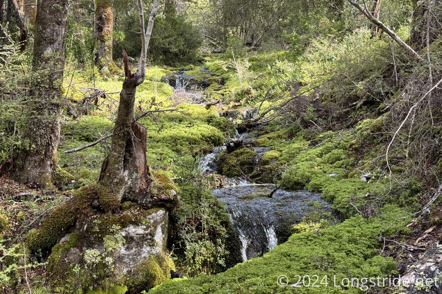
From Greenstone Hut, the trail joined the Mavora Walkway, and continued through the forest, though with a rugged, rooty trail that reminded me of northeastern portions of the Appalachian Trail. It was occasionally damp, and I was a bit slow in places to avoid getting my feet more wet in puddles. Of course, there was a swollen creek that needed crossing, and my starting-to-dry-out feet got wet once again.
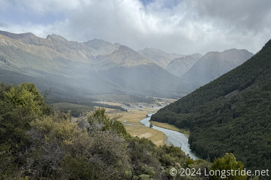
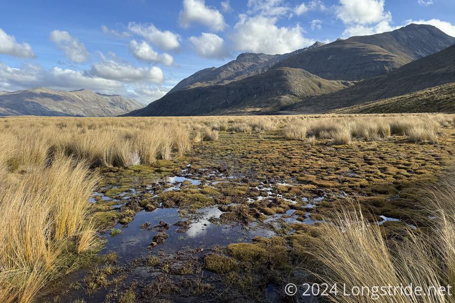
The rather nice forest walk turned into a frustrating wetlands walk. On the way out of the forest, the trail gradually got wetter, until the forest ended and I was walking through a bog. The trail became rather poorly signed at this point, and was often difficult to follow, especially once it crossed through the bog. The marker poles indicated a route different from what was on my map, and it was often hard to see the poles, since they were rarely much taller than the tussock they were hiding behind.
I arrived at Taipo Hut shortly after six. This hut was a bit unique in that it had four bunks, but the mattresses were queen-sized! It also had a pair of water tanks and a faucet inside, but the tanks weren’t working, so I had to go down to the (very) nearby Mararoa River for water.
There were four of us at the hut, and apparently seven more heading to Boundary Hut, the next hut a few hours ahead.
As the sun set, it started to get fairly cold, but it wasn’t raining yet. The weather forecast called for quite a bit of rain tonight, though, so it’ll probably start soon.