A road walk (with quite some variety) took us from National Park to Coupers Crossing, the home of a trail angel who provides camping space for hikers.
We left National Park Village to nice weather, getting one last view of Ruapehu before we followed a dirt road into the mountains west of the town.
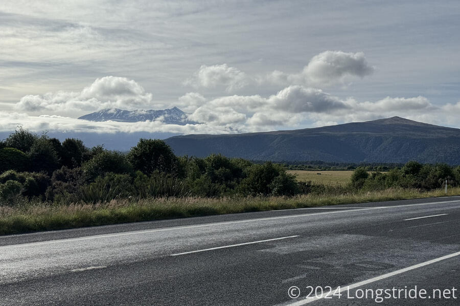
We’d actually walked along this part of the TA back in February, when we stopped in National Park on our way back to Auckland from Wellington. The weather then was fairly miserable — the remnants of a tropical storm were blowing through — so instead of our initial plan to hike up to the Tama Lakes (which we finally got to do two days ago), we followed the TA up to a trail through the forest to a viewpoint.
Today, though, we stayed on the TA, and the road took us west through the mountains.
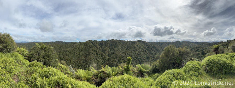
The road, now going through private property, split off onto a mostly grassy cycle track (signed as “public road”). We’d initially been concerned about the difficulty of this part of the trail, since the TA trail notes described it in part as “rough tramping track”. But a few cyclists passed by when we took a break just before the grassy trail started, and we figured that if the track was well-known enough for half a dozen cyclists to pass, it probably wasn’t that difficult. And it turned out to be a very nice section of trail.
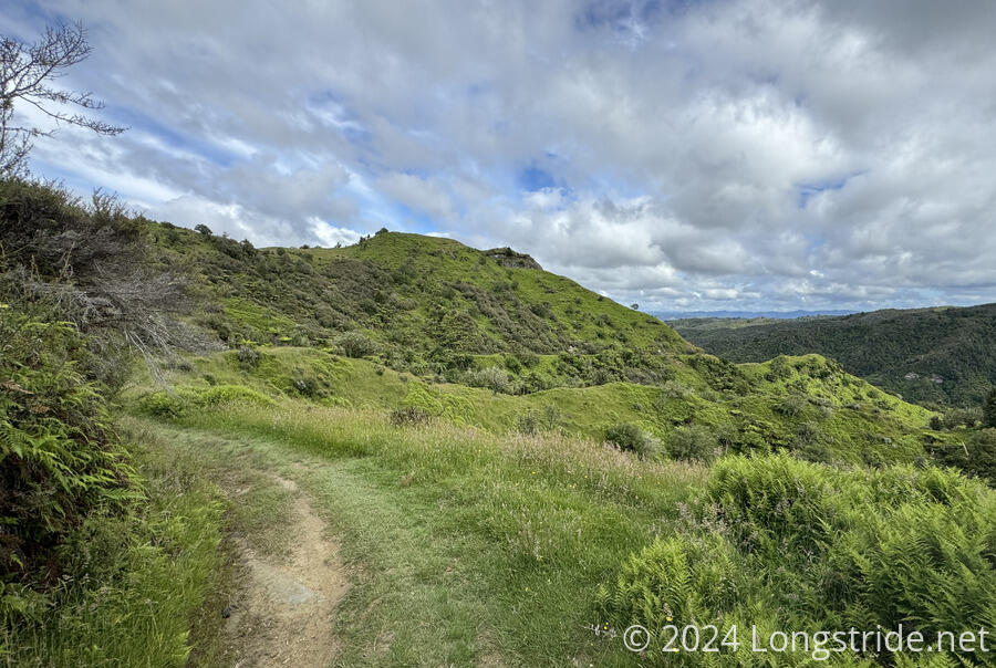
The trail eventually took us out of the forest, becoming a gravel road, and passed by more farms.
One of those seemed to be a puppy farm; as we walked past, eight or ten very happy looking black-and-white dogs ran back-and-forth up to and along the fence, seemingly very happy to see us.
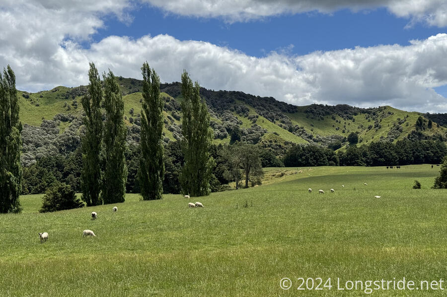
The road, with very little traffic (we maybe saw a dozen cars all day), continued to wind through the countryside, now paralleling a river. We passed more farms.
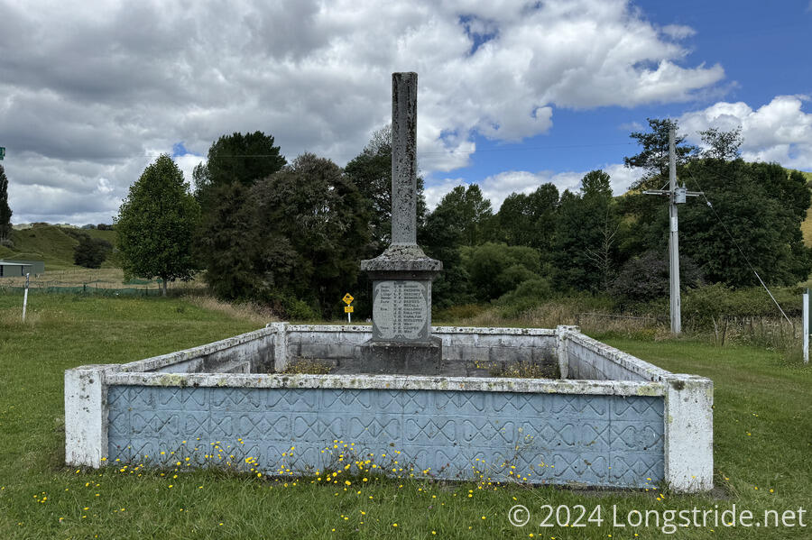
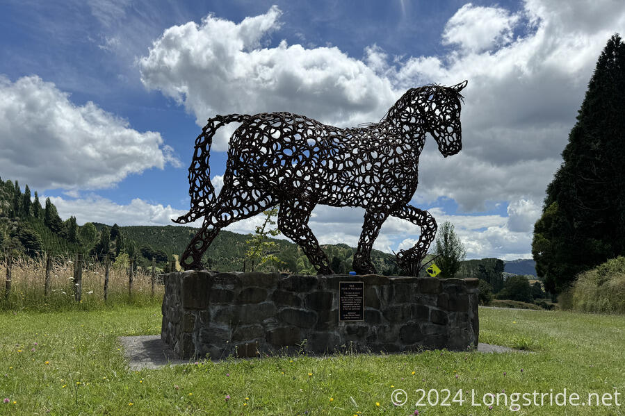
Eventually, we reached the Kaitieke War Memorial, dedicated in 1923 to people from the area who fought and died in World War I. It was later amended with WW II casualties. In 2015, a horse sculpture made out of horseshoes was installed next to the monument, to commemorate the horse history of the area and acknowledge the contributions of the horse to war and agriculture.
Kaitieke itself used to be a logging community, until the forests were all logged, and the population significantly decreased, following a Spanish flu outbreak, WW I, the Great Depression, and WW II. The memorials were placed on the site of the former business center of town, which is now just a clearing.
Just behind the war memorial was Coupers Crossing, the home of trail angels Roger and Sharon Couper, who have opened their property for TA hikers to camp at for the past couple of years for a nominal fee. (It’s a good thing, too: there’s been no real place for anyone to camp today, and since tomorrow is also a long road walk, there won’t likely be anywhere good to camp tomorrow either until we reach Whakahoro.)
We were among the first to arrive, just slightly behind Bryce and Hannah, and also the Coupers, who weren’t at home when we arrived. (Their daughter and grandson were, though, and we may have accidentally woken them from a nap after knocking on the door to check-in as requested, and then sitting down next to the house to talk while we waited for someone to show up.)
We got let into the garage while we waited for the Coupers to arrive; several beds were available (for those willing to pay more), as well as a table and a bunch of chairs, water, a small selection of drinks and snacks (that could be paid for), and a shower with towels provided. Later, Sharon and Roger returned from town (an hour away), and we helped them carry in the groceries. (Then we paid and set up our tent.)
Over the rest of the afternoon, a lot more hikers filtered in. Thanks to everyone getting bunched up for the canoe trip in two days, by evening, there were 25 hikers here, a record for this year.
One of those hikers was Maggie, whom we last saw in Taumarunui. She’d completed the river journey already, describing it as just “floating down the river”, and was currently hiking the section between Whakahoro and National Park (northbound) to fill in the gap created by skipping ahead early to do the river. She’d hiked the Tongariro Alpine Crossing two days ago. The helicopter we saw was indeed for a SAR operation; a woman had broken her leg, and they’d used Maggie’s PLB (personal locator beacon) to call for help.
With Peter and Susana, and also Hannah, we started to look into logistics for the end of the North Island and the start of the South Island. There is a lot of planning we need to do, and it quickly became somewhat frustrating, effectively having to start planning for trail that’s still a month away.
One of the perks of staying here is we get served (a simple) breakfast tomorrow, at 8 am, timed to attempt to keep us off the road until after the canoe transport drivers finish racing through in the morning.