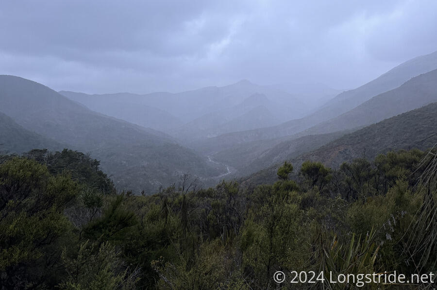
In an exercise in tedium, the trail slogged its way from Mid Wairoa Hut to Hunters Hut.
I’d set a 6:30 alarm, but was awake just before 6 anyway. When Dash and Cam started to get up, I decided to get up and get started early as well. Dash had reasoned that the wasps that are reported to be in this section of the trail between Mid and Top Wairoa Huts wouldn’t be active while it was cool or dark. So starting early would help with that.
I didn’t encounter any wasps today, but I was still glad I started when I did, shortly after 7 am. The trail today was a massive exercise in slow-moving tedium.
Leaving the hut, the trail followed the Left Fork Wairoa River upstream, usually somewhat uphill of the river. The trail was fairly rocky and rooty, often with narrow tread, as the trail cut along a steep slope and was prone to erosion. It was bad enough that a metal rope was installed in one place to assist going around a large boulder adjacent to the trail. Why only that one place? Who knows? I’m not even sure it was the hardest boulder that required navigating today. But after a general lack of affordances, it was noteworthy that there was even this one concession to safety and ease of movement.
With the trail as annoying as it was, I wondered why the trail didn’t take inspiration from the Puketī Forest and just go straight up the river. Surely, I thought, that would be easier than what the trail was doing.
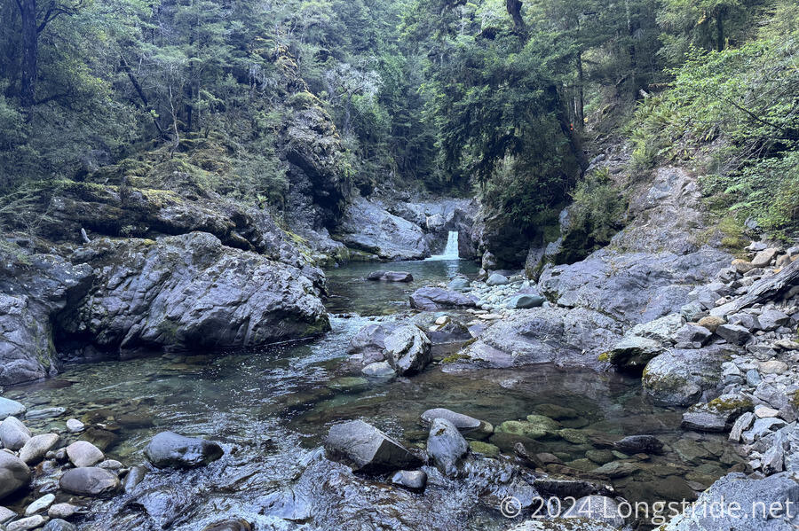
It didn’t take long to realize why. Setting aside the flow rate of the river (which was obviously too high to ask people to walk through it, and that’s after it hasn’t rained recently), the “oh, that’s why” moment came when I saw the first waterfall on the river. It wasn’t the only one, either. I easily passed over a dozen waterfalls of varying sizes, and that’s before you consider the bouldery nature of the upper part of the river.
The trail may not have gone up the river, but it did cross it eight times. None of the crossings were dry; the river was just too big for that. At least the really difficult part of the morning was at the start, when I was still fresh and didn’t have wet feet.
The whole climb up from Mid Wairoa to Top Wairoa Hut was long and tiring. I briefly got off-trail, going down an insufficiently-scuttled old trail, missing the reroute around a fallen tree because the marker was three meters up in the air. I again required assistance (this time from Michael and Emma) to navigate around a boulder requiring scrambling, though if they hadn’t been only a couple of minutes behind me, I probably would’ve gotten this one done myself.
After climbing above the forest and making its last crossing of the river, the trail climbed up a heavily eroded steep stretch of dirt and scree to reach Top Wairoa Hut. I (and Emma, Michael, and Jeff) stopped for a much-needed break. Dash and Cam were already gone, and Highlander was just leaving. (I should have stopped for a break somewhere halfway.)
It was warm out, or at least, the sun was quite intense, so my wet shoes and socks did a good job of drying out.
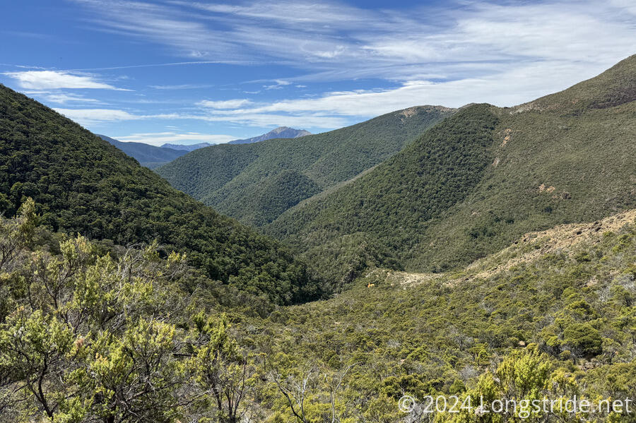
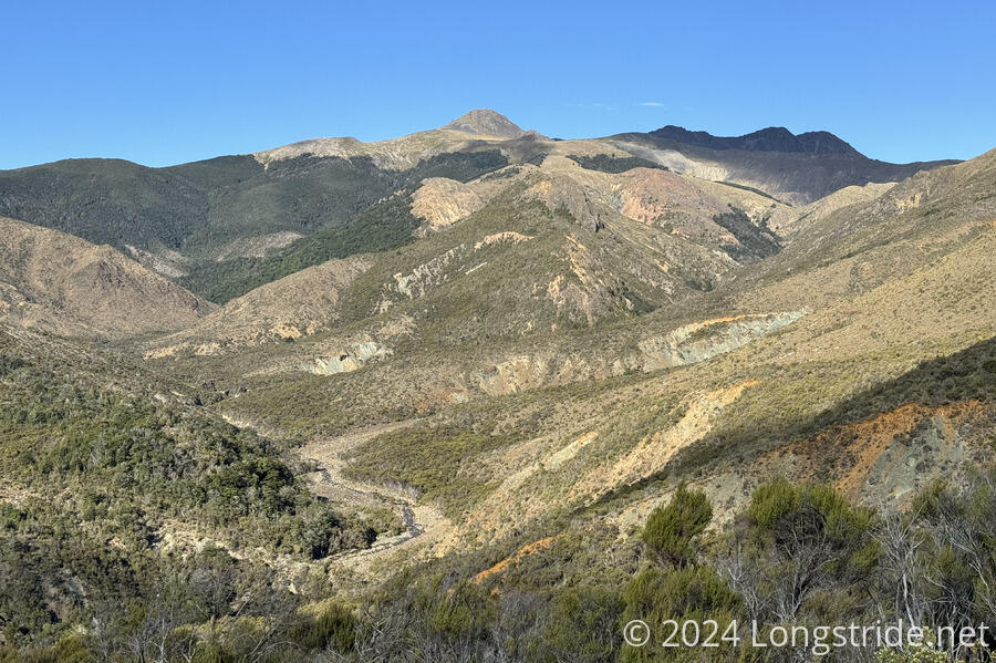
Leaving Top Wairoa, the trail was a bit of a rock scramble for a while, for about half of the rest of the climb up to the ridge. The rocks took on a reddish hue, and the trees were mostly short and stubby, in comparison to the thicker forest lower on the mountain and on the adjacent slopes. This clearly marked a change to the landscape, which the trail notes noted as the trail entering the Red Hills.
After the rock hopping, the trail finished its approach to the ridge going through an overgrown grassy stretch with small creeks that dug deep channels into the hill. With the grasses being overgrown, it was easy to miss the voids and step into them. (Fortunately, trekking poles help out a lot with that problem.) in this area, I also saw two goats; I probably would have missed them if one of them hadn’t bleated out.
Up on the ridge, the step part of the ascent was completed, but the trail followed the ridge uphill briefly, then traversed along the side of the mountain, curving around to the west.
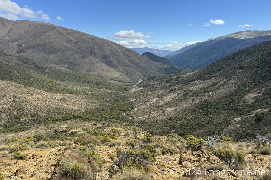
After an hour, the trail finally began its (steep) descent, initially through forest, and then down a barren and highly eroded dirt slope. The trail was often indistinct here, having been clearly formed once upon a time, but obscured as rocks built up along the tread.
From about 3 km away, the roof of Hunters Hut gleamed out in the sunlight. I was both glad I could see where I was going, and yet, it still seemed so far away.
Nearly 6 pm, I finally arrived at Hunters Hut, a replacement for a hut lower in the valley that was destroyed in a flash flood, and named named for the two DOC staff who died staying there while completing a goat hunting expedition.
The hut was full, with me, two northbounders from France, Emma, Michael, and Jeff, and two more southbounders.
Michael, I happened to learn, also completed the Triple Crown, and was actually hiking on the CDT within a couple days of me for a long stretch. It was funny that he’d met most of the group I hiked with at various times, but we never crossed paths.
Near sunset, a brief rain storm blew through, though it didn’t last long.
Tomorrow will be my penultimate day in the Richmonds, hopefully easier than the last several days have been. I’m quite looking forward to being done with this section and getting to St Arnaud for a break.
