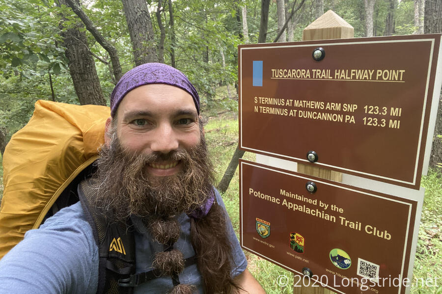
An easy, lazy day brought me past the halfway point on the Tuscarora Trail.
I woke up about half an hour before sunrise to cloudy skies. It was still relatively warm, and I quickly got my food bags off the bear pole and started packing up to leave, beginning today’s hike a bit before 8.
With today’s plan for another ten miles to Spruce Pine Hollow Shelter, I didn’t have to start so early, but, I’d rather spend more time hanging around a shelter than a campsite, and starting earlier would give me the option to go 15 miles to the shelter after, making for a very easy day into Hancock tomorrow.
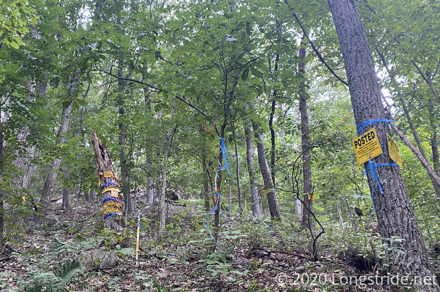
The trail today started off going down an old road, and it was occasionally a bit confusing to follow the trail. In general, the blazes for the first couple of miles were either a little sparse, obscured by tree and plant growth, or confused by the presence of other, unrelated blazes. (In particular, the Tuscarora’s light blue blaze competed with a darker blue blaze that I think was a property boundary marker, and smaller red blazes that I think were a different boundary marker, even though they both appeared at the same time (and occasionally on the same trees).
The only time it was really a problem was when there was a trail or road junction, and missing a blaze could easily send you in the wrong direction — and you couldn’t just follow the dark blue or red blazes because they didn’t always align with the Tuscarora.
There was also a power line “clearing” that was so overgrown that the blaze on the far side was barely visible, and the one on a pole in the middle of the clearing was completely covered by the overgrowth.
That said, I greatly appreciate that the PATC crew that blazes trees takes the time to create mostly uniform blazes. Some of the other blazes this morning looked like a madman ran through the forest with a can of spray paint tagging everything within reach.
The only “hard” portion of the day was when the trail climbed up towards a rocky ridge, which was a little steep, though the primary obstacle there was the trail for a short while paralleled a road, and the blazing was a bit inconsistent, so I kept winding back up on the road when the trail actually climbed further up the mountain. Otherwise, the day was mostly downhill, on relatively easy surface and I made pretty good time throughout the day.
The trail followed or paralleled Dug Road, an old road used for coal mining, a good portion of the morning. The trail used the road where feasible, veering off when Dug Road became impassible.
Just under five miles in, I took a break a little off-trail at a sign for Dug Road (advertising a closure a quarter mile ahead). While I was there, I reserved a motel room for tomorrow and Monday in Hancock.
While I was doing that, a group of thirty day-hikers hiked by on the Tuscarora. I’m not sure that any of them saw me, though I was probably a good 150 feet off-trail and sitting down when they went past.
As I was sitting there, it grew colder, and a light sprinkle of rain got me to put my pack cover on and resume hiking more quickly than I otherwise might have.
The cooler air was refreshing, and I was able to hike faster without getting too hot.
I also passed an unexpected milestone: the halfway point on the Tuscarora Trail! (If I’d bothered to do the math, I’d have known I was reaching this milestone, but since I didn’t start at the Tuscarora’s terminus, and the first and second legs of the AT part of the loop aren’t the same length, I hadn’t really thought about those milestones at all.)
I let the brief distraction and wave of euphoria at behind halfway done the hike’s primary goal carry me up the trail, perhaps a bit too literally: I wound up slightly off-trail, hiking up along side-trail to a neighborhood. A rather large fallen tree had obscured the trail, and the next set of blazes, and I didn’t notice, because there was a perfectly good trail to follow. Fortunately, gps-enabled maps came to the rescue (as they have all other times I’ve been slightly off-trail), and I was back on the right path quickly enough.
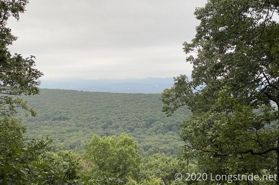
As I continued, I passed by a few small groups of day-hikers, and one pair of hikers that were on their way to Sleepy Creek for camping. Most of the day-hikers were out to see the “Devils Nose”, a rock formation with now semi-obstructed views due to tree growth.
The trail continued on, and after a very steep downhill (which was, quite possibly, the steepest portion of the trail I’ve encountered so far), I reached a dirt road, which I followed most of the way to the shelter.
Along the way, there were an extensive quantity of private property signs; one particular landowner seemingly went overboard with their signage to the point that it was gaudy.
Leaving the dirt road, the last bit of trail leading to the shelter ran fairly close to homes; it felt like the shelter was practically ins someone’s backyard. It wasn’t really that close; I’d estimate at least a quarter of a mile away, but you could easily see the homes from the trail, and light from them from the shelter in the evening.
I reached Spruce Pine Hollow Shelter around 1:20, to still-overcast skies. It was a nice, solidly built shelter, with integrated tables and benches, as well as a large picnic table. Continuing with the trend, the shelter’s privy was the “Last Chance”. (“For Gas”, it said, inside.)
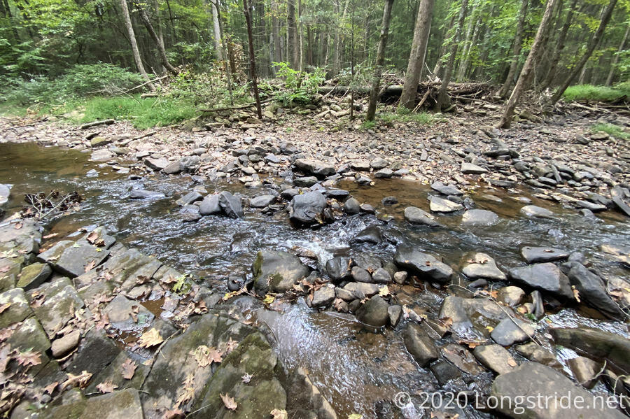
I collected water from the nearby creek for dinner, and then wound up putting my fleece on to stay warm; there’d been no sun all day, and it was actually a little bit chilly out.
Aside from water and dinner, I mostly relaxed this afternoon. I still felt a little tired, but not nearly as much as when I got to Sleepy Creek yesterday.
About a half hour after sunset, I heard fireworks. I guess someone needed a tiny little celebration.
I’m setting no alarm for tomorrow. With only another ten miles to town, and a motel room waiting with a 3 pm checking, I can sleep in for once.


