My back cooperated enough that CareFree and I made it to the next road. But that’s as far as we could go. With great reluctance, sanity (and safety) required that we pause our hike with a little less than halfway to go.
We set an early 6:30 am alarm, to give us plenty of time for whatever the day held. Of course, that meant we didn’t really get up until 7:15. Neither of us slept all that well, since I was in pain, and CareFree was silently sharing my pain. That said, I still felt better this morning than I did yesterday, which was a great improvement. Using CareFree’s more firm sleeping pad and slightly raising my feet helped a lot, I think. Still, it took us a long time to leave; we didn’t start hiking until almost 10 am.
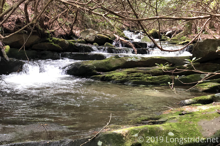
The trail continued to follow Brookshire Creek down the mountain, and as we descended, the humidity rose fairly significantly. We had to ford the creek twice, though we were lucky in not getting our feet near as wet as we expected.
After our last crossing of the creek, we began a 2.5 mile climb. Under normal circumstances, this wouldn’t have been that hard of a climb, but we were both ready for a break as we approached the top.
After a snack break on an old road bed, we began a 2.5 mile downhill, which brought us to the Pheasant Fields Picnic Area, on Tellico River Road, just before the river. On our hike down to the river, we discussed potential options for getting home; CareFree suggested getting a rental car, which I thought would be a good option, if we could get someplace where there was one.
After much consideration during the hike to the river, I decided we needed to stop there. My back was feeling better than it was yesterday, but it was not recovered, and wouldn’t be recovered if I continued to subject it to the stress of hiking. And although I could still hike with a light pack, it is still unfair to CareFree to make her carry my half of the tent and all of my food. (And while that might have worked until we got to Fontana Dam, there’s no way she could have carried full resupplies for both of us through the Smokies.) Plus, I was still going slower than usual, which would make even our “slow” plan difficult. And, there were very few road crossings for the next 30 miles, meaning that I would only be a huge liability if my back got even worse than it was.
While at the picnic area, we met Steve and Kathy, who were camping at a nearby campground and were exploring the area in their convertible. Sympathetic to my plight, they offered to give me a ride to the nearby fish hatchery, where we were hoping to use a phone to get a ride somewhere. (Somewhat surprisingly, I’ve still not had cell service on trail since Hemp Top mountain, over 70 miles ago. This is easily one of the longest stretches I’ve had with no cell service on any trail I’ve hiked, with only portions of the Pacific Crest Trail having longer dead zones.)
Steve’s convertible made getting to the hatchery slightly complicated. CareFree and I couldn’t fit in the car with the two of them, even if we didn’t have our packs. So Kathy offered to walk there with CareFree, while Steve drove me. We crammed my pack into his car’s small trunk and set off. However, the fish hatchery wasn’t of any help, though not for lack of trying. A one-lane bridge across the Tellico River, that was presently closed to vehicles, was the only way to access the hatchery. Steve and I drove a mile or two so past before we decided there wasn’t any other way to get there. So, we backed up and returned to the bridge to walk across, first excavating my pack from his trunk. By the time we’d walked across the bridge, Kathy and CareFree were already on their way back. It turned out that the fish hatchery had no phone service whatsoever, so while they were sympathetic to our plight, there was nothing they could do.
Ideally, Steve would have taken us to Tellico Plains himself — he would have if his car could hold more than two people — but since it didn’t, he offered to take me a mile and a half down the road to the Green Cove Motel, where there was known to be a phone. So, my pack went back into Steve’s car, and off we went. CareFree and Kathy followed, walking alongside the road.
At Green Cove, which had a small general store that doubled as the motel office, I saw my first working payphone in I don’t know how long, though I skipped that (because it was in use) and went inside to ask if I could use the motel’s phone, in case I needed to leave a message and get a call back. The owner, Joan, was happy to let me use their phone, and I called a shuttle service listed in the BMT thru-hikers guide and left them a message.
Steve drove back down the road to pick up his wife, but she and CareFree were almost to Green Cove by that point, and insisted on finishing the walk, so he came back and we chatted until they arrived, after which point, we said goodbye to Steve and Kathy, and they headed off to the campground they were staying at. As they were leaving, an older guy with an enormous beer belly and blue t-shit exclaiming, “I never argue. I just explain why I’m right.” walked to the store, and we had to take a moment to appreciate his shirt.
With no response yet from the shuttle service I called earlier, I called my AT hiking partner, Beast, who lives in North Carolina, to ask if there was anything he could do to help, but I only got his voicemail, and l left him a message with the motel’s callback number.
CareFree and I continued to wait, hoping we’d get a call back from someone before the motel closed (and we’d be forced to stay there tonight). The man with the t-shirt returned while I was talking with Joan, and we learned that his name was also Steve, a long-term resident there, and he offered that he could take us into Tellico Plains. We were still unclear how we’d get home from there, but any way we left would likely require us to go to Tellico Plains first, so, off we went.
We opted to again stay at the Tellico Lodge, even though it was a bit pricey, because we liked the place, and the owners. And, we got a bit of luck: the owner was planning on driving up to Maryville, TN tomorrow to get his repaired tractor, assuming the parts were ready, and would be willing to take us there. At the nearby airport, we’d likely be able to get a car from a car rental place that also has a location within walking distance of my house. And, if we couldn’t get a car there for some reason, we’d be close enough to Knoxville that there’d be additional options available to us.
We got showers, and after another failed attempt at getting a pizza place to deliver to the lodge, walked into town to get pizza from the other pizza place, which serves beer. While there, I looked into car rentals to ensure we’d be able to get a one-way rental to home. And, Beast got back to me; unfortunately, he was a lot further away than I thought (six hours!), and the soonest he’d be able to get here would be Friday, by which time we were hoping to already be home and resting.
This brings the first part of my BMT hike to an end. And though we may be off-trail for now, we’re not done. I’m not letting an injury stop me. Once my back heals, we’ll return later this year to finish the BMT. And when we return, the Great Smoky Mountains await.