The second day of our road trip back home was pretty uneventful, with more sightseeing, hiking, and driving.
After a simple breakfast using our leftover food, CareFree and I left Bryson City shortly after 10 am. Quickly making our way to the Blue Ridge Parkway, we continued our long, slow, journey home. Once on the Blue Ridge Parkway, numerous scenic overlooks demanded our attention.
Our first hike of the day took us to the summit of Waterrock Knob, about mile round-trip. I left my trekking poles in the car since the path up looked paved — and it was for a short distance — but once the paving stopped and the real trail began, I wished I had my poles. My back still hurt (though a little less than yesterday), and some of the stretching and maneuvering I had to do without support from poles was a bit difficult and uncomfortable.
Part of the trail to Waterrock Knob coincided with the Mountains-to-Sea Trail, a roughly 1000-mile hiking (and canoeing) trail through North Carolina that starts at Clingmans Dome in the Smokies and ends at the Atlantic Ocean. The MST roughly follows the Blue Ridge Parkway for a significant distance (at least a couple of hundred miles).
Around lunchtime, we took a short detour off the parkway and grabbed lunch near Waynesville, NC.
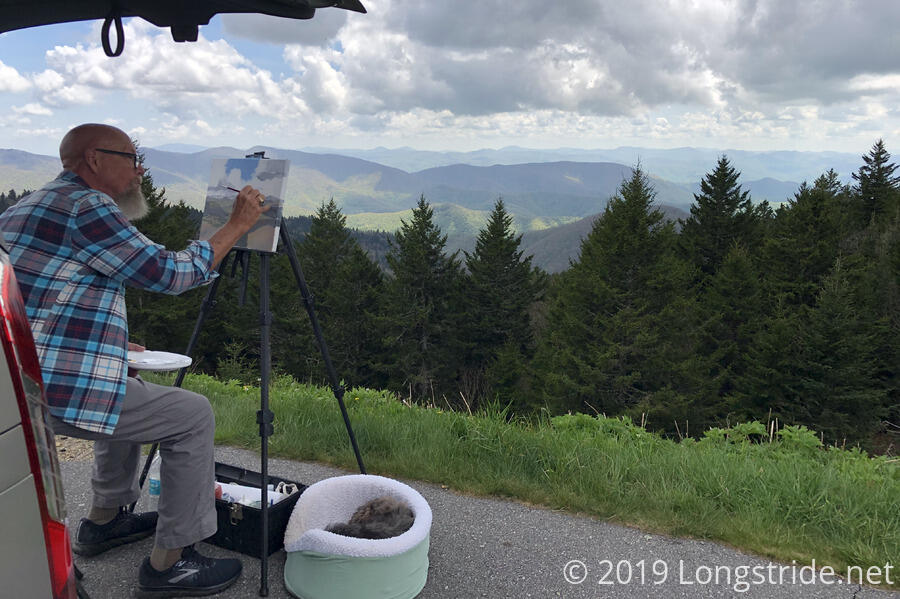
Back on the parkway, we passed one overlook where there was a couple sitting at the overlook with a pair of foldable chairs. We stopped at the next overlook, the Richland Balsam Overlook, where we found an artist painting a landscape out of the back of his car.
David Nelson Collins was working on an en plein air painting of the view from the overlook. In this style of painting, an artist paints a scene outdoors, with natural lighting, and must work quickly to capture the essence of the scene before the sun moves, the lighting changes, and the essence of the scene changes significantly or is lost entirely. He is working to do one painting for each of the more than 200 overlooks on the Blue Ridge Parkway, and is almost halfway through his project. He and his friend took a break to chat with CareFree and me about his work and our hiking experience.
After leaving that overlook, our next substantial stop was at the trailhead for Mount Pisgah. We took a roughly 2.5-mile round-trip hike up to the summit. The mountain, at just over 6,000 feet, has the highest radio tower east of the Mississippi. An observation platform adjacent to the tower provides a nice view of the surrounding landscape.
Our last hike of the day was to Craggy Pinnacle. Several lookouts on and near the summit provided views in all directions.
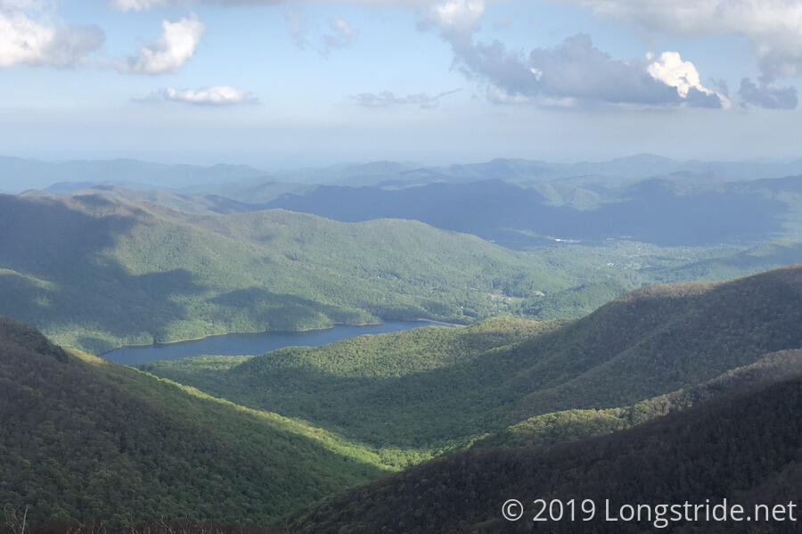
For much of the day, the Blue Ridge Parkway wound its way along the side of mountains, providing great views of the surrounding region. With little traffic on the road, it was a quite scenic and enjoyable drive.
With evening approaching, we left the Blue Ridge Parkway, getting dinner, and then a motel room in Pineola.
We’d estimated that we’d be able to drive the roughly 570 miles along the Blue Ridge Parkway and Skyline Drive today and tomorrow, though we were overly optimistic on our pace down the road. We didn’t really factor in time spent stopped looking at overlooks or going on short hikes. By the end of the day, we’d only managed about 150 miles. Finishing even the Blue Ridge Parkway tomorrow seemed dubious, but, that’s a challenge for tomorrow...


