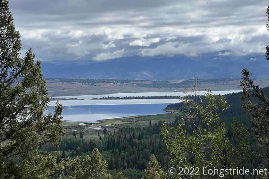
A short day today took us into the town of Twin Lakes, and then away from the trail to Basalt, where Sprout’s cousin lives.
Leaving camp around 6:30, while the sun was still low and it was still cool out, I continued up the steep mountainside towards Hope Pass. Hanging on a tree near our campsite was a long pink-and-black striped ribbon. I didn’t recall seeing it yesterday, and I couldn’t imagine why any of us would even have such a ribbon, let alone leave it behind.
My confusion was quickly resolved when a couple of trail runners came down the trail. They were part of a training camp for the Leadville 100, a 100-mile ultramarathon run later in the year. Ribbons had been placed (very) early this morning to assist the runners.
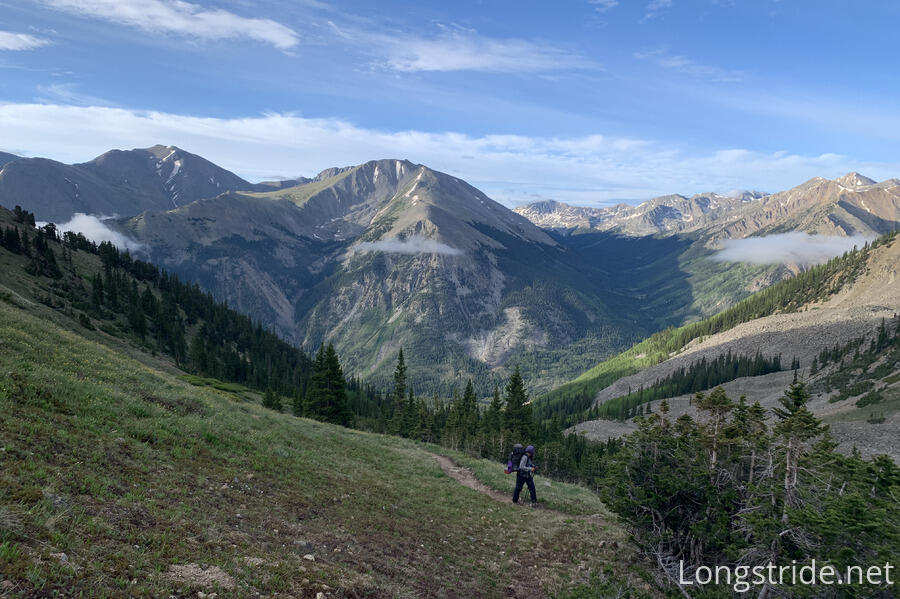
I set a goal for myself to hike the 1.4 miles and 1300 feet uphill to the pass without stopping, except to take pictures. I was successful in my personal challenge, also passing almost everyone who started before me before I reached the pass.
From the campsite, it didn’t take long for the trail to rise above the treeline. Once it did, the view back towards the valley we’d climbed out of was spectacular. A trio of clouds floated over the valley, in front of the mountains that made up the valley’s south wall.
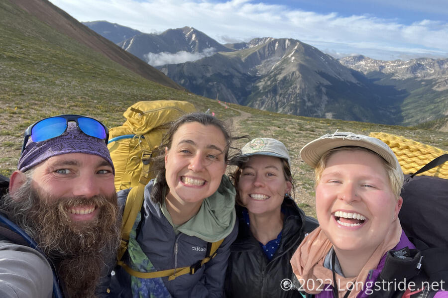
Naturally, it was fairly windy at the pass, which made it quite cold. Tiempo, Windchime, Cream, and Almost didn’t linger at the top, and were gone long before we left the pass.
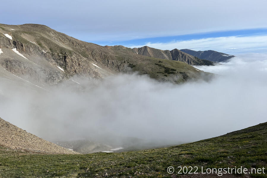
While the view to the south was pretty incredible, the view to the north was hindered by clouds. In fact, the clouds were in the valley below the pass, so I knew even before heading down that we were going to have to hike through fog.
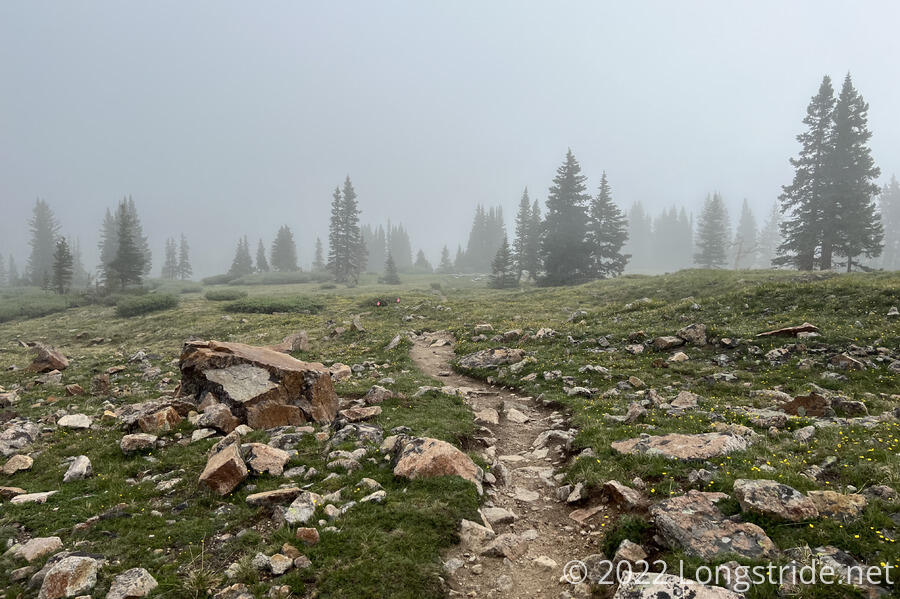
As we descended, we very quickly entered the fog. Occasionally, alongside the trail, were little pink flags for the Leadville 100. It didn’t seem necessary to me to mark the trail, but I guess they were there to mark out hazards that would be helpful for runners to be aware of a little bit ahead of time.
As I got further down the mountain, I started seeing trail runners heading uphill. A few at first, and then so many that there was no point in attempting to count them. They were all with the Leadville 100 training camp.
I stopped at a trail intersection about three-quarters of the way down the mountain, at a creek with a bridge, to have a snack and wait for the rest of my group.
Further down the mountain, the CDT makes a circuitous loop around the east side of the Twin Lakes. But, there are a couple of different routes to cut off that loop, saving a few miles, and which go directly past the Twin Lakes General Store. I had already been planning on doing that to save time: I had a box waiting at the store, and going there from the trail is an extra mile and a half each way. And, I’d already hiked the Tahoe Rim Trail, so it seemed unlikely that the eight mile loop around these lakes would match that splendor.
But, there was also another reason to skip the loop around the lakes. Yesterday, Sprouts arranged with their cousin, who lives “nearby”, to pick all four of us up from the trail today, and bring us back on Tuesday. We expected them around 1 pm, and we didn’t think that would give us enough time to hike the whole loop. (Though, a large portion of the loop is relatively flat, so if we hustled, we might have had just enough time to do it.)
So, once everyone made it down to the intersection, we departed from the CDT and followed a series of side trails the rest of the way off the mountain.
On our way down, we passed the owner of the general store, and his very energetic dog, doing trail maintenance, filling in a hole on the side trail we were on.
We made it into town around 10:30, and immediately set upon one of the food trucks near the general store for (second) breakfast. We then visited the other food truck and got burgers for lunch, just as it started to rain. It would continue to lightly rain the rest of the time we were in town.
We took our burgers across the street to a picnic area near the visitor information center. While there, a hiker who recognized me came over. It was Cannon, who I’d first met on the Pacific Crest Trail in 2018 during a day-long birthday party at a campground. Now, she was hiking the Colorado Trail, and heading northbound, as well. (Most CT hikers go southbound.) It was wonderful to catch up with a fellow PCT hiker.
After stopping by the information center, we eventually made our way to the general store to pick up the boxes we’d all sent there. While we were there, Cream also stopped in; her group did do the whole loop (proving that we could probably have done it as well, although without having the opportunity to have already stuffed ourselves with food).
Sue, Sprouts’ cousin, and her husband, Michael, also showed up around that time, having brought two cars so that everyone (and our packs) would fit safely. The ride to their home in Basalt (near Aspen, Colorado) goes partially on a narrow twisty mountain road, and they wanted to make sure everyone had a seat belt, just in case. They also brought water, snacks, fruit, and sandwich material. Lacking a better place due to the rain, we kind spread out a bit on the covered patio of the restaurant adjacent to the store and ate snacks and sandwiches for a short while, until we piled up into the cars and headed out.
Pale Ale and I went with Michael; the ride took nearly two hours. Along the way, we went over Independence Pass, which was beautiful. A couple of times, the road narrowed to a single lane. It rained most of the way there, but had cleared up by the time we passed through the ski town of Aspen.
Once we arrived at Sue and Michael’s condo and got situated, the first order of business was showers, then relaxation and dinner.
Tomorrow: Rest, and maybe a little bit of shopping.
