Today, a very long roadwalk out of the mountains put me in position for a “short” day into Steamboat Springs tomorrow.
I was quite happy to find my tent and sleeping bag were nearly bone-dry this morning. The little bit of rain that fell last night had completely evaporated, thanks to the breeze and otherwise not being near a water source.
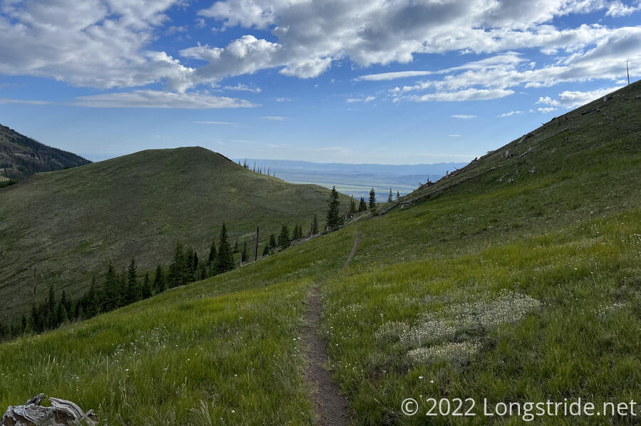
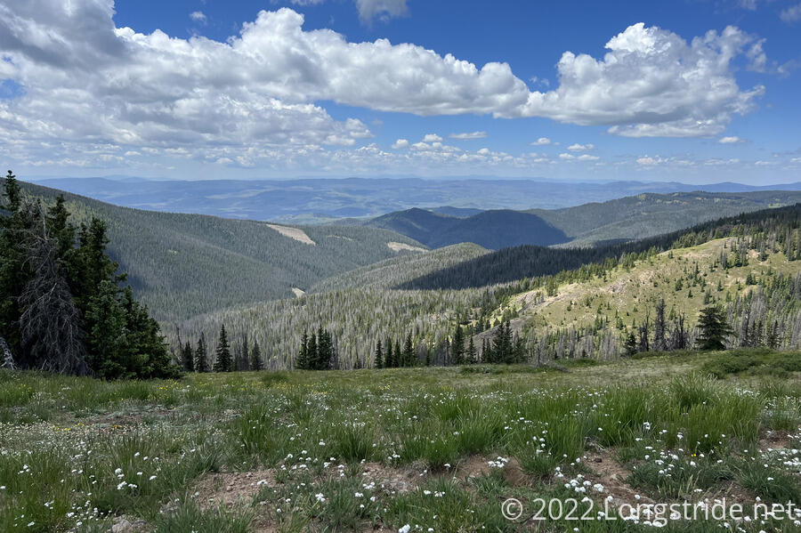
The trail this morning started off with a relatively gentle uphill, as I continued west along Poison Ridge and moving from the Arapaho National Forest to the Routt National Forest. After briefly re-entering forest, the trail continued a climb along a grassy ridge with views to the south, and the north on occasion. To the north beyond the mountains, it appeared as though there was a gigantic plain, which felt similar to the one I saw a day south of Grays Peak.
It was nice out this morning, with a few clouds that kept the sun off, at least for an hour. I wished I’d started earlier in the day like I’d planned to take better advantage of the low-lying clouds before the sun rose above them. Less sun (and cooler temperatures) would have reduced the amount of water I needed, since I was pretty low after yesterday. Fortunately, though, I didn’t run out before I got to a creek to resupply. After a few miles, I passed two northbound section hikers, heading to Yellowstone. They were the only hikers I saw today.
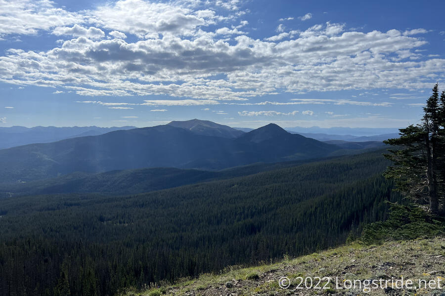
The trail climbed partway up Sheep Mountain, affording a view back towards Parkview and Haystack mountains. I briefly considered climbing to the summit, but without a clear trail to the top, I didn’t want to add a few hundred feet of extra elevation gain when I was already planning a long day today.
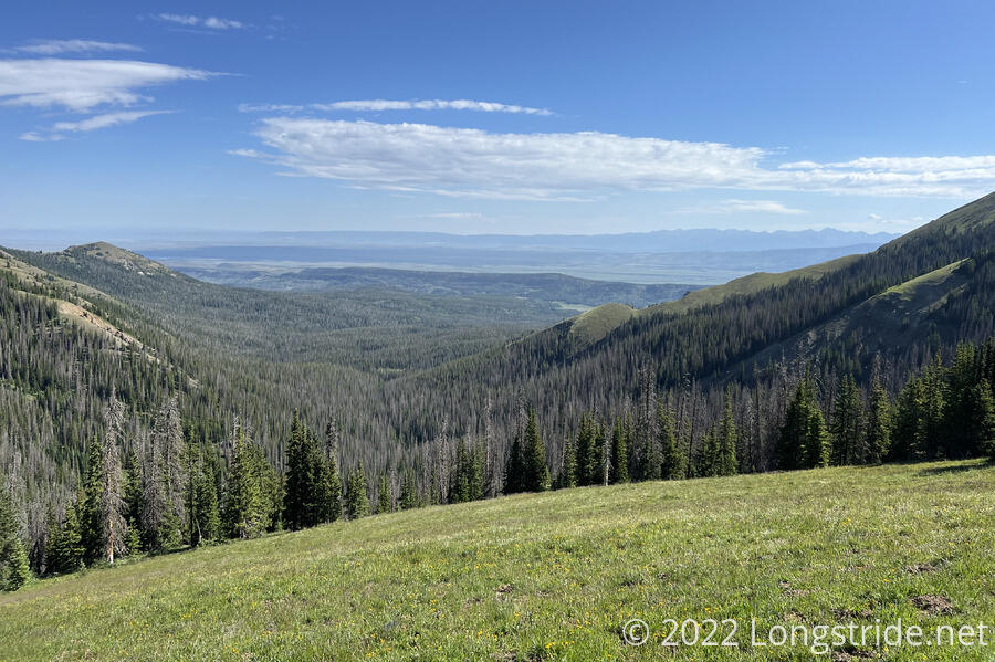
After passing along Sheep Mountain, the trail bounced mostly along a ridge for a while, giving a clearer view of the valley to the north — and into Wyoming — before passing along a highly rugged mountain side and heading downhill, towards a creek.
I stopped for a break at the creek, collecting (and drinking) plenty of water, somewhat making up for nearly running out yesterday. While climbing back up from the creek, I missed a sharp U-turn in the trail and followed what was probably an older alignment of the CDT, charging steeply up the creek valley until rejoining with the surprisingly well marked CDT.
On my break, I pondered that if I had an extra day’s worth of food, I could save some time by skipping Steamboat Springs and (with a couple of very long days) push to my next resupply in Encampment, Wyoming. Of course, it’s not like there was now anything I could do about it, but upon later reflection, I decided that having the extra day of food would have made the start of this section unnecessarily difficult, and I wasn’t likely to actually get up early enough each day to get the extra miles in anyway.
The trail climbed up to a ridge, a meadow with wildflowers, joining a dirt road. I took a brief detour to follow the follow the road in the wrong direction to climb up to the top of the ridge, and then took a direct route back down the ridge to the road, following it northwest. This began the last roadwalk of Colorado: the next thirty miles are on road: the rest of today, all of tomorrow, and then a bit the day after. I put a podcast on, and began a long gradual downhill on the road. At least for now, it was a dirt road in the wilderness with no traffic.
After awhile, the road dropped into forest and the views stopped. The road became so monotonous that I hiked right past the spring and campsite I planned to stop at today, not even noticing them. Which turned out to be for the better; it wasn’t even 4 pm then, and there was still plenty of sunlight to go. But that did mean my next campsite was a bit hazy: there were vague comments in my trail guide suggesting there was a good spot ahead off of the road, but that it may or may not be on private property. (Later, I realized I’d probably missed where I wanted to stop because there was likely someone car camping there. There were quite a few RVs parked along the road.)
The long downhill wearing me out, I stopped on the side of the road where it was wide enough I’d be easily out of the way of the occasional truck passing. As soon as I stopped, I was swarmed by flies. After I left, they must have followed me, and any time I stopped for even a few seconds, they surrounded me again.
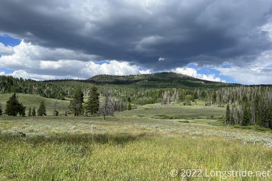
Following the road downhill all day dropped me 2500 feet in elevation, exiting the mountains into cow pastures. Over the afternoon, the clouds gradually accumulated, and a dark cloud formed over a nearby hill.
I kept following the road, stopping along the way at a creek to collect water for cooking dinner. I set up camp further down the road, partially hidden behind some shrubs, where the comments in my trail guide suggested. I cooked dinner first, waiting to set up my tent until closer to sunset, just in case I was on private land. (Accordingly, I plan to leave as early as possible tomorrow, to minimize the number of cars that might go past, and also to get to Steamboat Springs earlier.)
My feet were pretty unhappy after fourteen miles of dirt roadwalk. They’re going to be downright miserable after tomorrow’s roadwalk, much of which will be paved.
The evening was uneventful. One or two pickup trucks passed, cows grazed and mooed off in the distance, and I saw a couple of deer on the hillside, across the creek a little deeper in the valley.