I woke up at 6 am today, after having forgotten to turn on my alarm. As I expected, Quoi had already left: we decided last night that it probably made more sense for her to leave earlier than I do, since I’m the faster hiker. I’ll easily catch up with her at some point, and won’t have to wait (or wait for as long) at our checkpoint before the end of the day.
I got started just before 7, getting out of camp fairly efficiently, even though it was a bit cool out.
After a mile and a half, I reached the Barker Pass trailhead. It has a pit toilet, but the door was locked. Also there was Mousetrap, just starting to get out of his sleeping bag. He gave me Quoi‘s external battery; his battery and phone had completely run out of power, and Quoi lent him hers when she went past earlier.
Shortly after, I took a short standing internet break when the view to the west opened up.
After four miles, at the North Fork Blackwood Creek, I stopped for water. I had initially overshot the creek, and realized my error when the trail started to run alongside the creek, flowing very well, in a (relatively) deep canyon next to the trail. Fortunately, I didn’t overshoot very far, only a few hundred feet, at most.
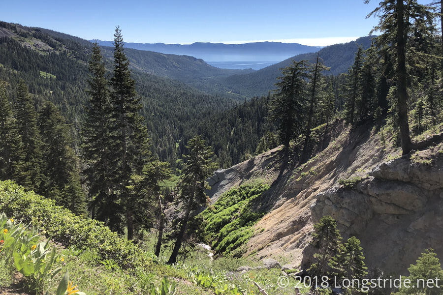
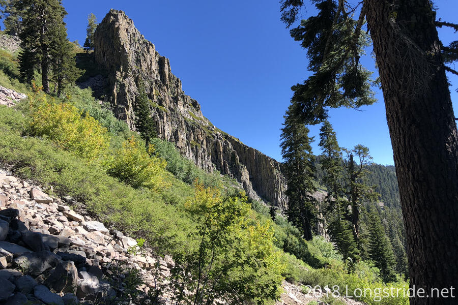
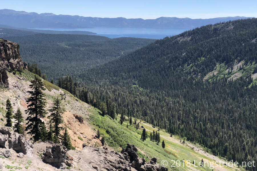
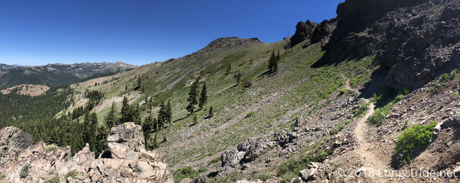
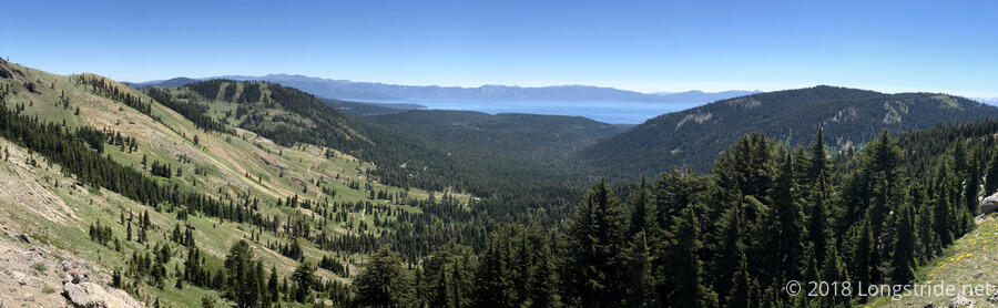
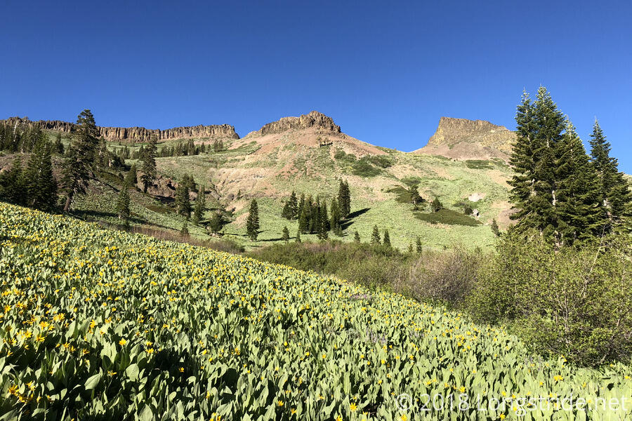
Throughout the day, when there was a view to the east, Lake Tahoe would be visible. Even when Tahoe wasn’t visible, the landscape was absolutely gorgeous. There were so many great landscape photos, I can’t include them all here.
For a short while, the trail followed a thin ridge situated between Lake Tahoe and the mountains to the west. At times, this ridge was barely wider than the trail itself (with a steep drop down), but it made for some expansive views.
The trail also passed through a couple of ski areas. In one of them, the trail skirted signs warning of the edge of the ski area, beyond which there is no avalanche control or ski patrol. A sign, lying on the trail, claimed to be the “Easiest Way”. Later, the trail passed under a ski lift.
I took my second break near a stream after about 12.6 miles, catching up with Quoi. During the next uphill, she fell behind again.
About 17.5 miles into the day, around 3:30, I stopped to cook dinner next to a spring. This was the best place to do it, since the next reliable water is in the town of Truckee. While I was there, I had cell service, and discovered that, after reaching South Lake Tahoe, Flowers has quit the trail. I joked in a comment on his Facebook post that, now that both he and Dylan have left, who was now going to pull me out of postholes? (Which they both did a lot of in the Sierra when we were all together.)
With pretty perfect timing, Quoi got to the spring at 5:15, as I was starting to clean up from dinner and put everything away. About 15 minutes later, we were off to our campsite, just under four miles away, which we reached a little after 7. Our campsite, a little off the trail and through a field of somewhat thick plants, was located in a nice clearing under some trees. Tinker Knob, which we’ll be climbing along side tomorrow, was visible in the distance.
Earlier in the day, I noticed that the tips on my trekking poles looked to be in bad shape. One of them was on the verge of being driven into the pole’s innards. I showed it to Quoi, and she commented that it probably only had one good hit left in it. Sure enough, the one tip took one more good hit sometime after that, and was driven inside the pole. So I’m going to need to get replacement pole tips. Fortunately, we’ll be going into Truckee tomorrow, and the town has an outfitter, so that should work out fine. (And this is a much better situation than my old REI poles, which would have necessitated a complete replacement for the same problem.)
After Truckee, our next town stop will be Quincy, abut 120 miles from here.