Today, I hiked 24.9 miles, my longest on the PCT so far (and less than a mile shy of my distance record on the Appalachian Trail).
I woke up to a rather unpleasant sight: bugs covering both exits to my tent. Fortunately, most of them weren’t mosquitoes, but it was a pain to get them to leave so I could get out and not be covered in a swarm. And, the mosquitoes were out early this morning, though at least they weren’t as bad as last night.
With a plan to do 25 miles today, I got up at 5:30, instead of 6 as Quoi and I have done lately. (I’d have suggested we get up at 5, but I knew she hadn’t gotten much sleep the last two nights, and proposed 5:30 as a hopefully happy medium.)
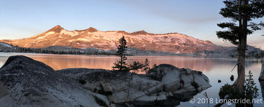
I started hiking at 6:30, following the rocky shore of Lake Aloha. It was a beautiful lake to camp at yesterday, and it was just as incredible to walk along this morning in the early light.
For much of the morning, the trees were releasing clouds of pollen. It was easily visible when the wind blew. I’m pretty sure I’m a bit allergic to tree pollen, and while it’s not bothering me right now, I suspect I’ll be noticing it tomorrow.
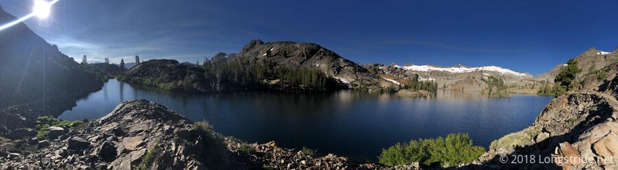
The trail in the morning, as it wound its way alongside several lakes, was very rocky, and it was a bit tough on my feet. Fortunately, it eased up a bit as the day went on, especially once it passed over Dicks Pass. The trail passed by a trail to a Mosquito Pass. (I thought any number of the previous passes we’d crossed, especially Dorothy Lake Pass with its long meadow on the approach, would be worthy of that name.) It also passed 1100 miles, though there was no marker that we saw.
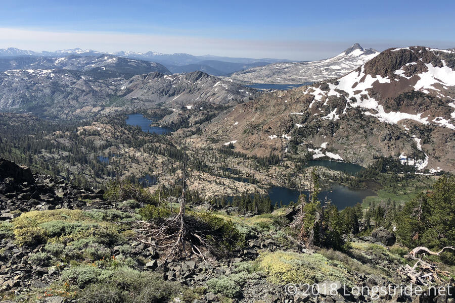
The trail climbed up and over Dicks Pass, with only a small amount of snow on the south side. As the trail climbed in earnest towards the pass, more expansive views of the valley below were possible, and the views, with no shortage of lakes, were incredible. Dicks Pass is also the last time the trail will be over 9,000 feet.
After cresting Dicks Pass (which, unusually for the trail recently, had a sign marking the pass and elevation), the next 0.6 miles of trail was mostly covered under a snow field, making navigation somewhat confusing. There were a number of foot trails in the snow that seemed to be somewhat oblivious of where the trail was (or was going), and I had to just hike in the general direction of the trail a few times until I hit it.
While I was being indecisive about which of two paths to take, Craynip got a little bit ahead of me, and then hiked off into the weeds, going off-trail to get around some now, and then (at least, while I was able to see him), didn’t turn back towards the trail. Craynip wound up startling me an hour or two later, while he was stopped next to a lake (that he’d later get in). He tried to tempt me into the lake (there was a nice underwater sandy beach, so it’d be easy to get in and out), but since Quoi and I were planning to do nearly 25 miles, I didn’t want to take the time to stop and swim.
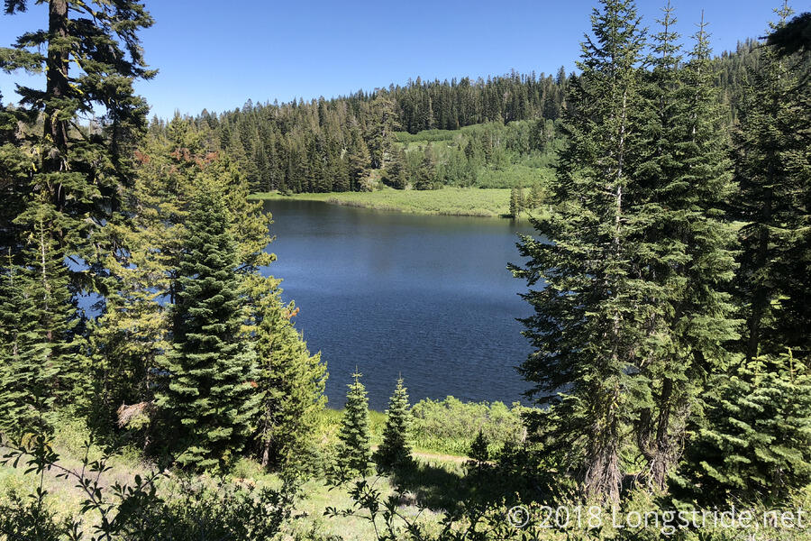
Once the trail descended into the forest, there was little in the way of scenery the rest of the day. The trail passed by a few more lakes, but that was about it. The pine forest blocked views, though because their branches didn’t extend far from their trunks, the trail wasn’t well shaded, and was still largely exposed to the sun for most of the afternoon. I also saw quite a few Tahoe Rim Trail hikers. At one stream crossing, where three of them were having a little difficulty making it across some rocks and a few small fallen trees, (after watching where they were walking) I crossed quickly with no problems. “You make that look easy,” one of them said; “I’ve been doing this awhile,” was my reply.
At 3 pm after a little more than 20 miles, I stopped at Richardson Lake to cook dinner. By that point I was hoping that there would be an easy access to the lake so I could jump in and rinse myself off, but there wasn’t, and the water was kind of skummy from tree pollen. I was sort of regretting not getting into the lake earlier in the day, and in retrospect, I would have had plenty of time to do so.
The campsite at Richardson Lake, unfortunately, literally smelled like shit. Later, I discovered that an ATV trail came through the campsite (and two groups of ATVs came through), so I presumed that the smell actually was poop from locals who were less careful and didn’t follow Leave No Trace practices.
Craynip arrived at the campsite about five or ten minutes after I did, and we chatted for awhile as we waited for Quoi and Mousetrap to catch up. We both ate our dinners, and as the hour grew later, Craynip said he was surprised that Mousetrap was so far behind, since Mousetrap had said he wanted to do 30 miles today. Craynip eventually (and understandably) grew tired of waiting for our late friends, and hiked off around 5:15. Around 6, Mousetrap arrived, and was surprised to find he had only hiked 20 miles. (He thought he was at 25.)
Quoi got there about ten minutes later, and after a short break for her, we continued on, going just under five miles to a campsite, getting there at 8 and giving us a 24.9 mile day.
Tomorrow: We’re aiming for another 20+ miles to give us a short day into Truckee the day after.