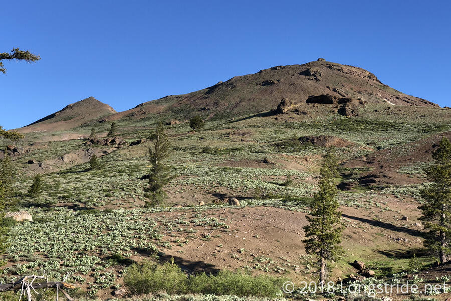
Quoi and I began our third 20+ mile day in a row at 7 am. The literal (elevation) high point of the trail for the day was along the side of The Nipple, a pair of mountains with rock formations on their peaks that, from a distance, look like nipples. Naturally, Quoi and I made no end of off-color jokes.
It was fitting this was how the day started, because, today is also the Summer Solstice, which some hikers celebrate as “hike naked day”. Quoi is one of those hikers, and was quite looking forward to hiking naked (and, no doubt, seeing other hikers sans clothing) but it was somewhat cold and windy in the morning, so that put the kibosh on nude hiking for the time being.
The trail entered a forest, and there, we ran into Ninja Fabric, who had flipped north to Dunsmuir, about 430 miles north of here, after she turned back from Forester Pass and went in to Lone Pine after our first attempt to summit Mount Whitney. She had also just bent one of her poles, slipping on snow just a few minutes earlier.
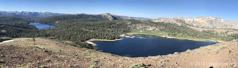
The mountain pass of the day is Carson Pass, named after Kit Carson, guide and navigator for the Frémont Expeditions that surveyed parts of the American West. The trail south of the pass descends into a canyon, then climbs to a saddle before descending to Carson Pass. On both sides, numerous small lakes added blue to the landscape.
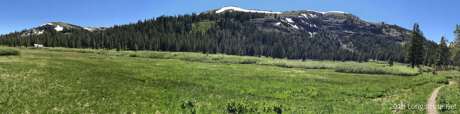
In the valley, we encountered a bit of snow that slowed us down, but not too much. As we climbed out of the valley, the snow got sparser until we climbed past a few false summits and turned a corner to a more shaded part of the mountain, where a somewhat substantial snow field on a steep slope covered the trail.
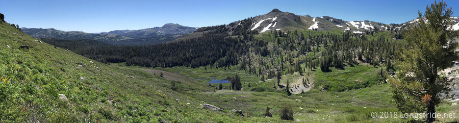
From there, up to the top of the saddle, the landscape was barren and rocky (and snowy). Immediately after cresting, though, the trail enters the Carson Pass Management Area and became lush and green. Conservation area aside, the two sides of the mountain couldn’t be more different.
After a nice, wide downhill (with a fair number of day-hikers, dogs, and a lot of dog waste bags on the side of the trail), I arrived at the visitor and information center at Carson Pass at about quarter to noon, and was almost immediately noticed by one of the volunteers that works there. I sat down at one of the picnic tables in front of the visitor center, and I was given a can of soda, a few slices of watermelon, a clementine, and a piece of candy. I was also able to get my water bottle refilled. Thank you so much, Janice and Lisa, and everyone who contributes to the hiker trail magic at Carson Pass!
While at Carson Pass, the volunteers made mention of a naked hiker with lots of tattoos that had surprised a group of older ladies. Based on the vague description, Quoi and I supposed that might have been Craynip, but we were not sure.
After we crossed the pass and made our way partially up the next hill (and passing no small number of day hikers returning from their hikes in the process), Quoi decided to strip down and hike naked, wearing underwear, and her t-shirt folded over her pack’s sternum strap as a modesty guard for day hikers unaware of hike naked day. (Also, it was still a little cool out.) At the end of the day, Quoi was a little surprised that no one else we met went naked, but I figured that it was because we were so close to town, and that we’re also still a bit ahead of the main bubble of hikers, which is probably still a week behind us.
This afternoon, the trail was joined by the Tahoe Rim Trail, a 165-mile trail around the mountain ridges surrounding Lake Tahoe. The Tahoe Rim Trail will follow the PCT for about the next 50 miles.
Later, we briefly stopped at a campsite that we thought was the one we were looking for, and found it barely suitable; the one good tentsite was already taken, and the other two spots were small and lumpy. We were chased away by the mosquitoes and the realization that where we were actually looking for was a quarter mile ahead.
We reached the campsite we were actually looking for a little before 6:30, crossing a nice creek, and found the place also swarming with mosquitoes. But, we were a bit tired, and we’d already completed our goal of 20 miles for the day, so we stopped there anyway. I collected and started filtering water for dinner, but the mosquitoes were so bad that, since it’s only about 3.5 miles into town tomorrow, I skipped cooking dinner, and instead had a snack dinner, adding in some fig bars and cheese that Quoi had extra.
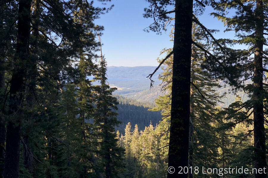
The campsite offered a small view of Lake Tahoe, our first glimpse of the lake we’ll be hiking around over the next few days after we leave town.
Tomorrow: A short day into South Lake Tahoe.