I got up around 5:45, and Rainbow and I left the parking lot at the VT 9 trailhead a bit after 6, heading for the Stratton-Arlington Rd trailhead, 22.6 trail miles north, to hike south. Papa Monkey left the parking lot heading north right before I got up, giving him a head start on us.
Rainbow and I got started hiking south, back towards VT 9, around 7:30. About an hour later when we reached the next road crossing, we found a message tacked to a tree, asking SOBOs to relay a message to a particular SOBO that someone in their group had hitched into Bennington to get their injured ankle looked at.
At the next shelter, the Story Spring Shelter, we found the hiker the note referenced, and relayed the message. We chatted with the group for a bit, and we hiked away together, though they pulled ahead shortly before Rainbow and I stopped for a break.
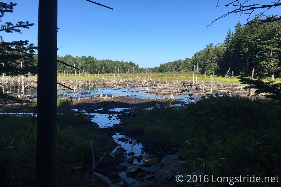
We took our first break after about 7.5 miles. So far, the trail's been very nice. There's been some rocks and mud, but nothing to the extent of the mud Vermont is supposedly famous for, probably because the region is going through a drought, and didn't get any snow last year.
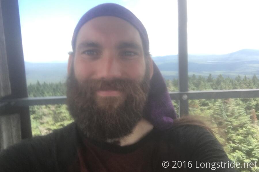
Rainbow is a retired fire fighter, who thru-hiked in 1988, is continuing his 2011 thru-hike from Pennsylvania, after he got off the trail after injuring his knee. He got his trail name in 1988, after needing a new base layer of clothing, and the only one available was rainbow-colored.
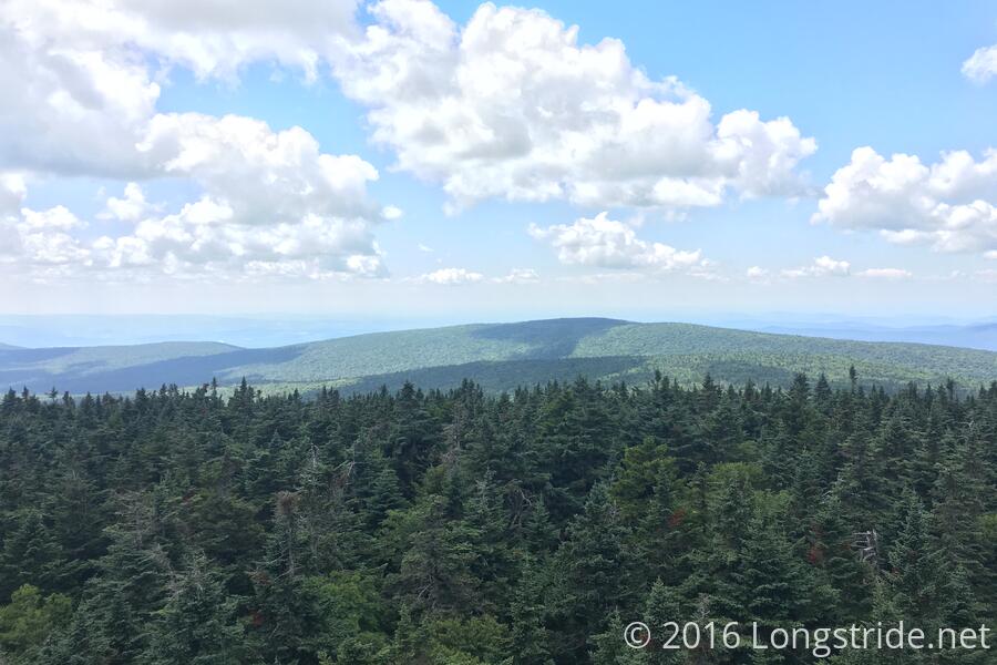
Around midday, we climbed the fire tower at Glastenbury Mountain, and then took our second break shortly afterwards at the Goddard Shelter. Rainbow remembers the shelter in 1988 as being a tiny four person dirt floor shelter with cables that ran over the top to hold it in place. Now, having been rebuilt in 2005, it's a much larger structure.
The trail was very nice most of the day, a few rocky and muddy sections aside. About an hour after leaving the shelter, we entered into a National Forest Wilderness, the first time in quite awhile. This again comes with the customary hang glider prohibition.
Rainbow and I finished around 6:45, and Papa Monkey was there to pick us up. Since it was late, I suggested we stop at a restaurant on our way back to the Stratton-Arlington Rd trailhead, so that we wouldn't have to cook. We wound up at North Star Bowl, a restaurant, ice cream stand, and bowling alley.
Vermont has road signs listing nearby attractions and the distances to them. Often, they show distances in tenths of miles, but as a fraction, so the text is tiny and hard to read from any distance. I think I recall seeing those signs on a family vacation years ago, but it surprises me they haven't changed it to be more readable in the many intervening years.
We made it back to the trailhead, and found the campsite just into the woods was already in use by hikers just now setting up. Our timing foiled again, we again camped in the parking lot. The weather this time was not looking so great: already, it was cool, and we could see our breath, so it was a high likelihood we'd have wet tents tomorrow from condensation.
The parking lot again made it difficult to use tent stakes, so I wound up collecting some heavy rocks and using those to hold my rainfly down appropriately so it wouldn't say on the tent body.
Tomorrow: A 17.5 mile hike to Manchester Center.