A long day brought us to a B&B in Ferryland.
As forecast, it was raining when I woke up at 6:30 this morning. We finally got up around 7:45, after the rain had stopped. The clouds cleared slightly, giving a little bit of blue sky, so owe hoped that would continue and we’d have a nice sunny day again like we did yesterday.
Shortly before we left, another couple hiking northbound briefly stopped by the cabin, hoping to finish the trail in another 11 days.
We quickly passed the Long Will Campsite that we were originally aiming for yesterday. We were very glad we stayed at the cabin; the campsite was just as much of a let-down as the last few official campsites had been.
A few minutes after passing the campsite, a light rain fell for a little while. It wouldn’t have been problematic, except that the trail for the next several kilometers campsite were overgrown with pines, and we got soaked just from residual water from the rain earlier this morning. At least the trail itself (when we could see it) was fine.
Around noon, we passed a nice clearing in the forest with a picnic bench. It was perhaps a little exposed, but we thought it’d make for good campsites. An ATV trail led off into the woods. It wasn’t shown on our map, but we guessed that perhaps it would short-circuit our long circuitous trail along the coast.
We continue to hike deeper into moose territory. We still haven’t seen one, but there’s been plenty of droppings, and lots of tracks in the soft dirt next to boardwalks.
Afternoon brought with it much better weather. The rain had long ended, and the sun was shining brightly. It became humid. As we gradually got closer to the end of the path, the trail seemed to be both less overgrown and a little easier to hike.
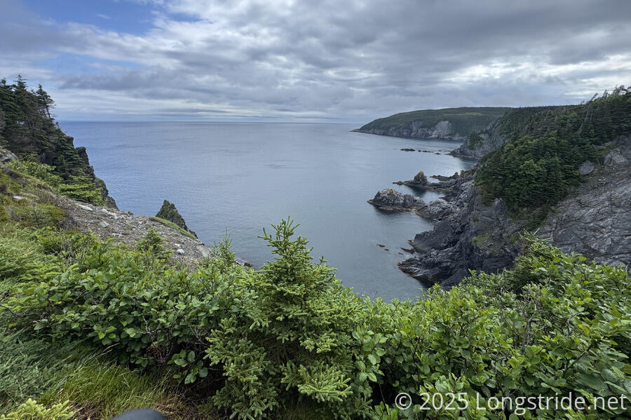
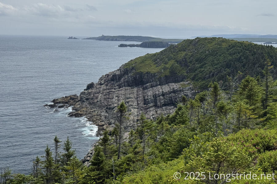
Rugged coastline became visible again; this time, deeply striated rocks on the coast quickly caught the eye. The striations continued across a gap of water to a small island beyond.
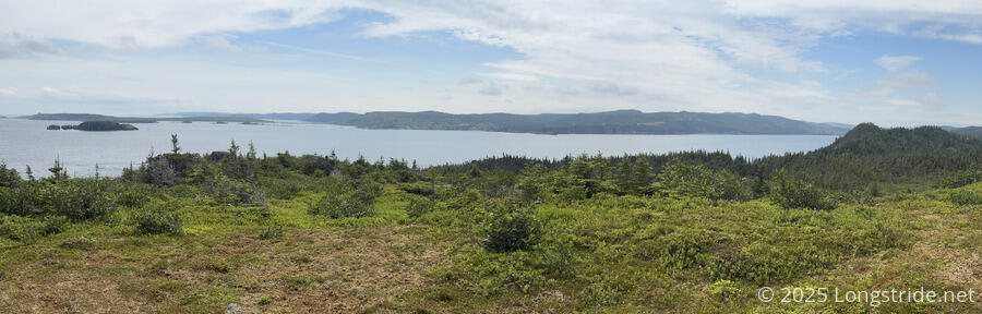
Now mid-afternoon, out of the forest and back high above the coast, CareFree lamented that we hadn’t seen any whales today. Almost immediately, I spotted spouts from two whales in Calvert Bay.
We stopped for a break in an exposed area next to the trail, with great views of Calvert Bay. With Foodland in Ferryland closing at 6 pm, and quite a long distance before the next reasonable campsite, we doubted we’d be able to make it to either at any reasonable time. We kind of expected to stay somewhere in Ferryland, but now we needed to actually find a place. Just as CareFree was on the phone with a B&B, a trio of women hiking a section of the trail hiked up from the south. We gave them some advice and told them what to expect, and based on what they told us, advised they should probably camp at the picnic table clearing we saw, since the cabin would almost certainly be too far for them. (It was almost 3 pm, and it’d taken us six hours to get as far as we did. Another six hours for them would be after sunset, even as late as sunset is here.)
Shortly after our break, we reached the end of the Cape Broyle Head Path, and began a community walk through Calvert. We passed an older guy out for a walk, and had a chat with him; apparently, his nephew owns the cabin we stayed at last night. Later, a woman driving past offered us a ride.
Our next section was the Caplin Bay Path, a 6 km “easy to moderate“ trail. Largely based in the space behind a community, and crossing the grounds of the Baltimore School, it was definitely a well-used trail, and (with one or two exceptions) quite well maintained.
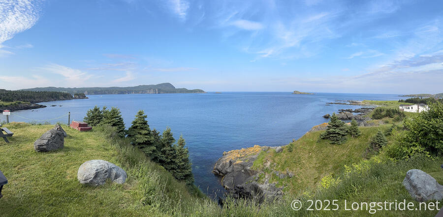
The trail ended us again on Highway 10. We quickly arrived at Kavanaugh’s Million Dollar View restaurant. Perched atop a cliff overlooking (yet another) Freshwater Cove and Ferryland Harbour, it was easily the best view I’ve had at a restaurant.
We gorged on burgers, fries, and dessert, and then made our way down Highway 10 to Dunn’s B&B. The woman who offered us a ride earlier in Calvert passed by again, and offered us another ride! Only a 15 minute walk from the B&B, we again declined.
The view from our room was almost as good as the view from the restaurant, overlooking a peninsula with a lighthouse.
We planned out the next section — three days to Cappahayden, the end of the trail. Having not been eating as much as I usually do on a hike, all I need to get tomorrow is a few snacks.
Tomorrow, after a long road walk due to having to skip a closed path, we’ll take the Spurwink Island Path, the last difficult path on the trail, to the next (and last) ECTA campsite on the trail.