A short day took us through Ferryland and Aquaforte, and started us on the Spurwink Island Path, as we begin our last stretch of the East Coast Trail.
Our B&B hosts were very chatty this morning (including performing two songs from one of their performances they do for charity), but I did learn something: Ferryland (then Avalon) and Maryland (my home state) are sister colonies, originally chartered to George Calvert, the First Baron Baltimore. Being Calvert’s second colony, Maryland’s state seal still reflects this: it contains two figures, a farmer (representing Maryland), and a fisherman (representing Avalon).
Being from Maryland, I did think it was odd there were the numerous references to Baltimore (including branding for a Baltimore Aircoil of Canada company in Calvert; the Baltimore School we walked past; and Highway 10 is signed Baltimore Drive here). Not to mention the name of the town Calvert. But it’s a little embarrassing that I didn’t draw the connection together on my own. Though in my defense, I probably learned that Ferryland/Avalon and Maryland were sister colonies in elementary school, and then never needed that information until now. I’m kind of surprised the highly distinctive coat of arms of Baltimore wasn’t apparent anywhere.
CareFree and I left the B&B shortly before ten, and it took us about 15 minutes to walk to the Foodland to do our final resupply on the East Coast Trail. When we were in sight of the Foodland, the guy we talked to yesterday near the exit of the Cape Broyle Head Path happened to drive past us, turned around, and asked if we needed a ride to anywhere! All the ride offers the last couple of days makes me pretty certain we’re not going to have much difficulty hitching back to St. John’s from Cappahayden.
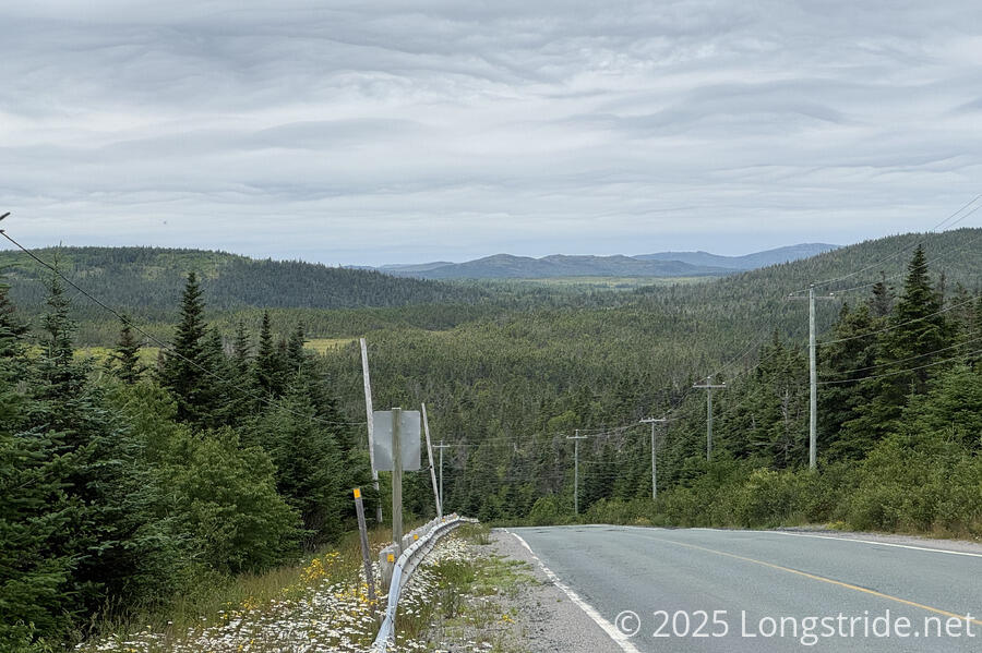
After a brief time at the Foodland, we continued our roadwalk. Because the next section, the Sounding Hills Path, is partially closed due to a land use dispute, we’re skipping the whole section entirely, walking along the road out of Ferryland and to and through the town of Aquaforte.
Unsurprisingly, while we were on Highway 10, we got another offer for a ride by a guy in a pickup truck.
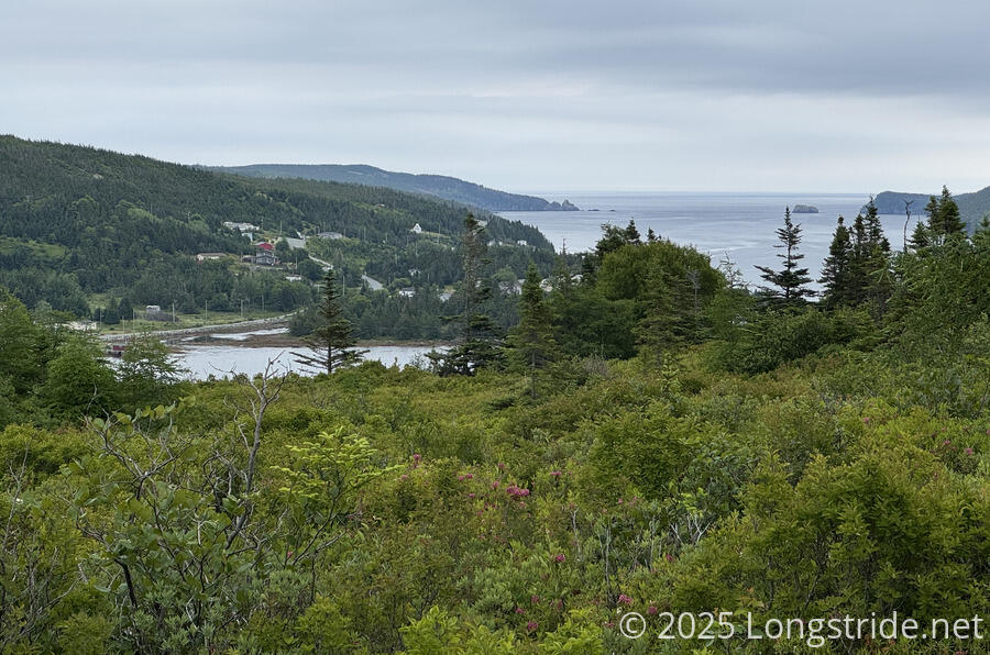
After a somewhat long walk down the highway, and then on to smaller roads in Aquaforte, we reached the Spurwink Island Path, another very long path (almost 20 km). The roadwalk wasn’t terribly exciting, but it was more scenic than most.
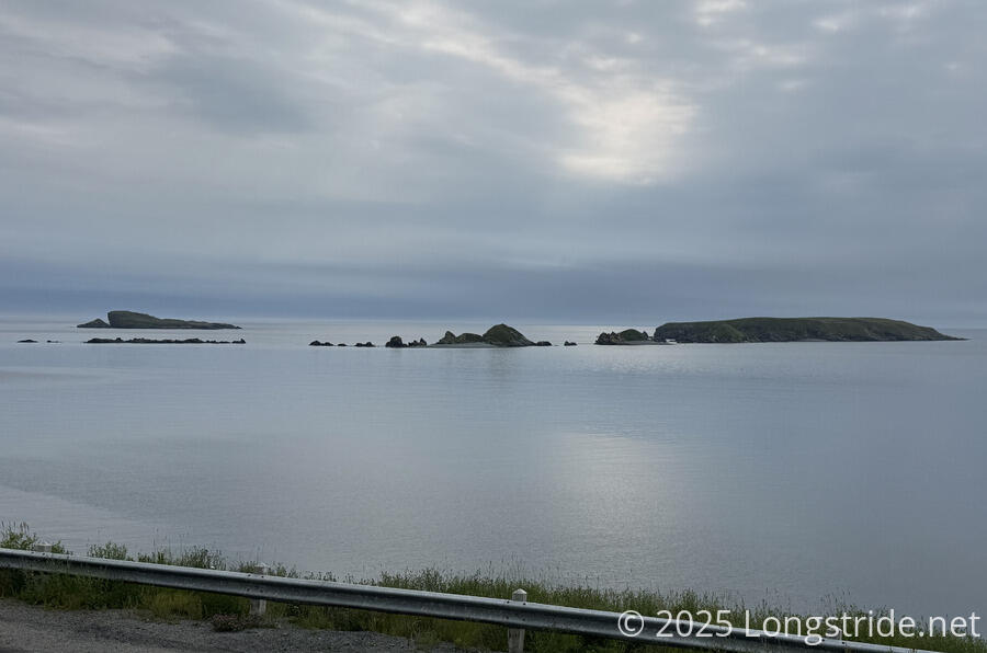
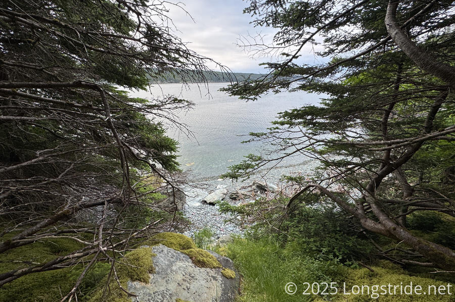
We stopped for a break next to the trail with a view of the head of Aquaforte Harbour.
The path took us along the harbor for a little while, then cut inland to climb a ridge above Little River, in order to go around it. (If the tide had been out, an anglers route may have been available to cut off a little more than a kilometer of view-less trail.)
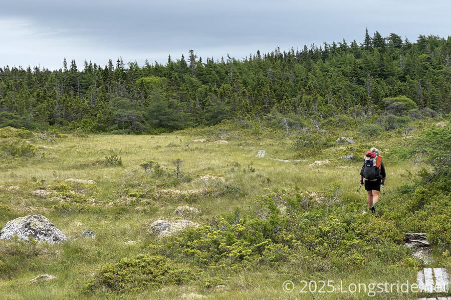
For the most part, this trail was fine to walk, not exactly easy, but not difficult. Only rarely was it overgrown, most notably at one place where the grasses were so dense we couldn’t even see there was a boardwalk we were supposed to be on instead!
After passing a possible campsite near the highway, we crossed the remains of what must have been an old road bridge across the Aquaforte River. From here, Cappahayden is only 19 km by road away. At any point in the next couple of days, when the trail brings us to the highway, we could decide to be done and roadwalk to the terminus that day. (Of course, we won’t; that’d defeat the whole point. But for especially the last few days, the trail’s length is greatly increased by following the very irregular coastline rather than taking anything resembling a direct route.)
Most of the rest of the day was through a mix of boggy areas, heathland, and pine forest with moss lining the trail. Though rough and rugged (and especially slippery) in some places, it continued to lack the overgrown pine trees from the last couple of days, which came as a great relief.
Shortly before 4, we reached a meadow with a campsite off to the side, in a clearing in the forest, with a creek flowing nearby. This is easily one of the best campsites we’ve seen on the ECT (and the only good one today). Though it was early, and the ECTA campsite we were aiming for is only another 3 km ahead, we decided this was good enough for today. The past few days have been long and difficult, and we needed an “easy” day. (Plus, the last couple of ECTA campsites have not been well maintained, and we didn’t want to risk the campsite not actually being suitable.)
We quickly got our tent up and set to relaxing. Around 6, we saw a couple of hikers emerge from across the creek, heading north. We wondered where they were planning on camping; the next good spot that we could recall was a few hours away.
The weather today pleasantly surprised us. A little rain was forecast for the afternoon, but even though it was cloudy all day, we got no rain at all. And the forecast for the next three days shows there shouldn’t be any rain at all, so that’s even better.
My knees are surprisingly achy now; usually it’s been my feet that cry out in agony after a rough day. Hopefully, that’s nothing a good nights sleep won’t cure.
Tomorrow we hope the Spurwink Island Path continues to be as agreeable as it has been so far, and plan roughly another 20 - 25 km. Ideally, we’ll have just two more full days of hiking to get to the end of the trail!