A warm, spring day made for perfect weather for a return to Patapsco Valley State Park. Today’s hike, following trails that connect the Pickall, Daniels, and Woodstock areas of the park was almost a maze of unnamed (and incompletely mapped) trails, but still made for a fun excursion.
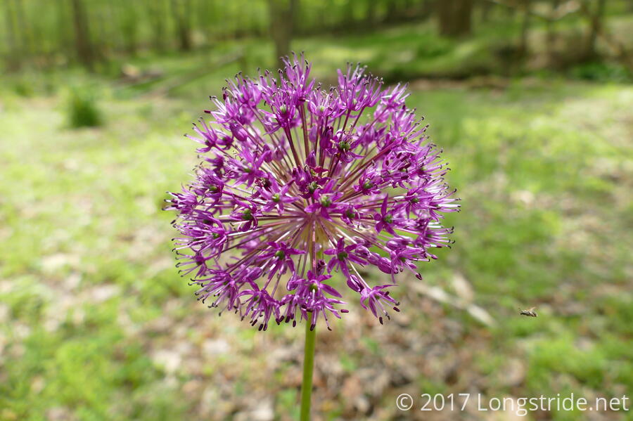
Starting off at a parking area on Old Frederick Road, near the Pickall Area, on the south side of the river (and railroad tracks), I followed the trail as it followed the river, north, and then west. Recent rain, including a few drizzles this morning, made for a lush, green forest, and the warm morning air was humid — at least, just enough to be noticeable. To a great extent, the forest floor was covered in greenery, much of it in bloom.
Early in the day, I happened upon a chipmunk sitting on a fallen log, its friend hiding in the hollow of a tree.


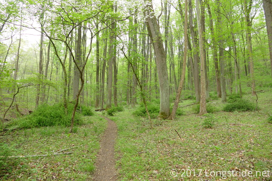
After about a mile or so, the trail began to branch repeatedly, some of the branches not on the park’s trail maps, which made it somewhat more difficult to determine which trails I meant to take. Still, I continued on, crossing a fire road, and eventually making a wrong turn that added nearly a mile to the hike, through a not especially interesting area of the forest. Had I gone the direction I’d intended, the trail would have left me behind a church and near Daniels Dam.
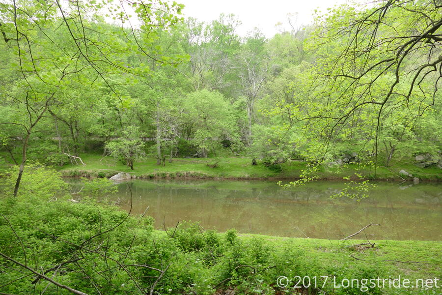
Eventually, the trail led me to Daniels Road, which I followed a short distance to another trail that re-entered the woods, near a parking area and boat launch. Boating is allowed on a four mile stretch of the river north of the Daniels Dam, and there were several people out on the river in kayaks this afternoon, some of them fishing.
I quickly found my target: the Old Main Line, a nearly flat section of trail formed from the disused railbed of an older alignment of the railroad that passes through the park. (The new alignment, to the north, is straighter, and several feet higher in elevation, to protect from the river’s floods.) The Old Main Line trail provided some great views, and the park really could do with a few benches in choice spots.
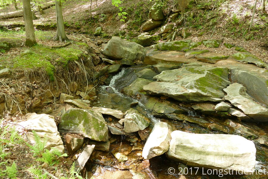
I followed the Old Main Line until I reached the railroad crossing from my hike in the Woodstock Area in January, at which point, I turned back and, at first opportunity, took a trail that followed a higher path through the woods. After about six miles, I found a nice little waterfall, and took a short snack break.
As I continued to follow this path back, I somehow missed a turn, and the trail led me out of the park. With the day becoming warmer, and the overcast skies from this morning giving way to the sun, I didn’t have a desire to backtrack. Fortunately, the ground cover in the forest was very low (presumably significantly grazed on by deer, of which I saw several), and it looked as though I was not the only person to have this idea: a faint herd path was visible heading up the hill in the rough direction of the trail I wanted to be on. After just a few minutes of climbing up and over relatively steep hill, I found the trail, and continued along.
This trail eventually rejoined with the Old Main Line, which I followed about halfway back until another opportunity for a different path presented itself. This part of the trail really was somewhat of a labyrinth, with quite a few turns and branches not reflected on my map. Eventually, I made it back to the boat launch parking.
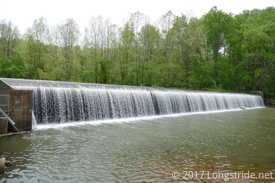
From here, a bit of exploration ensued. A brief walk along Daniels Road brought me to the dam, one of the last on the Patapsco River. (The other is Bloede’s Dam, scheduled to be removed this year.) Just downstream of the dam, sunbathers and anglers took advantage of a nice Saturday afternoon.
Continuing to follow Daniels Road led me to an historic church which, situated high on a hill, saved it from flooding caused by Hurricane Agnes in 1972. Behind the church, I found what seemed to be the trail I had been intending to be on earlier. However, the trail quickly became ill-defined. Eventually, I resorted again to bushwhacking, heading roughly in the direction I wanted, but heading downhill too quickly, causing me to eventually run into the trail that led me to Daniels Road the first time.
From there, it was a short walk back to the fire road I passed earlier. I opted to skip one turn, in favor of a slightly shorter hike that involved leaving the trail and following a pair of power line clearings. An unexpected “no trespassing” sign (which didn’t seem to make sense given the map and actual position of the trail) forced a final round of bushwhacking down a steep hill into to the middle of the trail I was attempting to join.
From there, it was an otherwise uneventful hike back to the parking area I started at. To prevent having to retrace the first bit of my hike, I instead followed the railroad tracks, which provided me a clear view of the river and the trail on the other side.
Today’s hike involved a surprising amount of “adventure”, but it was still a great day, and, now that I know where (some of) the trails are, I could easily revisit the Daniels Area in particular and take on a whole new set of trails.