One last day on the Massanutten Trail brought us back to the Signal Knob Trailhead, where we started five days ago.
CareFree and I left the Mudhole Gap campsite, continuing to follow the trail north on a gravel forest road in the valley between Three Top and Green Mountains, heading to Signal Knob, located at the northwestern extent of the Massanutten Range. It was nice and sunny out, the sky mostly clear, save for some fairly thin clouds.
The walk up the forest road went fairly quickly. Passing the Strasburg Reservoir, the trail temporarily diverted from the road, passing above the reservoir. A nice campsite set just below the trail, on the dam’s berm. Shortly after, we crossed the Tuscarora Trail for the last time, and the forest road began to get steeper as it traveled up the valley’s headwall.
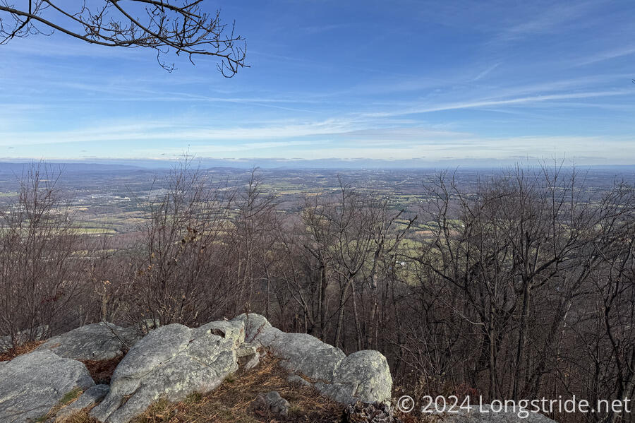
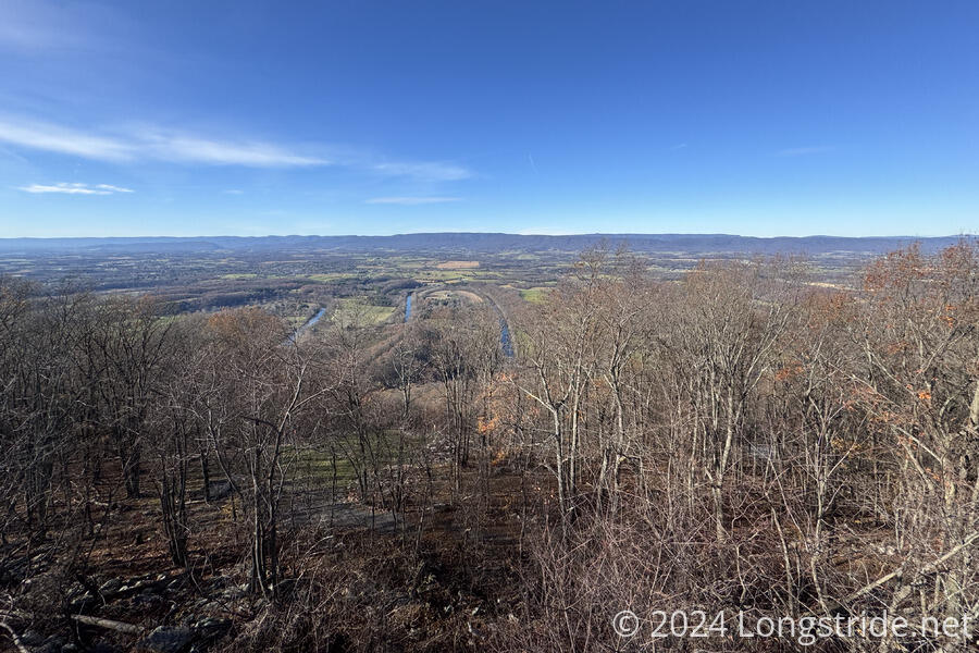
At the ridge, the trail briefly diverted from the road, now an access road for a radio tower, to a fantastic overlook of the Shenandoah Valley to the north. We could see both the Great North Mountain, as well as the Shenandoah ridge, and the valley stretching off into the distant haze.
After a snack break to take in the view, we continued to follow the trail, past the end of the road, roughly along the ridge heading east. The trail quickly became rocky and rugged. We passed one day-hiker, only the second hiker we’d seen since we started the trail five days ago.
About half an hour later, we passed the Meneka Peak Trail, which leads to Meneka Peak, about half a mile away, and further down the ridge to intersect with the Tuscarora. It was still “relatively” early in the day, but an extra mile of out-and-back to tag the peak would cut into our daylight for retrieving our caches.
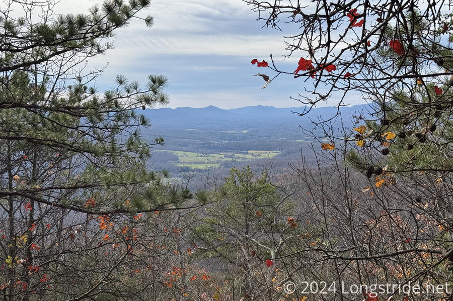
We continued east along the ridge, passing a few very nice large flat campsites in a relatively less-rocky area. After the campsites, the trail began its gradual descent off the mountain. At one clearing, we got a nice view into Fort Valley from the north.
The descent off the ridge brought the tail through an incredibly rocky area, including a couple stretches that were short boulder piles. This was fine, except that about two miles from the trailhead, I made a bad step on a rock while CareFree and I were having an animated conversation, and sprained my ankle yet again. We stopped for about ten minutes to let the adrenaline burn off, and then we continued slowly and silently, my focus being on making it back to the car without further injuring myself. Basically the rest of the hike was me staring at the ground making sure I didn’t make another bad step on a rock, so if there were any other views, I sadly missed them.
As we got closer to the parking lot, we passed three more hikers and two dogs on their way up to Signal Knob, more hikers at one time than we’d seen since we set foot on the trail.
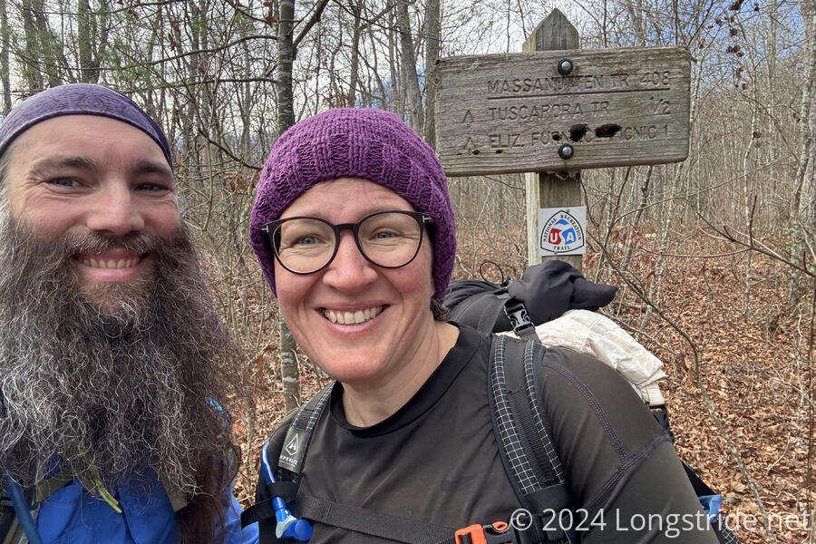
Fortunately, as we dropped lower in elevation and got closer to the trailhead, the trail gradually got less rugged. Those last two miles took just over an hour — a surprising pace given how slow I felt I was going, and even CareFree commented she was surprised at how quickly I was going. I guess I was just ready to be done. So I was quite relieved when the trail leveled off, rounded a bend, and passed behind the parking lot, closing our loop back at the sign we started at five days ago.
We had one surprise waiting for us once we returned to the car: a mouse had gotten into the trunk and nibbled on some trash we left there. It seemed to have also chewed into one of the seats to pull out stuffing to make a nest in the spare tire well. Annoying. (And avoidable; we should have sought out someplace to throw away our trash. We didn’t realize it at the time, but the restroom at the Elizabeth Furnace Campground had a trash can.) But at least the soda bottles and the extra gallon of water didn’t freeze through and broken open.
As planned yesterday, we drove back to Woodstock Tower to take in the view, and then returned, in reverse order, to pick up our caches, finishing up an hour before sunset.
And with that, our hike of the Massanutten Trail came to a close. Overall, a nice six day loop through the mountains in western Virginia, with still more to explore: there’s several more trails and peaks we could visit, and the loop only covers the north half of the Massanutten Range, around Fort Valley. There’s still the southern half of the range to explore. Perhaps some other time, when it’s not so cold out!


