Despite occasional drizzles overnight, our tent remained dry, thanks to our ridge-top campsite. In the Shenandoah Valley to the east, fog (or possibly smoke) blanketed the valley. It was generally overcast, with occasional breaks of blue sky. Not bad for our first night on the trail.
With a somewhat long day planned (over 15 miles, which isn’t really that long of a day, except there’s limited daylight and I’m not really in hiking shape at the moment), CareFree and I managed to be somewhat efficient this morning, leaving camp around 7:30 am. Assisting our departure was a weather forecast calling for heavy rain around 5 pm as a cold front begins to blow in, so we wanted to be done hiking and in our tent by then.
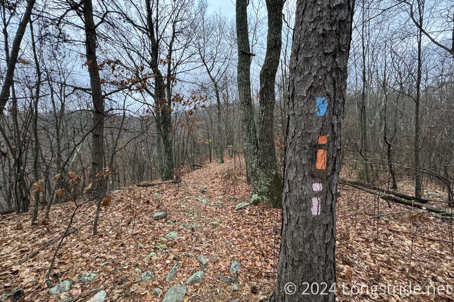
Continuing from yesterday, we followed the trail on the ridge south, along the eastern ridge of the Massanutten Range. Briefly, three trails — the Massanutten and Tuscarora, as well as the Sherman Gap Trail — coincided, resulting in a few trees with three colorful blazes.
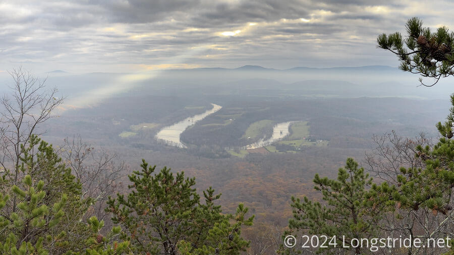
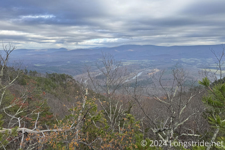
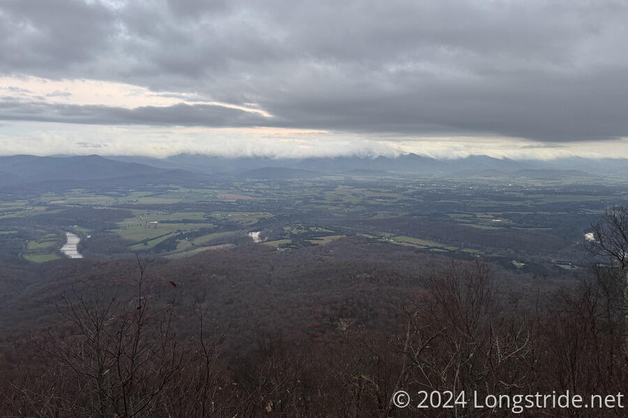
The best view of the day (and the one I was most looking forward to) came about half an hour after we started, as the trees cleared to reveal “The Point”, one of many prominent bends in the Shenandoah River. In contrast to the lush green forest surrounding the river when I was here on the Tuscarora Trail in 2020, the view was draped in browns and yellows, with smoke and early morning fog blanketing the valley. A small break in the clouds gave the effect of a searchlight beam on the forest.
Shortly after the view, the trail dropped us off the ridge and across a dry stream bed, leading us down the valley between Little Crease Mountain and Massanutten Mountain, towards Veach Gap and Little Crease Shelter. Initially rocky, the trail gradually mellowed out as we went further down the valley.
At Little Crease Shelter, we stopped for about an hour, collecting and filtering plenty of water for the rest of the day — the creek near the shelter would be our last water source until our water cache tomorrow morning. I left the shelter weighed down with five liters of water.
Our main climb of the day started when we left Little Crease Shelter, following Morgans Road back up to the Massanutten Ridge. Morgans Road, as described before, was originally built under orders from George Washington to allow his revolutionary army to retreat into Fort Valley should the tide turn against him. Now, the road is somewhat more rough, degraded to “only” being a wide hiking trail, but it still made for a relatively easy (if still moderately steep) climb back up to the ridge.
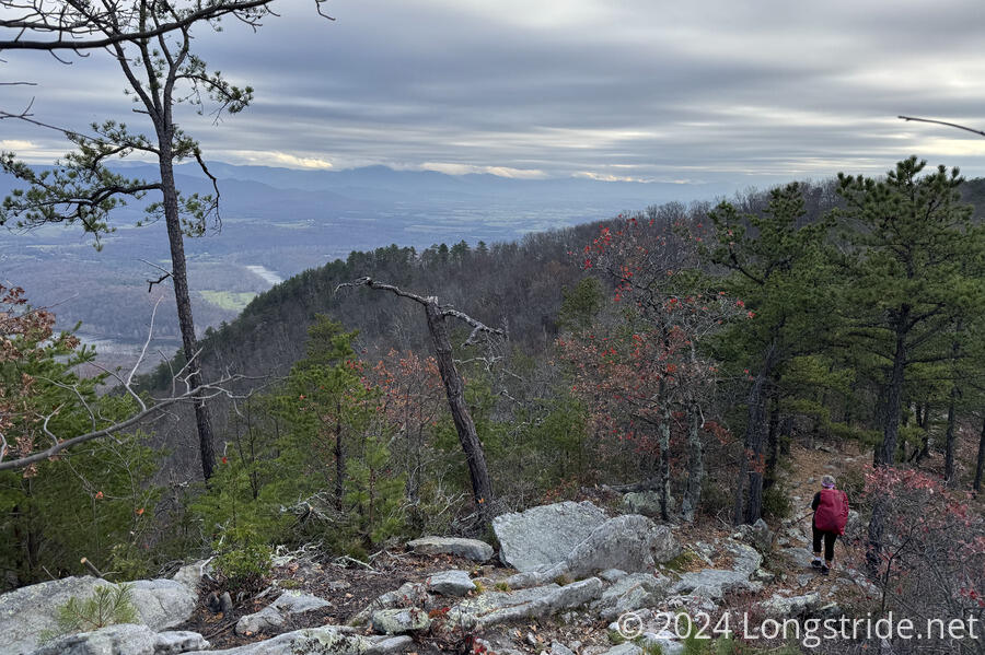
For the rest of the day, the trail bobbed up and down the ridge, generally increasing in elevation as we headed towards Kennedy Peak. CareFree kept us on a somewhat hurried pace on account of the rain forecast for just after sunset. The slowest part of the day was along the “Billy Goat” stretch, where the trail dropped off the ridge onto a narrow, rocky trail for about half a mile to be further away from private property.
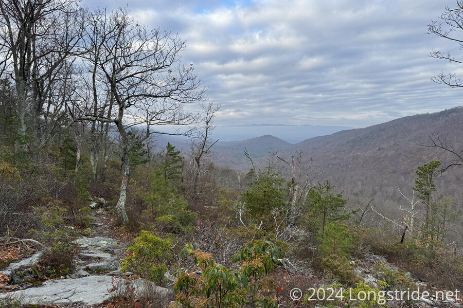
Otherwise, the trail was generally on the ridge, and we had usually good views to either or both the Shenandoah Valley and Fort Valley, though the views to Fort Valley were more often obscured by fog.
We departed from the Massanutten Trail just a minute before sunset, following a steep trail up to Kennedy Peak, and the observation platform and a very basic shelter there. We’d hoped there would be no one else there — which seemed likely since we didn’t see anyone else at all today — since we planned on camping in the shelter under the observation platform.
Thanks to the drop down and climb back up from Little Crease Shelter, and the generally bouncing walk along the ridge, we gained more than 3,500 feet of elevation today (and also had nearly as much downhill). This, plus the weight of the water I was carrying to be able to cook dinner tonight, left me very tired and sluggish as I made the final climb up to Kennedy Peak. Once I got to the top, a few minutes after sunset, I still had an excellent view out over the valley. Not bad for a first full day of hiking on the Massanutten Trail!
We cooked dinner, which was pretty essential since we didn’t cook last night and needed the energy, especially after a long day today and an expected cold day tomorrow. Since we only had the water we carried all day from Little Crease Shelter, though, I didn’t really have enough to cook my full dinner (a box of macaroni and cheese, and a packet of ramen), so I didn’t have the ramen tonight. I made up for that, though, with an extra snack.
We’d initially planned on cowboy camping in the shelter underneath the observation platform, but with the cold front already blowing in, we opted to set our tent up inside the shelter to help keep us warmer. This turned out to be quite beneficial once the rain started: the shelter area wasn’t waterproof from the observation platform above, and rainwater leaked through, pouring directly on the middle of our tent and our shoes and packs got wet.
Although it’ll be colder tomorrow, we should have an easier day, just over twelve miles to our food and water cache at Crisman Hollow Road.

