A quiet and occasionally rainy day brought us in to Ouse, the next town on the trail.
It rained a couple times overnight, with varying intensities. Although it didn’t rain particularly hard, the metal roof over the shelter significantly amplified the sound of the rain. By morning, the rain had stopped, though it was overcast, with fog over trees in the distance.
We left the campsite shortly after 8, a little earlier than yesterday. The cyclist was still there, but the two horse riders were long gone.
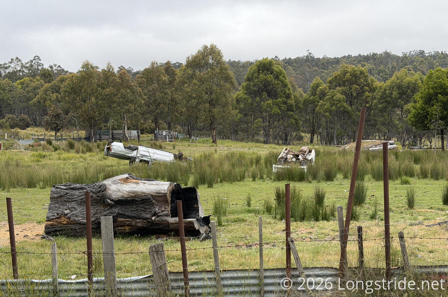
We continued following Victoria Valley Road, passing a few homes, one of which had a small junkyard — a couple of upside down, rusted out trucks.
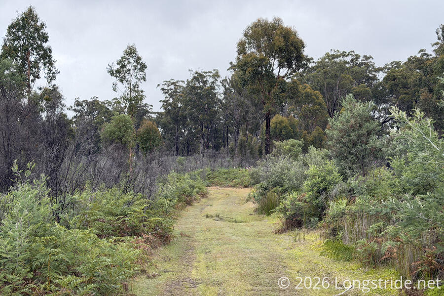
We departed the road to take a smaller dirt road past the trailhead to a pair of waterfalls. With rain forecast, we opted to skip the short side-trail to the falls, instead hoping to get as far as possible before rain started.
This road was clearly not used very frequently. A portion of it was overtaken by grasses, which made for a softer walk than the dirt road itself.
We stopped for a short break at an intersection with some sort of service road not on our maps, then carried on as the trail took us alongside a pine plantation.
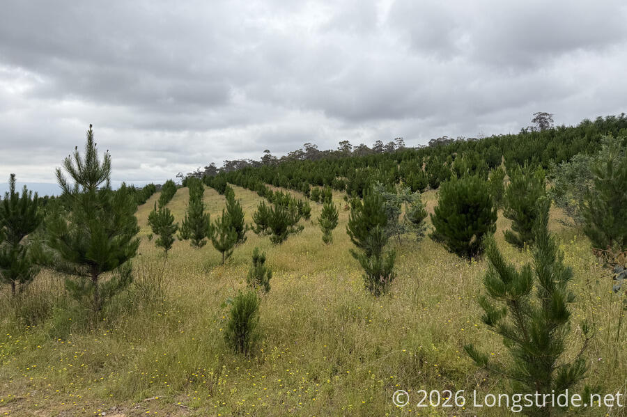
For most of the day, we dropped downhill, clearly departing the Central Plateau. The steepest part was just after the pine plantation, as the road became a bit rougher and thunder rumbled through the trees. We briefly stopped to put on our pack covers as rain started to fall. Fortunately, the rain didn’t last very long, maybe only ten minutes. The clouds seemed to be blowing north, to where we came from, so it seemed like we got a little lucky there.
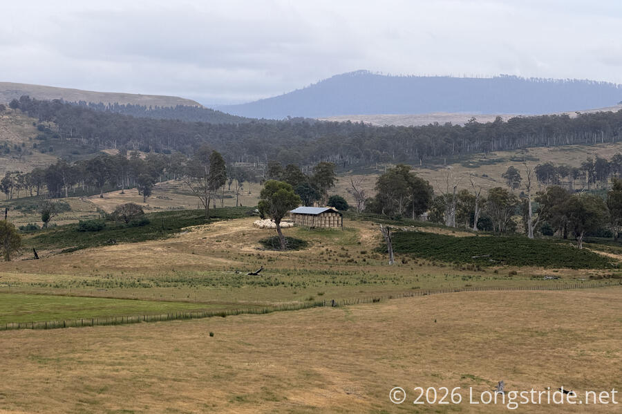
Once we got out of the pine plantation and joined a “larger” road, we’d shed most of the elevation we’d gained from climbing up to the Central Plateau. (We started today at just over 600 meters at our campsite, and were under 200 meters leaving the plantation. Ouse is at 88 meters.) The lower elevation brought us to more farmland. Off in the distance, lower in the valley, we saw a large open storage shed filled with bales of hay.
The larger road we were on brought with it more traffic, which was a little annoying when we were trying to find a place for another break. We were able to find a place along a bend that got us far enough from the travel lanes.
While we had our snack, the two horse riders came by, walking their horses. They’d planned on a different route back to Ouse, but there was too much road traffic on their planned route, making for unsafe conditions with their horses, so they looped around to take smaller roads.
With the horses, we let them get a safe distance ahead of us before we continued. Once we started again, it didn’t take long before there was more thunder and rain. The rain was quite cold, so we were fortunate it didn’t last very long.
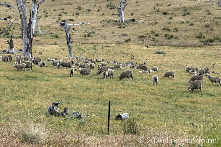
We passed both sheep and cow farms. Naturally, the sheep were mostly skittish (and the cows as well).
Eventually, we rejoined Victoria Valley Road, now paved, and passed the two horse riders, who’d stopped at the intersection.
Rain picked up briefly, stronger than it had been earlier. A small flack of parrots gathered atop a tree, its branches stripped of its leaves.

Shortly after 2 pm, we reached the Ouse Roadhouse, and went inside to get lunch. We got burgers and chips; they were quite good. Shortly before we left, the two horseback riders also came in (sans horses) for some food as well.
Just down the road was the Lachlan Hotel, our lodging for the evening. (The official campsite for the section was in a field down a road across from the hotel. If we hadn’t already booked a room at the hotel yesterday, today’s weather would have put us in the hotel anyway.)
Across the street from the hotel was an IGA, which we made use of for a three-day resupply to New Norfolk, our next town stop.
We also took care of some other planning chores. We’d already confirmed permission to camp at tomorrow’s campsite, but we still had yet to successfully get in contact with the landowner of the land just after. Still with no success calling the number provided in the guidebook, I called the the Derwent Valley trail coordinator, who was able to confirm that the number in the guidebook was incorrect (!!) and got me the landowner’s correct phone number, after which we very quickly got permission to walk through his property.
The section of trail after New Norfolk to the next campsite in Judbury is 40 km, with not a small amount of elevation gain, so I also asked the trail coordinator if they knew of any unofficial campsites along the way we could use to cut the distance. They said there weren’t any, but we could camp at one of their properties in Lachlan, about 9 km past New Norfolk. It’d be a very short day, but it’d be more than enough to cut the day after down to a more reasonable distance.
The rest of the evening was uneventful. Showers were great, of course. Dinner was some nice, simple sandwiches made from ingredients from the grocery store. It rained on and off a few times, confirming it was a good idea to stay indoors.
Tomorrow, the weather’s not looking to be amazing either, and we do have one decision to make: we’ll have to ford the Broad River. Probably it won’t be a problem, but there is an alternate route (on roads, of course) we can take if the water level is high. But, we’ll figure that out tomorrow.