A short day took us to Arthurs Lake, another recreational water reservoir for hydroelectric power generation on Tasmania’s Central Plateau.
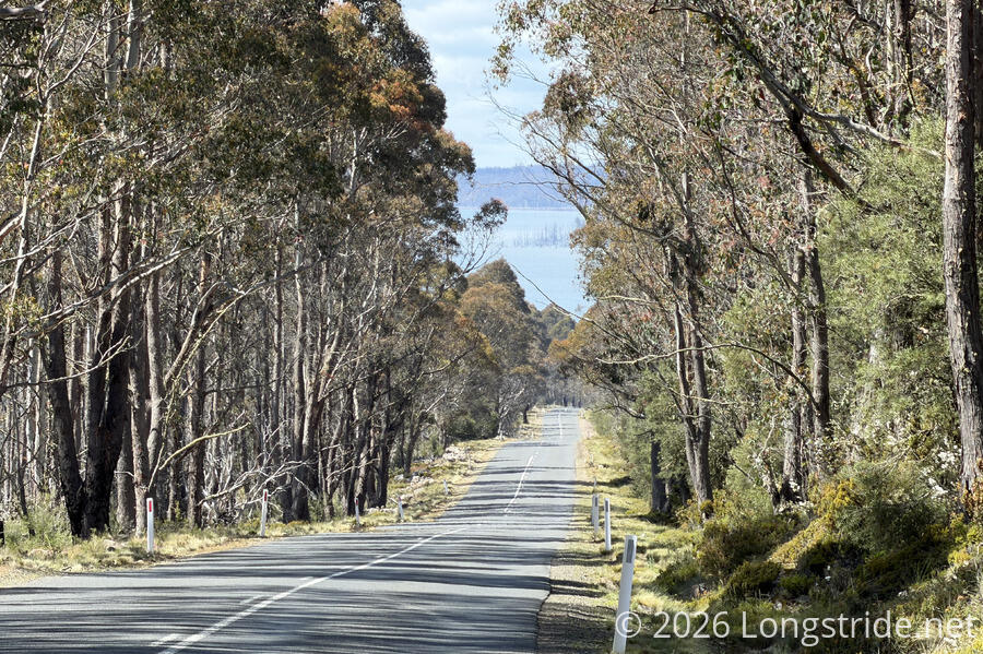
As planned, CareFree and I got up early and were hiking before 7:30. It was cool (though warmer than we expected) and cloudy, though not foggy where we were.

As we hoped, there wasn’t much traffic on the highway; in fact, it took nearly an hour before we saw our first car!
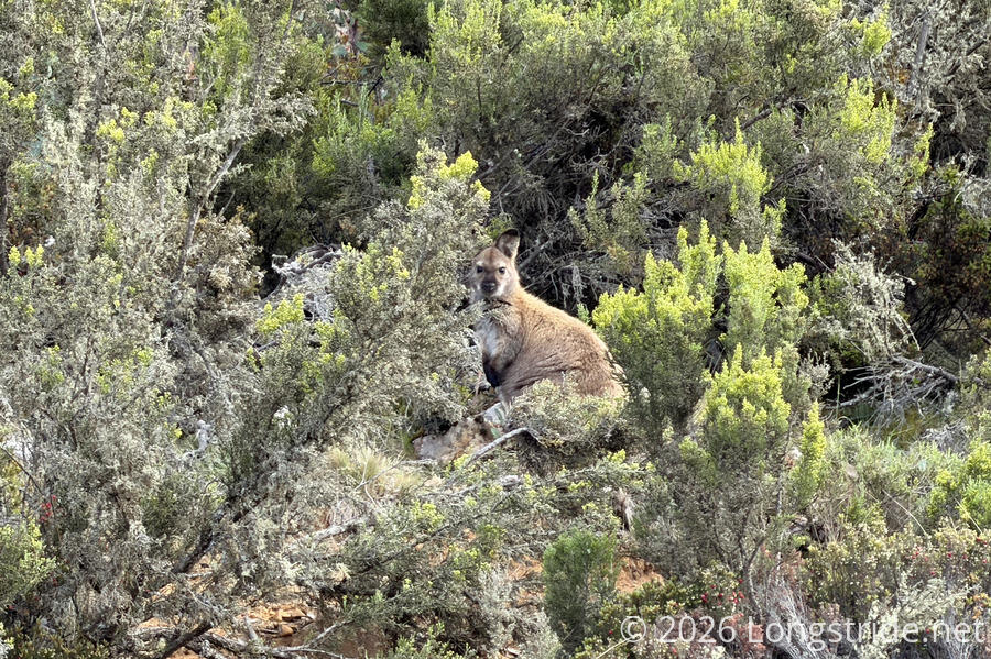
Less traffic meant more wildlife; we saw a few wallabies in the bush off the side of the road.
While not exactly litter-free, the roads we’ve walked in Tasmania so far have not had very much trash on them. Which is why we were doubly-surprised when we found an iPhone on the side of the road. Out of charge, it had clearly been there for some time. We picked it up, figuring that when we got to Miena tomorrow, we’d be able to do something with it to help reunite it with its owner.
With our early start, and the clouds that slowly lifted as the morning progressed, we made quick progress this morning, getting almost halfway to Arthurs Lake in just two hours.
We passed two bikepackers heading the way we came from. They weren’t doing the Tasmanian Trail, but it was nice to see someone else out here that wasn’t in a car.
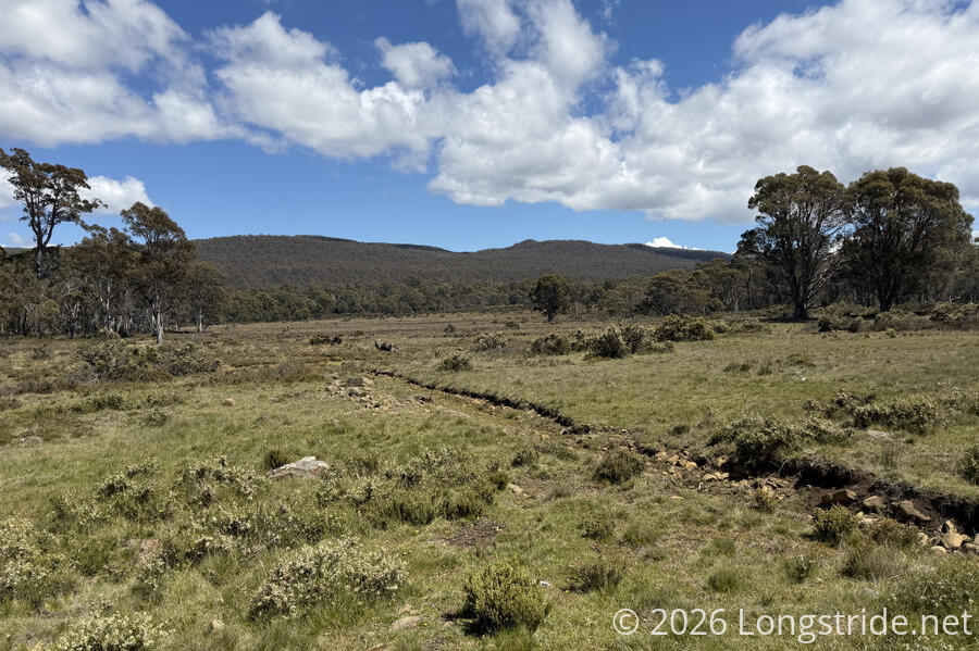
Eventually, we turned off the highway and on to a dirt road that was an access road to a very dispersed car campground. Turning off that, onto an access road for power lines, we cut across the bush for the first time today, finally losing the tree cover that kept us shaded much of the morning.
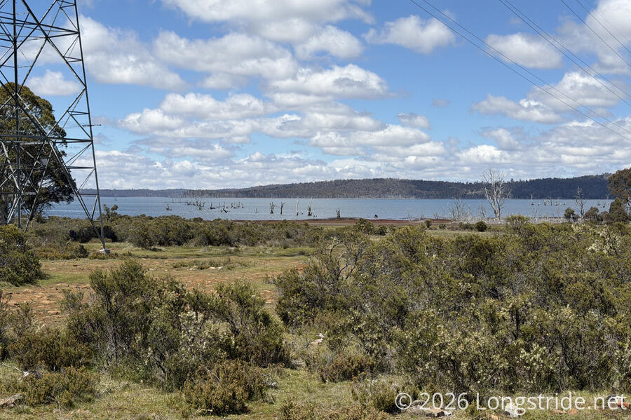
Now closer to Arthurs Lake, we could see evidence of its role in power generation. Arthurs Lake is used to pump additional water uphill into Yingina / Great Lake, where it can be used for generation in the Poatina Power Station. A stand of trees in the Arthurs Lake, now leafless and bleached-white, were drowned by the addition of dams to increase the lake’s volume and water level.
After crossing a creek, the power line access road became very rough gravel, and was somewhat annoying and tiring to walk on.
This rough trail brought us to the Arthurs Lake Pumphouse Bay Campground, a primarily car campground located a short distance away from the pumphouse on the lake.
The trail notes said that a small fee was due for the campground, payable at the Arthurs Lake Roadhouse, about a kilometer down the road. Before going there to pay, we wanted to check out the campground to see what we were getting first. (Not that we really had much choice in the matter.)
The campground seemed nice, and had toilets and water from a rainwater tank. It also had showers, but the showers were being redone, and weren’t ready for use yet. (Among other things, none of the plumbing was installed.)
On our way out, we ran into two cyclists who were stopping for a break. They were cycling the Tasmanian Traverse, a cycling trail from Launceston to Hobart, having started in Launceston yesterday (about 80 km away).
Not wanting to add to our roadwalk today, we opted to cross a small bridge over the penstock for transporting water to Great Lake, and walked along the lake shore, heading directly to the small town of Flintstone, originally built to house workers on the hydroelectric infrastructure here. We initially followed a path, which seemed to fizzle out, leaving us to make our own path through the slightly waterlogged ground near the lake. Turning away from the lake to get to drier ground, we picked up the trail again and followed it the rest of the way to Flintstone.
On the outskirts of the town, we chatted with three residents, mainly to confirm the roadhouse was up the road. (They also confirmed my feeling that they had cheeseburgers.). We mentioned we still had yet to see a Tasmanian devil, the last iconic Australian animal we haven’t yet seen. They said we’d be very lucky to see a devil, but we might hear them at night. (And that we’d know it when we do; apparently they have a screeching noise that sounds like someone getting murdered, not unlike the description I’ve heard for a cougar’s call.)
The Arthurs Lake Roadhouse had great burgers (and we also got our customary soda and ice cream). They told us we could camp anywhere in the day-use section of the campground, near the picnic shelters and grills, and to ignore the prominent “No Camping” sign.
Already there when we arrived was a cyclist from Italy, cycling from Hobart to Launceston (240 km) in one day. As we were leaving, another couple doing the Tasmanian Traverse arrived.
Rather than walk back through Flintstone and along the lake again, we opted to just take Poatina Road back to the entrance to the campground. It was a little longer, but probably took about the same time.
The day-use area was covered in wallaby droppings, both on the ground, and on the picnic benches and tables under the shelters. Clearly, the area wasn’t used very frequently. Finding a flat spot that didn’t also have wallaby droppings was a little challenging, but we made it work, and got our tent set up. Still only mid-afternoon, I opted to take a short nap.
We had a bit of a late dinner, given we had a larger than usual lunch at the roadhouse. A light rain started as we were finishing up. For the next couple of hours, there was some more rain, on and off, and our rainfly again was filled with mosquitoes and other insects.
Tomorrow, another “short” 22-km day will bring us to Miena, where we’ll pick up the resupply box we sent from Latrobe, and take a day of rest, since it’s been over a week since our last break.