Our last day on the Tasmanian Trail brought us to its southern terminus in Dover.
The Kermandie Hotel had a nice continental breakfast, which we took advantage of. Once we were done, we walked across the street to the “bus stop” a few minutes before our bus arrived. Less than ten minutes later, CareFree and I were back in Geeveston, and set off down the road towards Dover. We had a brief stop at a platypus viewing platform just on the edge of the center of town, and though we could see evidence of their burrows on the banks of a creek, we didn’t see any of the elusive animals.
A sign on the road said Dover was 22 km away down the A6 motorway, a fair bit shorter than the 34 km the trail had planned for us. But 22 km would be the all-main-road route, and if we could avoid walking on asphalt, our feet would be happier even with the longer distance.
We turned off the main road at a demonstration Bailey Bridge over a small creek, a plaque describing it as an early prototype of a portable, prefabricated truss bridge. The bridge felt weirdly placed, but it did serve as a convenient pedestrian crossing that bridged the gap between the ending sidewalk next to the main road and the quiet secondary road.
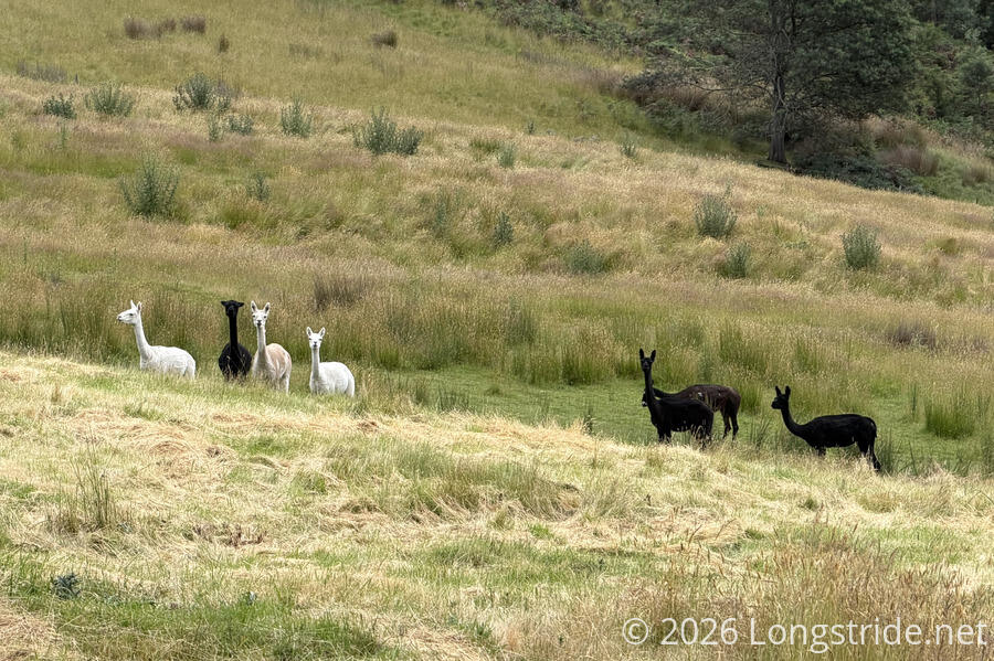
We followed the secondary road past the homes and farms on the rural outskirts of Geeveston. The pavement soon ended, and a dirt road took us towards the hills south of town, past several farms, including our last alpacas and pigs of the trail.
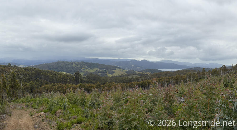
A rather steep (for roads on the Tasmanian Trail) climb took us into tree plantations on the hills, occasionally giving us nice, if cloudy, views back to Geeveston and Port Huon, particularly near the first high point of the day, nearing a clearing in the plantation.
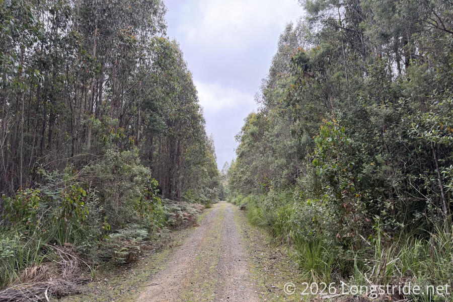
A series of several roads, obviously made for forestry purposes, took us steeply down, and then back up. The sky continued to be gloomy, and for a short while, a light drizzle fell.
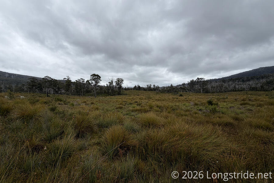
Unexpectedly, the dirt road became sandy, the result of traveling over slowly disintegrating sandstone. This took us through oddly-named “Swearing Bobs Plain”, a flattish, though not quite level clearing in the trees, filled with thick grasses.
The sand, coupled with a rougher stretch of road due to erosion from bikes or atvs, was tiring, and slowed us down a bit as we neared the top of the second high point of the day.
After we crested that hill, though, dirt returned, and the clouds started to break, with some blue sky in the distance.
We passed a burn notice for fuel reduction, dated for the spring of 2024, well over a year ago. One side of the road did look like it may have been cleared out a bit, but the other side looked incredibly dense and messy, definitely not the subject of any sort of fuel reduction.
We continued to zig-zag our way through the forest for several more hours. Humidity in the air began to rise, and mosquitoes began hanging in the air. Fortunately, they seemed to have no interest in us, floating away as we walked through them.
About two and a half hours out of Dover, the two cyclists we met yesterday morning in Judbury cycled past, much later in the day than we’d expected.
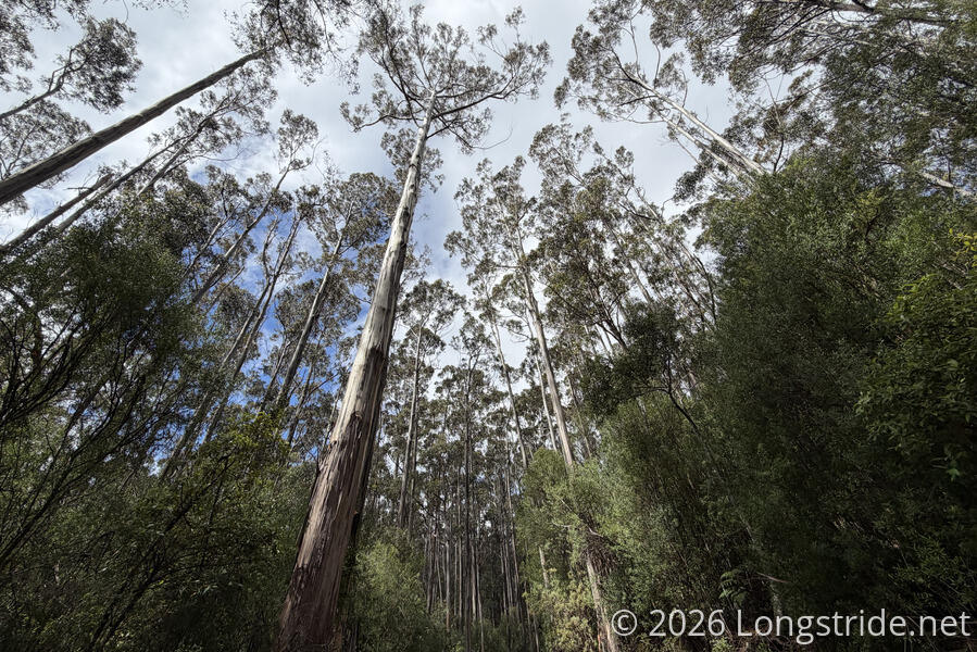
As the afternoon progressed, the sun started to come out and the clouds began to diminish, replacing the gloomy forest with something much more lively and colorful. Near the third and last high point of the day, we passed a stand of very tall trees on either side of the road.
Unintentionally, we took our last break of the day just before we exited the forest. It was, basically, the perfect spot for a break. Not even five minutes after we resumed, we were passing by houses and farmland on the outskirts of Dover.
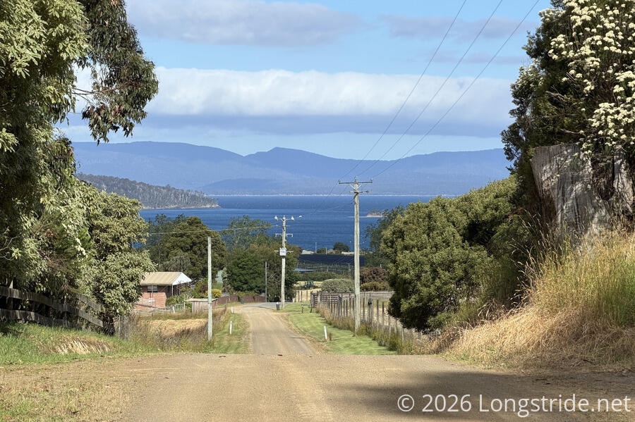
Our last climb of the trail brought us to just over 330 meters, then over the course of 9 km, dropped us back down to sea level. Although I’d like to say the last time the trail was that close to sea level was Latrobe, the bridge over the Derwent on the way into New Norfolk was actually slightly closer to sea level. Either way, as we approached town, we got our first good view of Port Esperance, the sheltered bay at the mouth of the Esperance River. (The bay is off the D’Entrecasteaux Channel, which separates Tasmania from Bruny Island and connects the Derwent and Huon estuaries with the Tasman Sea. So alas, despite bisecting Tasmania, we did not see the ocean today.)
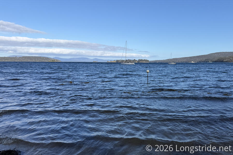
The road ended at an intersection with the A6 motorway, the one we could have walked from Geeveston. Across was a jetty with a fishing boat, and a pavilion over “the old brick kiln”, a kiln dating from the 1840s, and the only remnant of a sawmill complex built in the 1860s and destroyed by fires in the 1880s and 1890s.
The kiln was at the south end of a small park with a picnic table that hugged the coast, with a trail a few meters above the water. We followed this, rather than the motorway, and took a short detour down to the water when there was the opportunity. We wondered why either the kiln, or this jaunt to the water, wasn’t the terminus of the trail.
We followed the path along the waterfront for most of a kilometer, turning off and following the highway to Chapel Lane, where the terminus sat next to the street, adjacent to public toilets and the Dover War Memorial.
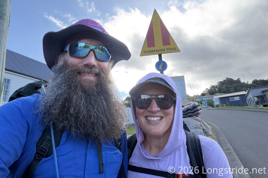
The terminus itself is sign with a map of the trail and a very large trail marker. It felt a bit anti-climactic, the trail ending on a roadside in the middle of a neighborhood, but at least there actually was a terminus sign (unlike at the northern terminus, or on either terminus of the Great Ocean Walk.
From the terminus, we walked back down the street to what appeared to be an old post office converted to a restaurant, and got pizza. As we were leaving, we saw the two cyclists again, and then walked through most of the rest of town to the Dover Caravan Park, where we got a (surprisingly nice, as it turned out) cabin for the evening.
Three weeks ago, with no real expectations except a lot of road walk, we were at the ferry terminal in Devonport, on the other side of Tasmania. Now, 461.1 kilometers later, we’ve crossed the island and had a great time doing it. This brings two months of hiking, starting with the Walk the Yorke in Southern Australia to a close. With another week in Australia before we leave the country, we’re shifting gears, getting a rental car and embarking on a road trip around the island — we still have to pick up luggage we left in a storage facility in Latrobe. But that’s another story for another time…