A sometimes rainy day took us from Ouse to one of the nicest campsites we’ve had on the Tasmanian Trail.
With a relatively short day planned today, CareFree and I weren’t especially quick leaving Ouse, not departing our hotel until after 9:30. On our way out of town, we did remember one more bit of logistics we had to deal with: we still had to arrange staying at tomorrow’s designated campsite at the Bushy Park Showgrounds. I called the contact person while we were on our way out of town, and got that confirmed.
The weather this morning was okay, mostly cloudy but with some patches of blue sky. Briefly doubling back in the direction we came from yesterday afternoon, we turned southwest along a road between farms.
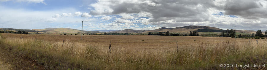
The trail notes suggested that we turn off the dirt road we were on to follow a path through the farm. But the trail on the farm appeared to be somewhat overgrown, and the road we were on was going to intersect with the trail again not that far ahead. So, we opted to stay on the road. It’d be faster, especially since we wouldn’t have to be on the lookout for snakes. (And, grass seeds in Australia seem to love sticking to our socks, so being on the road would avoid having to clean them off again.)
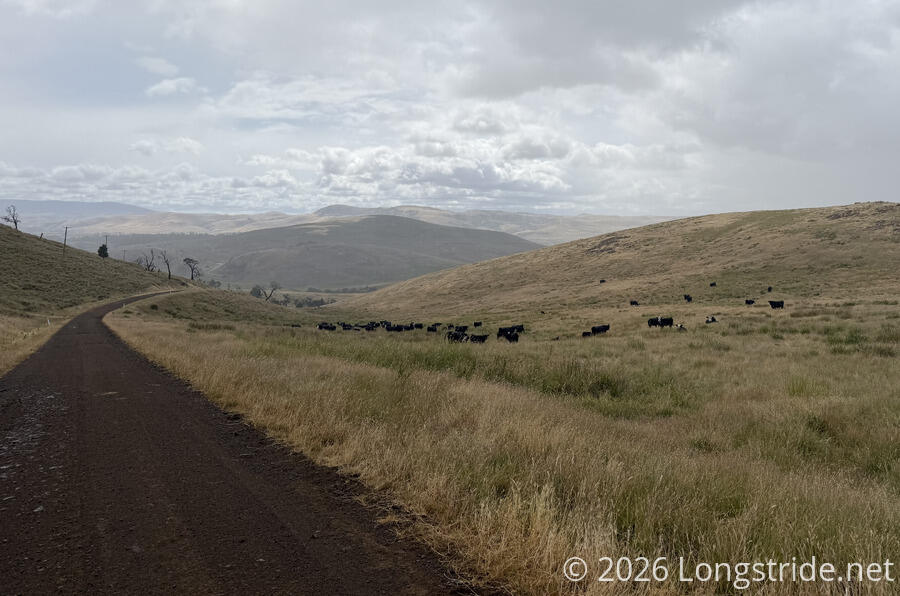
The farmland, of course, included a herd of cows. They kept their distance from us.
At the top of one of the hills, overlooking a lagoon on the Derwent River, a sign (which we didn’t immediately take the time to read because it had started to rain) called out the land burning practices of the aboriginal tribes that originally lived in the area. The aboriginals used fire to keep the land suitable for herds of kangaroo, one of their primary foods. Arriving Europeans found the practices to be similar to European agricultural practices, and then, as typical for colonizers, kicked out the natives and replaced the kangaroos with sheep and cattle.
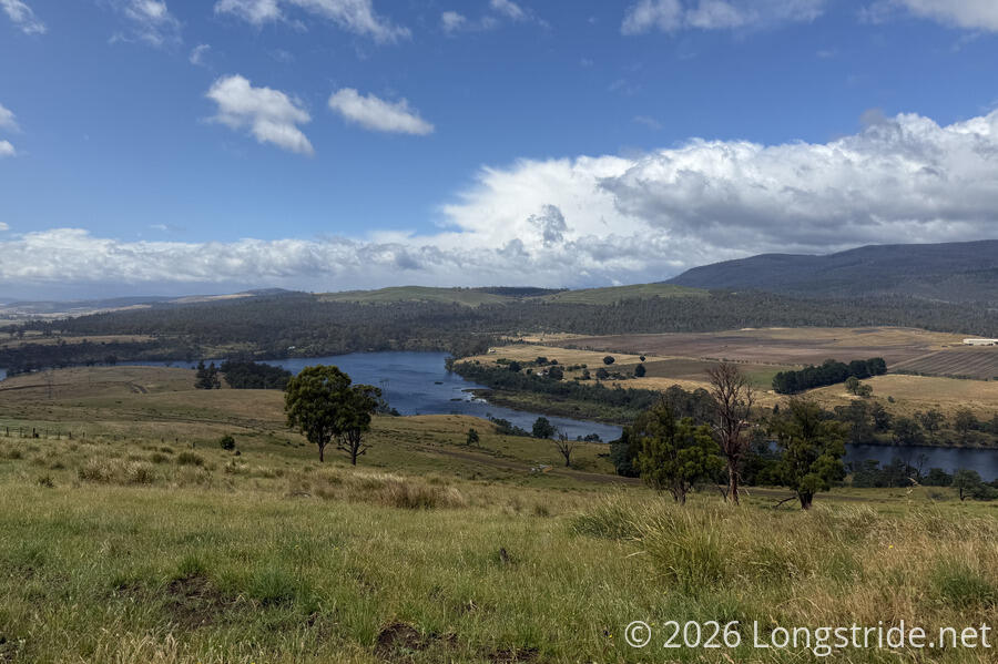
Especially with the wind, it was cold while it rained, though fortunately that didn’t last terribly long, and the rain stopped before we reached the bottom of the hill, which was a bridge over the River Derwent at yet another dam. (This was our first crossing of the Derwent; we’ll cross it twice more in two days on our way into New Norfolk.) A step climb on the other side brought us to a crossroads, a decision point, and our first break, on the side of the road.
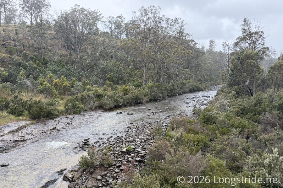
Ahead, the trail forded the Broad River, which we knew basically nothing about (and the trail guide didn’t provide much information either), except that we needed to ford it. There is also a detour for when the river is in flood, that crosses the Broad River over a bridge. As a result of the rain the past few days, out of an abundance of caution, we decided to take the detour.
We continued on a dirt road, crossing the river about fifteen minutes later. Kind of unsurprisingly, even with the rain, the river was neither wide nor deep. Where we could have crossed further upstream, it would have been smaller still. On most any other trail, the river would have been small and unremarkable, barely worth a mention.
After leaving from the road crossing, the rain continued to come in spurts. This gave us the somewhat humorous juxtaposition of walking past farms with their very large sprinkler systems going while it was raining.
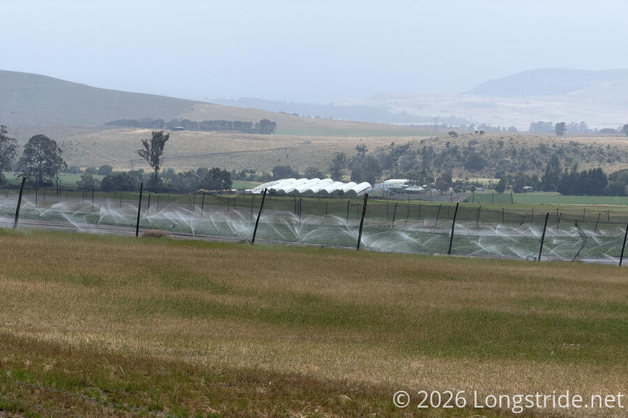
After the sun came back out, we stopped for a break at the entrance to a farm. To this point, the detour had been half a road through forest, and half along a farm of some sort that had (possibly recently planted) bright green crops that contrasted well against their dirt beds.
We’d seen cows in the pasture next to where we stopped, but didn’t think much of them. (After all, the cows in the southern half of the trail so far seem to be more skittish and haven’t been following us.) This pasture of cows, though, was very much interested in us, and managed to sneak up on us while we were having a snack. When we turned around as we got up to leave, we were somewhat startled by a herd of cows standing just a couple of meters from us, only a wooden fence and a few strands of wire keeping them in their pen.
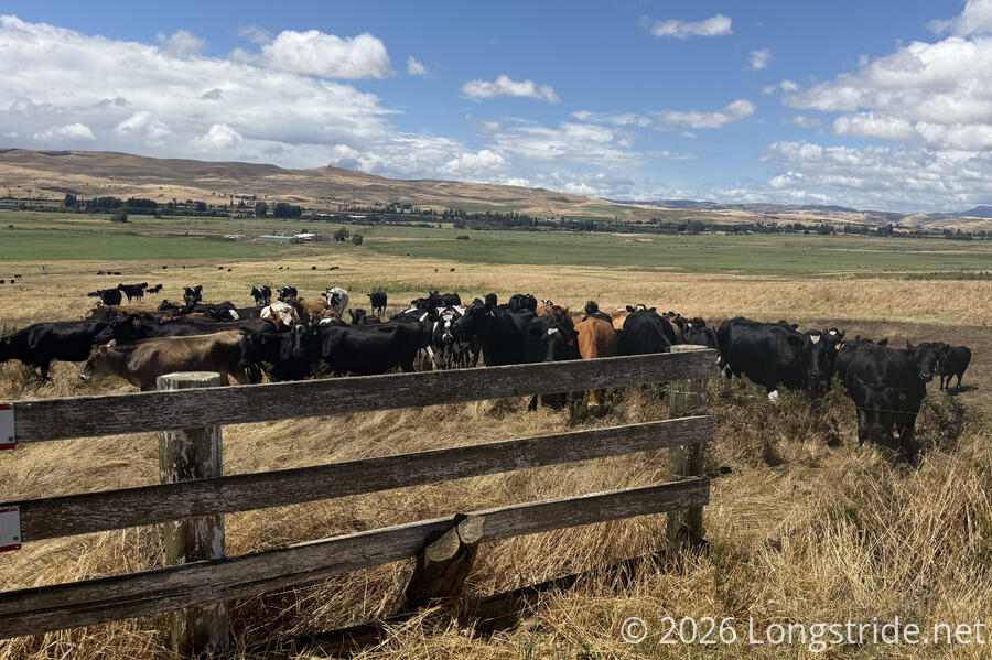
We quickly gathered our things and resumed a brisk pace down the road, only to have the cows follow us on their side of the fence for another six or seven minutes, as far as they could. It really was a little unnerving, especially since there were a few places where the fence seemed to get too low and too close to the road.
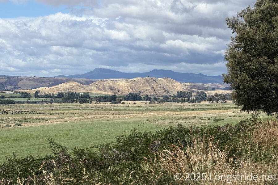
At least, we were walking along a very nice valley, with a backdrop of mountains behind it, so we had nice scenery as we were hiking away from the cows.
Our dirt road ended and joined a paved road, and we began a long and somewhat steep climb uphill. This was matched with a similarly long and steep descent down the other side of the hill.
On our way downhill, we saw a Tasmanian devil, lying dead on the side of the road, obviously the victim of an unfortunate run-in with a car. This wasn’t really the way we’d anticipated seeing Tasmania’s signature animal. We still have another week left on the trail, so we still have a tiny chance to get lucky and see (or hear) a live one.
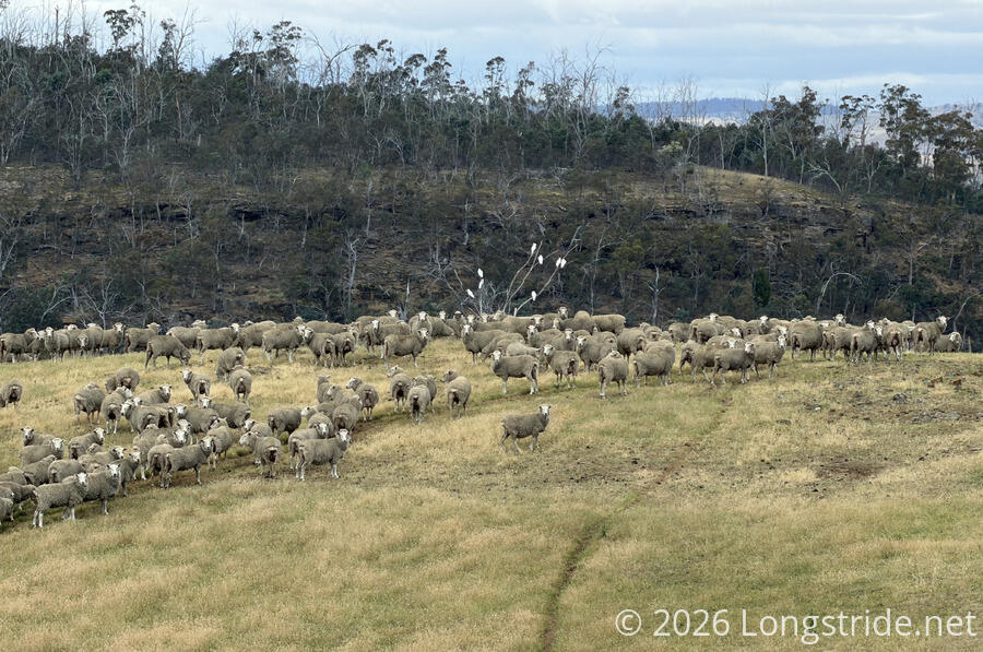
We rejoined the Tasmanian Trail, turning east along a dirt road taking us between more farms. As often as we’ve seen parrots in Australia, it still doesn’t feel like the type of place that should have parrots. So a sheep farm that had cockatoos hanging around made for an unusual (to me) combination.
A short distance off the road, on private land, we reached our campsite, which was surprisingly nice. Down in a small valley (so it was difficult to see from the road unless you knew what you were looking for), and adjacent to the Jones River, stood invitingly, a large shelter. Its centerpiece was a very large wooden table with bench seats. A thin mat covered the dirt floor, helping to keep it clean inside. Several smaller tables, numerous chairs, and some other odds and ends (and children’s toys) lined the three walled sides of the shelter, including a dart board on the back wall. A pair of brightly-painted picnic tables in front of the shelter added more seating. With all of the tables, this space could easily seat a couple dozen people. Presumably, as a family event space, this place sees quite some use. It might not be as well-manicured as the shelter at Quarry Gap on the Appalachian Trail, but it definitely gives the vibes of a place that’s important to someone. So we tried to treat it with the appropriate respect.
A large lawn in front of the shelter provided ample space to camp. A very short trail led down to the Jones River, which was quite loud from several small ledges in the channel. A wooden swing, hung with rope from some very tall trees on the riverbank provided very easy access to a swimming hole in the river. (We did not attempt to use it.) Opposite the shelter, in knee-high grass, were a pair of pit toilets.
Over the late afternoon and early evening, the rain came and went a few times. We got water to filter from the river, and cooked dinner. We set up our tent near sunset, avoiding at least some of the rain (though more is forecast for overnight). After sunset, solar-powered fairy lights strung up around the shelter’s entrance turned on, providing a little bit of color and illumination in the night.
Tomorrow, we’ve got a 32-km day to Brushy Park. And for once, we’ll have a fair amount of actual trail to hike!