Leaving the farmlands of the north, we climbed Tasmania’s Central Plateau, camping near Yingina / Great Lake, the highest and one of the largest lakes in Tasmania.
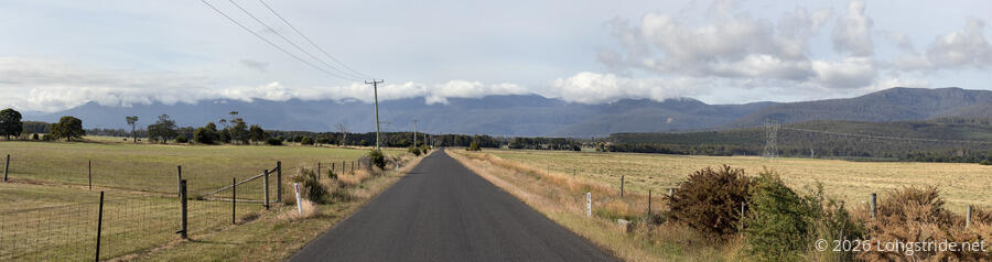
With a possible (though unlikely) 40+ kilometer day today to a campground at Arthurs Lake, CareFree and I actually got up before 6 am, and started hiking shortly after 7, heading along a dirt road that would allow us to skip going into Bracknell, a 4 km shortcut to cut off 14 km of “trail“. (Bracknell is entirely out of the way. I think going through the town really only makes sense for cyclists.)
Shortly after we left the Old Liffey School, a pickup truck came racing past, kicking up an unreasonable amount of dust from the road. Several minutes later, we passed a dead wallaby on the road, notable only for being so recently deceased that there were no flies swarming it — probably it was hit by the truck we saw.
While the sky was mostly clear overhead, the rim of the Central Plateau was again covered in clouds. We figured they’d probably disappear later in the day. (Mostly, they did.)
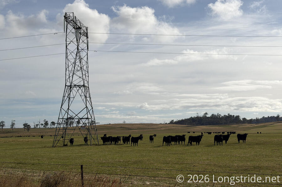
We passed alongside more cow pastures. As before, the cows were very interested in us and followed us as we walked along the road.
A cyclist with large panniers passed us along the road, though they didn’t stop to talk, so it’s unclear if they’re doing the Tasmanian Trail or something else.
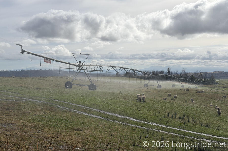
Shortly after, we had to avoid a large farm sprinkler that was spraying out of its farm and across the road. While a free shower might have been enticing, there was no telling what was in the water, and we didn’t want to take any chances. The sheep in the field didn’t seem to mind, though.
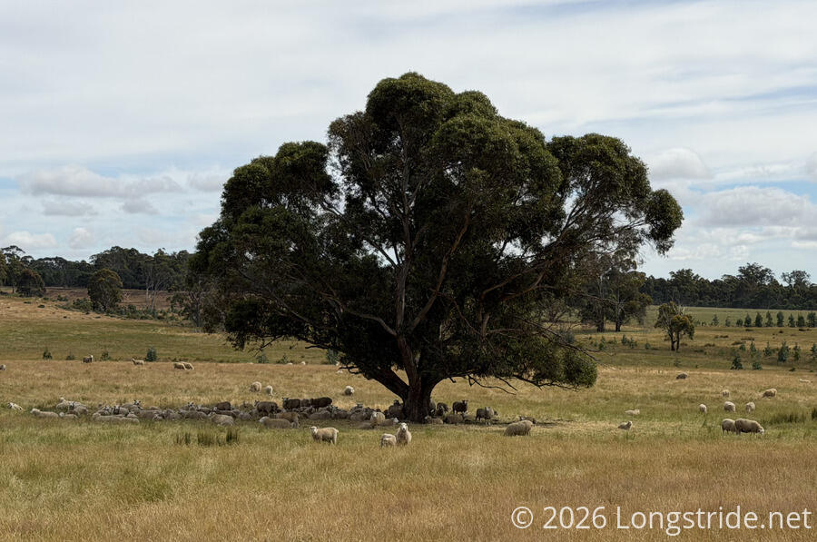
Throughout the morning, we continued passing farms of different sorts. Often there were sheep or cows, but we also passed a deer farm.
We continued following the road, heading generally towards a crease in the northern face of the Central Plateau. Our paved road became a dirt road, and then eventually, after winding around more farms, the road ended at someone’s driveway. We followed the driveway through a pair of gates and crossed over a small creek, stopping for another break (and more water) before we began the climb up to the plateau.
This began the Caves Track, an old stock trail used to herd animals to and from the lowland farms to the much higher Central Plateau.
The lower portion of the Caves Track was a nice, wide dirt trail, though with a somewhat steeper inline than the road leading up to it. Still, it was quite easy to walk.
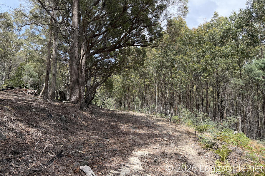
After a little while, the trail shrank in width and started getting more rugged, but it was still easy to walk. The trail description recommends that only hikers and experienced horse riders attempt this trail, and that cyclists should take an over 30 kilometer detour along paved roads up the plateau. As we got further up, and the ground got more rocky and uneven, this seemed like excellent advice. (I wouldn’t want to attempt cycling up the hill, but I could imagine going downhill might be “fun”.)
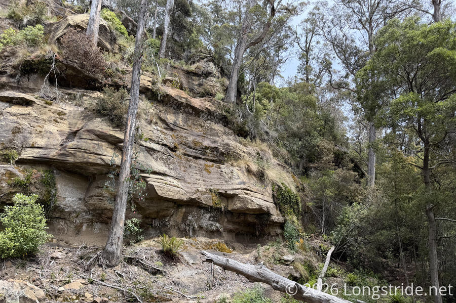
Higher up, we passed sandstone cliffs with small caves, likely the source of the Cave Track’s name. We also passed a few very deep (several meters) gouges through the trail, clearly carved by water in (much) wetter conditions. (I wouldn’t want to hike the trail under conditions where those ravines were filled with water, but it’d certainly be interesting to see what it looks like when they’re filled with water.)
About a kilometer and a half from the top, we made a wrong turn; instead of keeping right to stay on the trail, we accidentally turned left while on a particularly steep section, probably missing a trail marker and taking us off-trail. (If there even was a trail marker. I don’t think the Tasmanian Trail’s markers have been well or consistently placed, so I’m never actually looking for them. Often when I do see them, they’re not where I’d expect from experience on other trails, and they’re often missing where I think they should be.)
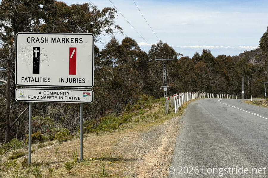
Both the right turn and our left turn dropped us out at the side of a highway, though our wrong turn was longer and somewhat less steep than the correct turn would have been, and it gave us more road walk to get to where we should have been. Fortunately, there wasn’t that much traffic, and the shoulder was reasonably wide, so it wasn’t a big problem.
This road (Poatina Road, B51) apparently has quite a large number of accidents; a sign called out crash markers on the side of the road, white plastic poles with either red (injury) or black (fatality) stripes. Without the sign, you’d think someone was significantly overzealous about warning about a curve on the road. (Naturally, the sign was filled with bullet holes, nearly all clustered around the fatality stripe.)
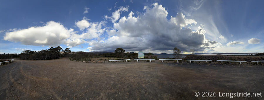
Another half hour down the highway and twenty minutes down a dirt road brought us to the Poatina Intake day-use area and bush camp on Yingina / Great Lake. The lake, one of highest and largest in Tasmania, is used (among other reasons) for power generation: there is over a 700-meter drop from the intake on the lake, to the Poatina Power Station at the base of the Central Plateau.
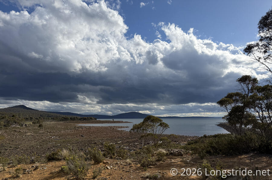
A “day-use area” near the intake claimed to have a picnic table, but we saw none. Still, it had a nice view of the lake. Picking out a campsite was a little challenging, since the bush camp was covered in wallaby poop and toilet paper blossoms.
We got water from the lake to filter, and cooked dinner, finishing comfortably in time to get our tent up before some dark clouds started blowing in from the west.
It rained a little around sunset, just enough to wake the mosquitoes from their torpor and send them buzzing around the space between our tent body and its rainfly.
Not including the walk off-trail to tonight’s campsite, we hiked about 27 km, a little more than halfway to Arthurs Lake. Tomorrow, we’ll have a relatively easy day, a mostly flattish 20 km. Despite the short day, since we’re starting off with a highway roadwalk, we’re planning on getting up early tomorrow so we can (as much as possible) avoid getting cooked by the sun and the pavement (and also hopefully avoid as much traffic as possible).