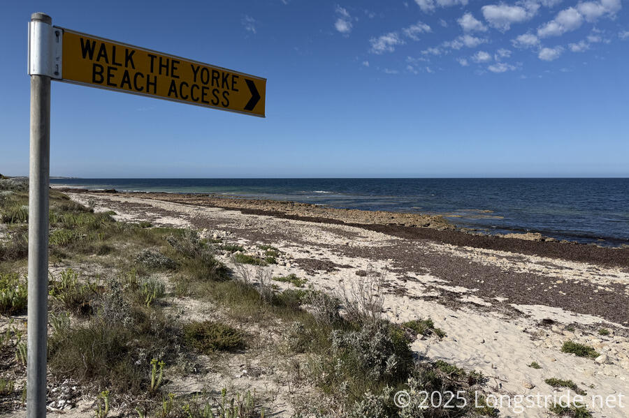
Another day of beaches and farms brought us to Port Minlacowie.
Leaving the caravan park around 9, CareFree and I quickly returned to the beach.
The beach initially was very rocky and slow-going, but quickly became better. After about 20 minutes on the beach, the trail veered off the beach and appeared to climb up and follow the sand dunes. The reason for this was unclear, but we didn’t really want to hike on the (likely) soft sand of the dunes, and from our maps, the beach ahead seemed like it’d be fine, so we decided to continue along the beach.
In retrospect, the beach wouldn’t have been very much fun at high tide, especially towards its southern end, so we probably got lucky with the tides again.
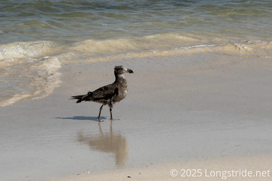
We were lucky we did: we got to see a pod of dolphins swimming a short distance offshore.
Towards the end of the beach, we climbed up onto the dunes following a path to avoid the rocky end of the beach as it reached the Barkers Rocks. Once we got to the top of the dunes and closer to the parking area and shelter above the rocks, it looked as though we probably could have stayed on the rocks and been fine. (Likely the trail is described as being on the dunes and not on the beach because at high tide there’d be no easy way off the southern end of the beach at Barkers Rocks.)
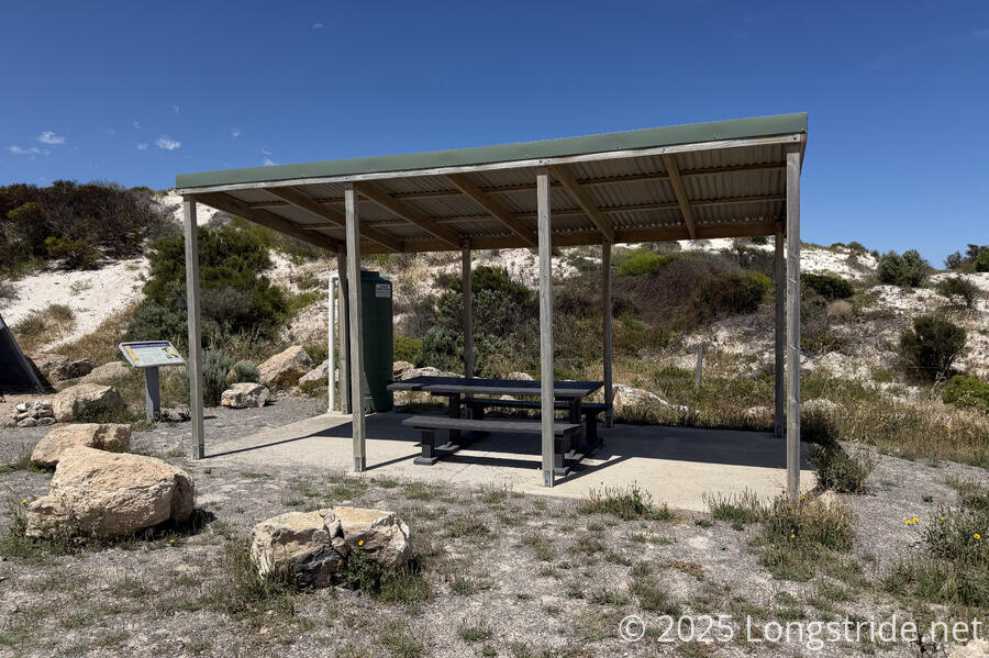
At the shelter were three caravans, but we didn’t really interact with any of the people in them.
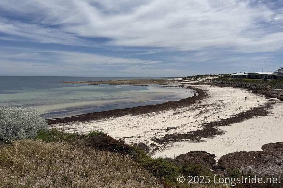
Continuing south from the shelter, we returned to the initially lava-rocky beach, where some small dry pools in the rocks had formed a salty crust. Once we got past the rocks, the beach was quickly overrun with seaweed. Despite the breeze, the sting of sulfur hung in the air, almost a little overwhelming.
At Bluff Beach, the trail briefly left the waterfront, climbing atop a cliff, once the site of a series of davits (cranes to raise and lower boats to or from the water) for grain shipping, but now the site of (some ostentatious) vacation homes.
South of Bluff Beach, although the water was fairly far out from land, the walkable area was still narrow and seaweed-filled, and we were quite happy when, at Parsons Beach, the trail left the beach to follow a road inland a bit.
Turning south again, we followed a dirt road between a farm and some other private property (that for some reason gave me the vibes of a nature preserve since it seemed to include the dunes). A black-and-white bird led us down the fence between the farm and the road for what, to it, must have been a very annoying kilometer, as each time we got close, it jumped and flapped a few meters down to the next fence post.
The flies on this stretch started to become annoying. Once we started following the farm, away from the ocean’s breeze, were started collecting an entourage of flies which mostly buzzed past our heads and hitched a ride on our packs.
After a while, the road dead-ended into a gate which led to a path along edge of a lightly forested area along the property boundary. It was nice to get a little shade while we walked.
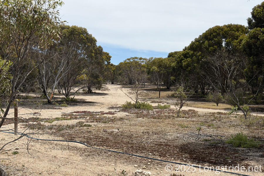
That didn’t last long, though, and soon we were back along the farm. I think it’s still weird to see a farm adjacent to sand dunes, but I guess that’s what you get when you have a farm this close to the ocean (and not high up on cliffs, like many of the ocean-view farms we saw in the Northlands on Te Araroa.
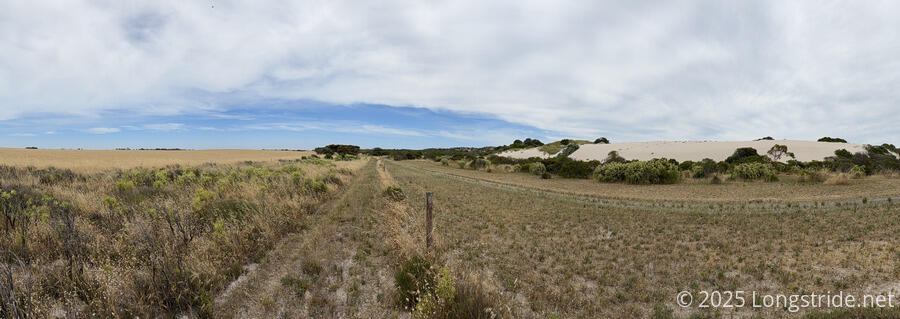
After some more dirt road, the trail began following a sandy trail near the edge of the Pisca Bushland Conserveration area. Especially after the dirt road, the softer surface was nicer on our feet, though our socks collected quite a number of sharp pokey seeds from overgrown foliage.
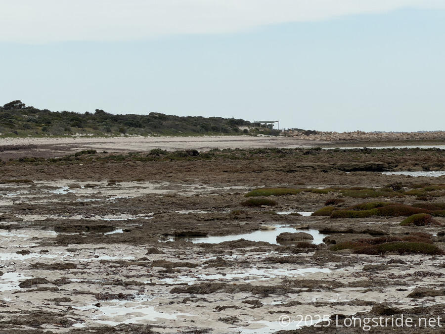
The trail eventually returned to the beach, the water still a ways out, as we approached Port Minlacowie, its shelter beckoning us in the distance.
It had been generally sunny all day, though clouds began to brew on the horizon and blow in with the wind. The weather forecast said it’d be windy for a couple of hours, so we didn’t pay the clouds much mind, but after we set up our tent and started cooking dinner, the breeze picked up even more and some light rain fell for maybe half an hour. A little annoying and inconvenient while we were trying to cook, but we’ve had far worse on other trails.
Not long before sunset, we chatted with two older ladies out on a walk; they’d previously walked the entire trail, and helped do test hikes when the trail was being originally designed. It’s not often you get to meet people who had a hand in creating the trail you’re hiking, so that was pretty awesome for us.
Tomorrow, we’re getting up early to speed the 20 km to the Point Turton Caravan Park, where we’ll take our first zero. It’s a bit early in a hike for a zero, but starting off the trail with two 30 km days did not make our feet happy, and they deserve a little bit of a break.