Heading east from Point Turton, we began crossing the north coast of the Yorke Peninsula, heading to Corny Point.
With a nearly 30 km day planned, we were up at 6 and left the caravan park barely 90 minutes later.
Already zero-for-two on sleeping pads this year, CareFree’s water bladder has also sprung a small leak. We’d noted this two days ago hiking into Point Turton, but now with a full load of water, wherever the pinhole leak was, by just a couple of minutes into the day, she found it to be releasing an unacceptable amount of water into her pack. For the time being, we set the bladder inside a ziplock bag to at least collect the water so it doesn’t spill into her pack. (This didn’t work very well; later, she decided to just use one of her foldable water bottles instead of the bladder to hold extra water, and just drink from her Nalgene bottle. It’s not a great solution for staying hydrated, but it’ll be fine through the end of this trail.)
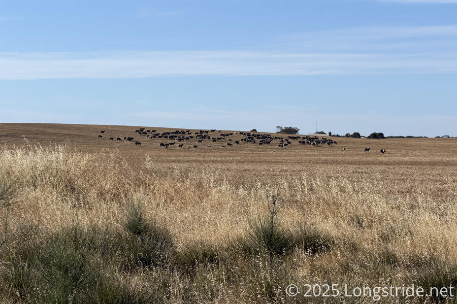
Continuing west, we followed a paved road out of town that became a dirt road after about half an hour or so. The road took us past a small herd of brownish sheep, which blended in well with the grain in their field, and they were almost hard to spot at first.
The trail veered off the road for a while, going through a campground, the Len Barker Reserve. With some shade (and not being on a road, even if it wasn’t very busy), we took the opportunity to stop for a break.
At some point after the campground, the trail left the road, going through a field. Unfortunately, the point at which the trail appeared to diverge was through a field of waist-high grass, which we didn’t want to walk through. After a short while, the trail became cleared and distinct, but by that point, there were no access paths, short of hiking down a moderately steep hill through some rough scrub. We stuck to the road for a while longer, until after the trail rejoined and departed again near a viewpoint.
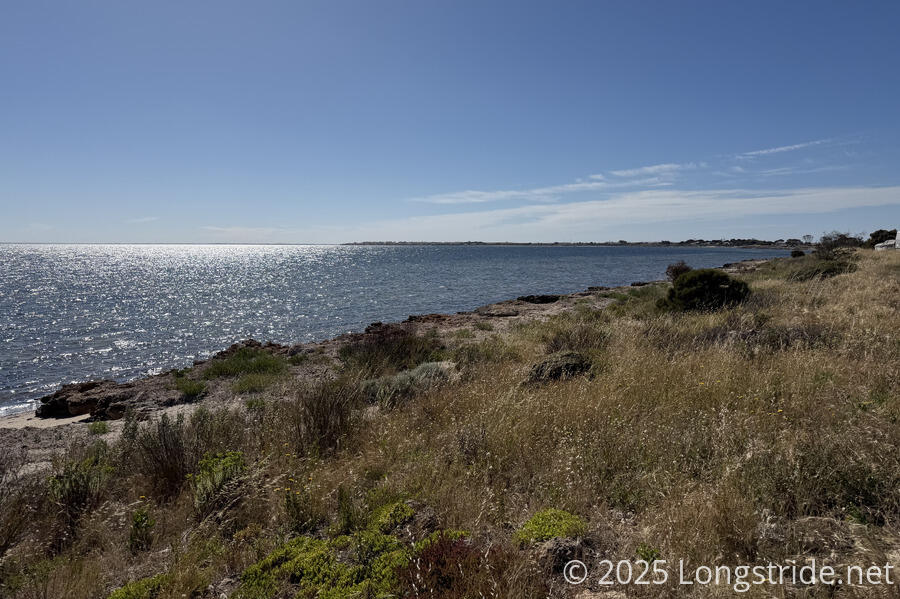
Presumably because of the close proximity to farms, the flies this morning were particularly annoying, and some of them wouldn’t stop trying to go into my nose or mouth. The flies got a tiny bit better when we eventually joined a beach and the wind picked up a little.
This beach walk was actually relatively hard. Besides the flies, there was a lot of rock, soft sand, and soft seaweed to navigate.
The beach brought us to the Burners Beach Shelter, where we stopped for a very long break in the shade, taking advantage of the shelter’s water tank to replenish our supply.
The trail continued along a long, much nicer stretch of beach. Occasionally, it was a bit soft, but we made good time.
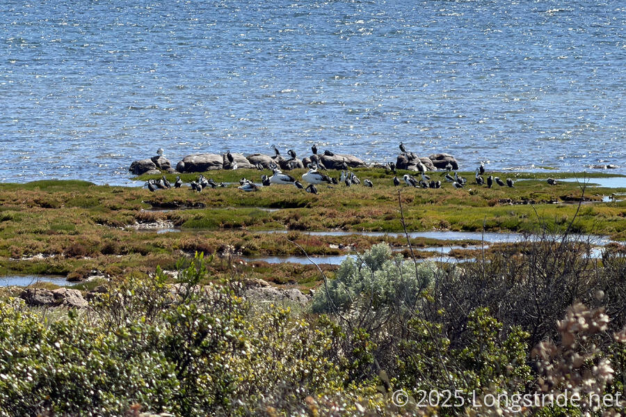
Offshore a fair distance, aided with binoculars, we could see a mast with a light and a ladder. We thought it might have been a marker for a shipwreck (since it looked similar to one that was near Point Turton), though our map of the peninsula didn’t have a shipwreck indicated there.
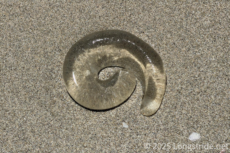
On the beach we saw washed up some curious transparent jelly-like things. They were obviously some kind of dead sea animal, and definitely not jellyfish. A web search for “transparent ocean jelly blobs” suggests that maybe it’s part of a salp, but even then, it doesn’t quite match the pictures I’ve found.
Eventually, the trail left the beach, climbing up to the cliff top via a set of stairs. Shortly after, we reached an unexpected and well-shaded shelter, and stopped for another break. It’s been warmer today, and after walking on the beach with no shade, we were getting fatigued.
On the clifftop, the trail went through “The Pines”, a somewhat wooded community with a couple of nice shelters overlooking the water and a well-manicured trail through the trees. A sign described how the sea wall that was built to protect The Pines worked well for that purpose, but over time has caused the erosion of the beach because the sea wall impairs the natural motion of sand.
One last beach walk, over a somewhat rough and rocky beach got us to a dirt road that took us into the “town” of Corny Point. The town seemed to mostly consist of a handful of houses, an athletic field, a tavern, a church, and our destination, the Corny Point Caravan Park.
Arriving a bit after checkin, the manager was still around and saw us arrive, and was happy to open the camp store for us (for cold sodas and ice cream after a hot day!).
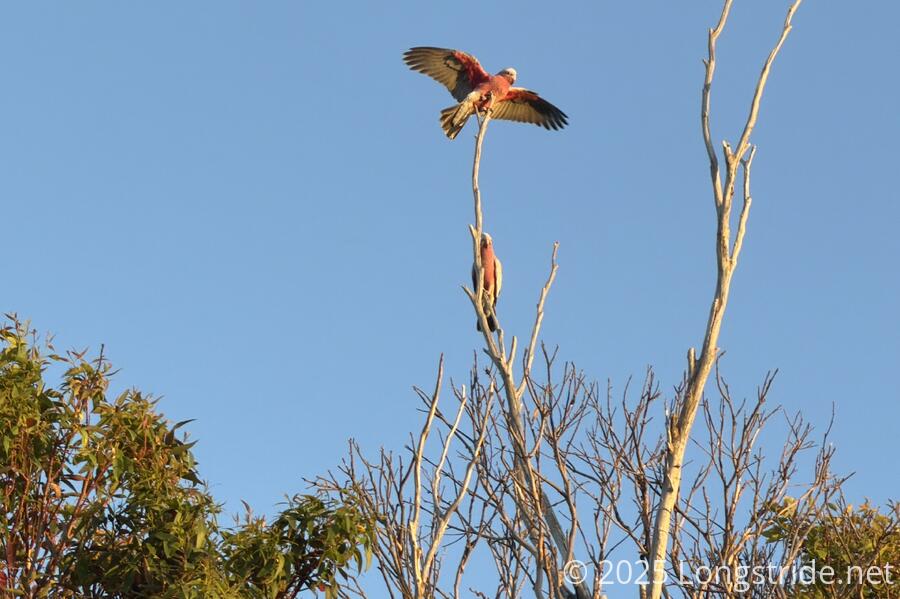
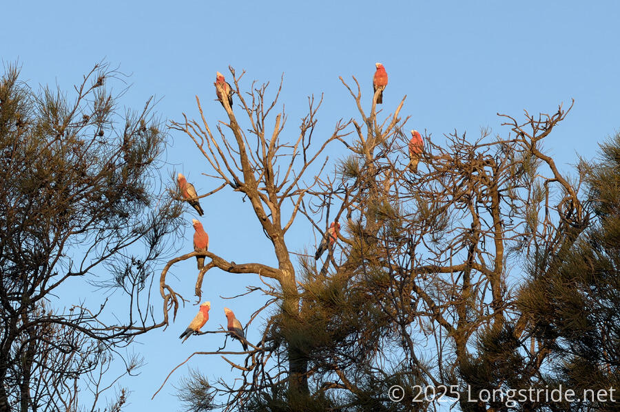
Also greeting us were a flock of galah cockatoos roosting in the trees surrounding the park and making quite a lot of nose. We hadn’t seen any parrots at all so far this hike (and weren’t really expecting to see any for another couple of days until we get to Innes National Park), and we haven’t seen this many parrots at once since we were on the Great South West Walk earlier this year, so this was quite a boost for the day. The parrots continued to make quite a racket until after sunset.
There was a bit of confusion as to whether the tavern was open or not, so after we got the tent set up on a nice grassy lawn, and got showers, we opted to just cook dinner in the camp kitchen.
Also at the campground were a couple dozen kids and instructors from the Port Vincent Aquatic Centre, here for the week for a surfing trip to Berry Bay, which we’ll hike over tomorrow. (Fortunately, they were just about finished with dinner, so they weren’t crowding the kitchen too much.) We chatted for a while with the lead instructor, who’s apparently been bringing groups here for twenty years!
Tonight’s campsite was our first this trail not within sight of the ocean. But, we had parrots, so that seemed like a reasonable trade.
Tomorrow, we’ll head around the actual Corny Point (and its lighthouse), and again turn south.