For over 1,300 kilometers, from Ship Cove to Bluff, Te Araroa travels across the rugged wilderness of New Zealand’s South Island. Continue reading for a glimpse at what New Zealand — and Te Araroa — have to offer.
South Island (Te Waipounamu)
After completing the North Island of Te Araroa, I set off to the South Island to complete the trail there.
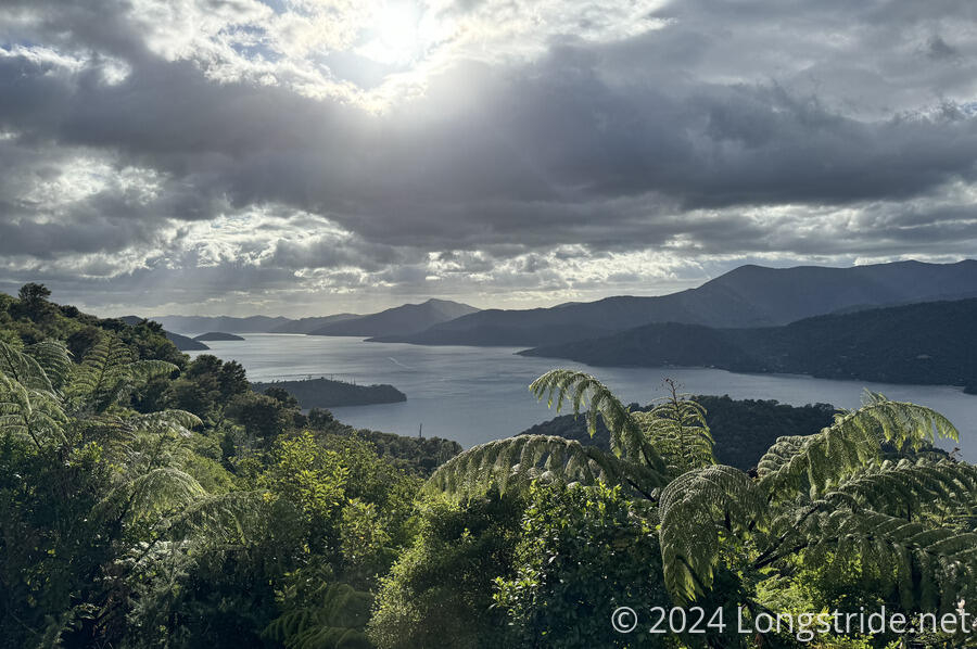
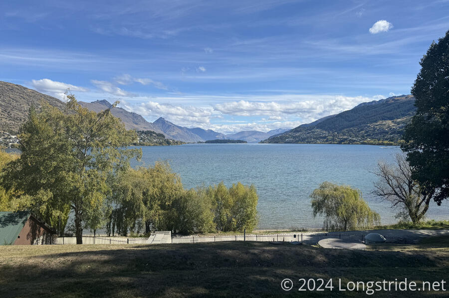
From Wellington, a ferry to Picton, and then another ferry to Ship Cove, I began the South Island TA on the Queen Charlotte Track.
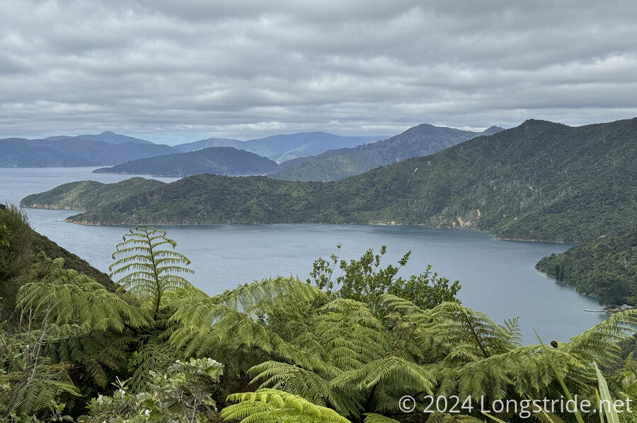
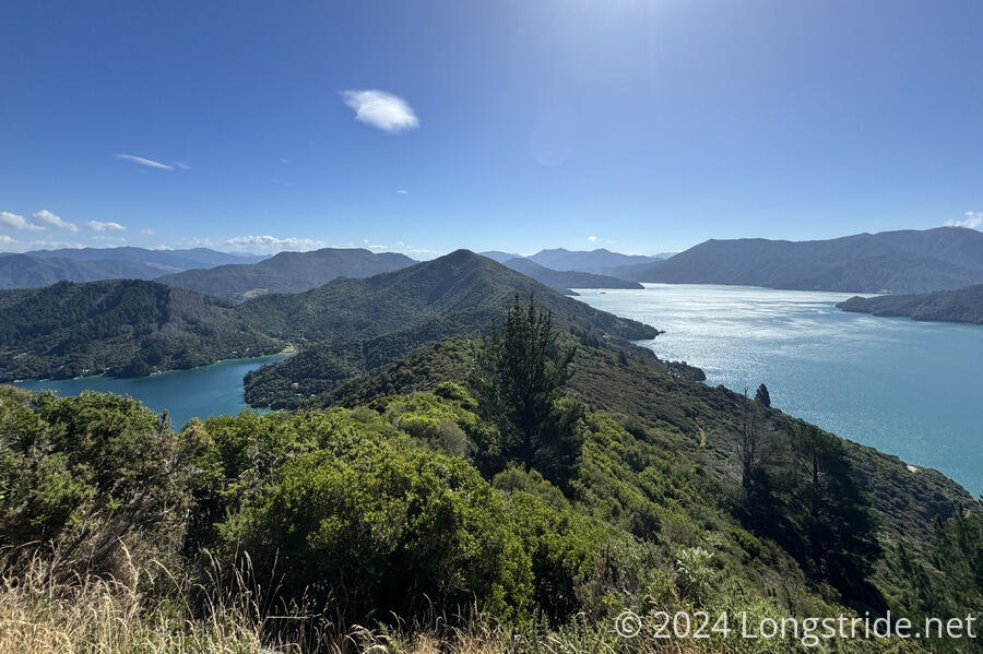
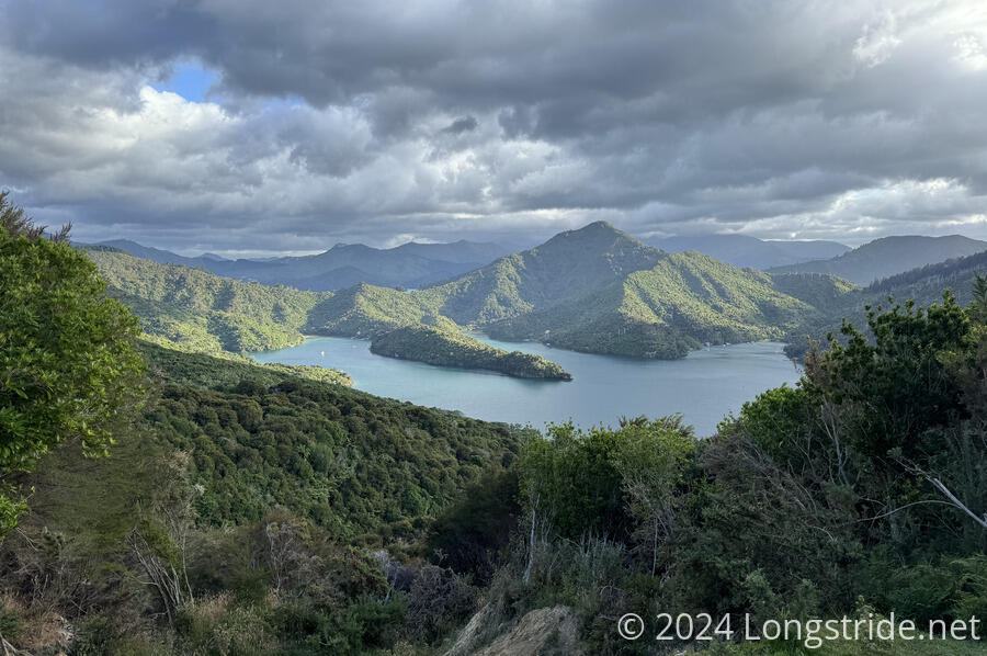
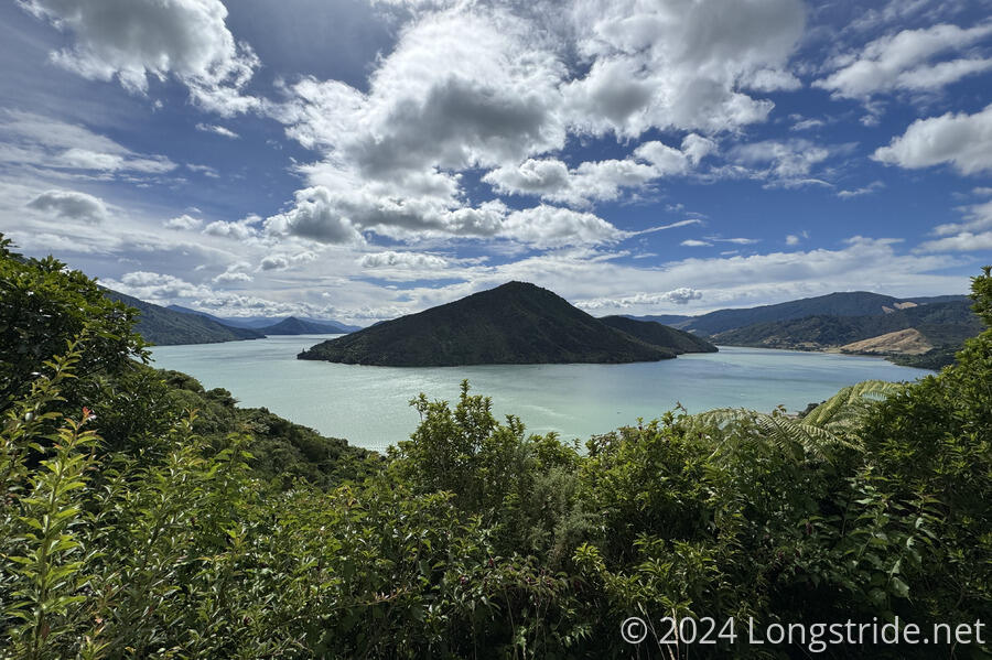
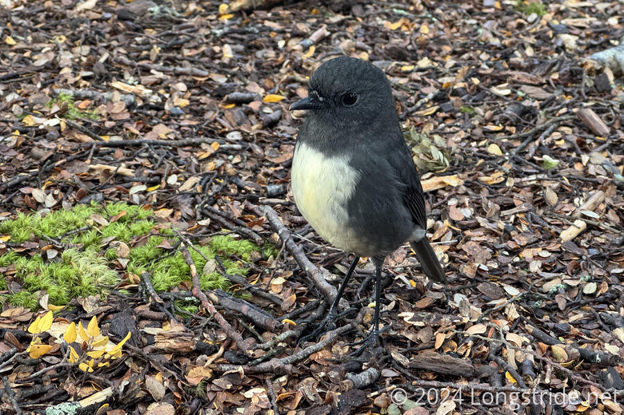
The Queen Charlotte Track, overlooking Queen Charlotte Sound, was a fantastic start to the South Island. The trail was mostly easy and fast to hike, with excellent views to toe sea on both sids of the trail. Common in the area were wekas, chicken-sized ground birds with a proclivity for stealing food and trash.
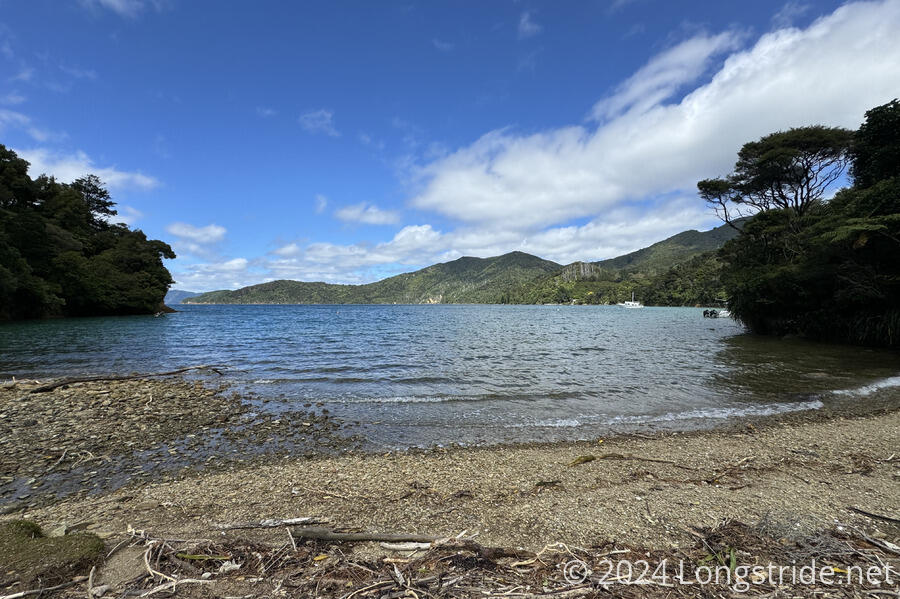

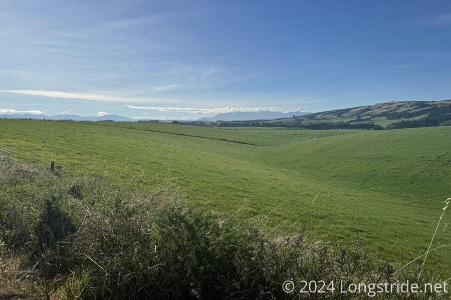
From the end of the QCT in Anakiwa, the trail passed through farmland as it worked its way to Havelock and Pelorus Bridge, at the foot of the Richmond Range. A long stretch of this was along roads (paved and dirt), which wasn’t great on the feet, but with a large food carry out of Havelock, at least it made for relatively quick and simple travel.
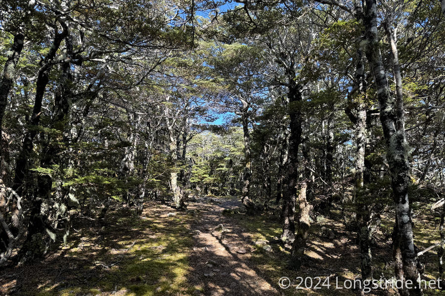
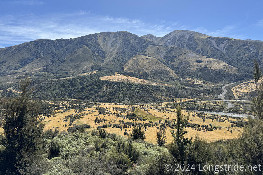
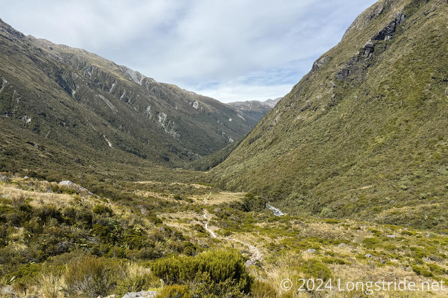
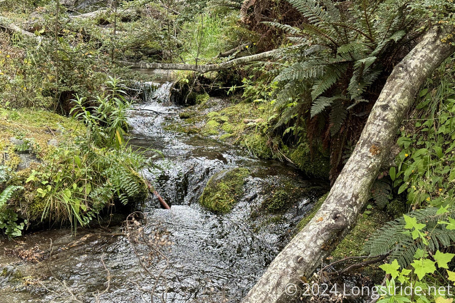
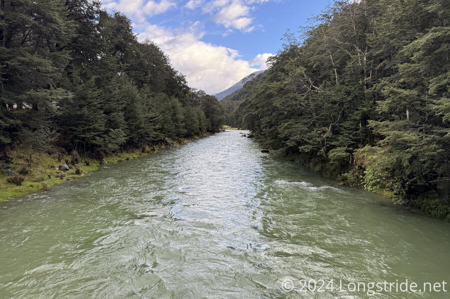
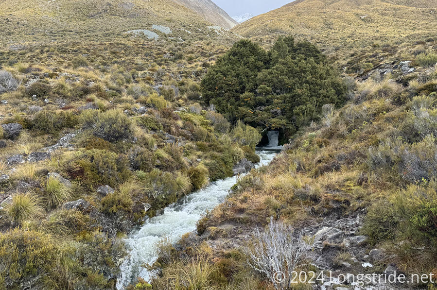
From Pelorus Bridge, the trail began a relatively gentle climb, largely following the Pelorus River upstream to Middy Creek Hut. A steep ascent to Bryant Ridge, a ridgewalk, and steep drop down to Hacket Hut brought me to the start of the Starveall Track and the Richmond Range.
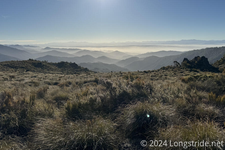
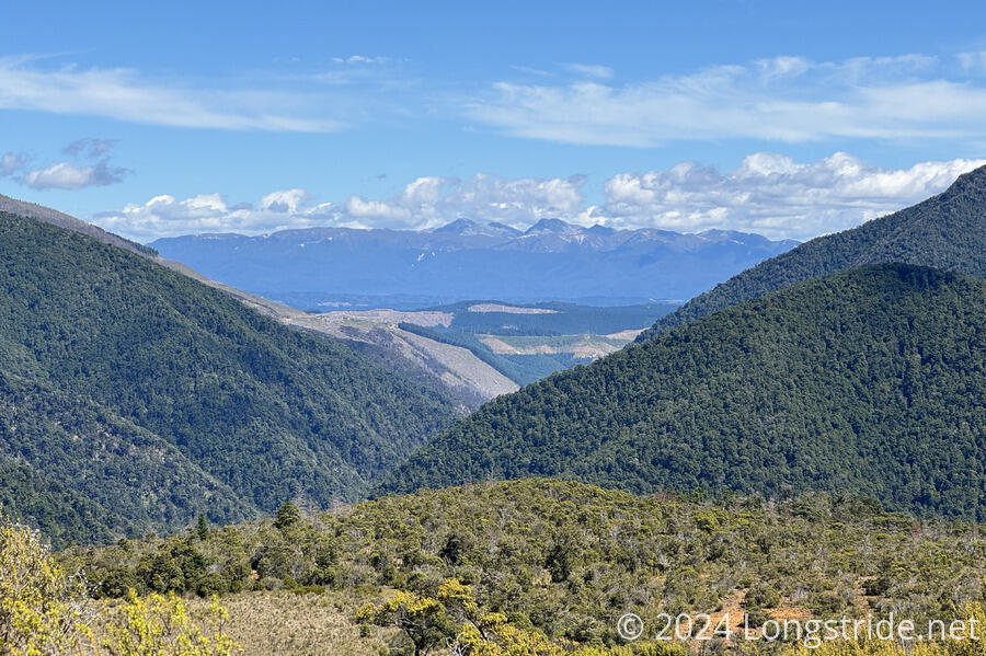
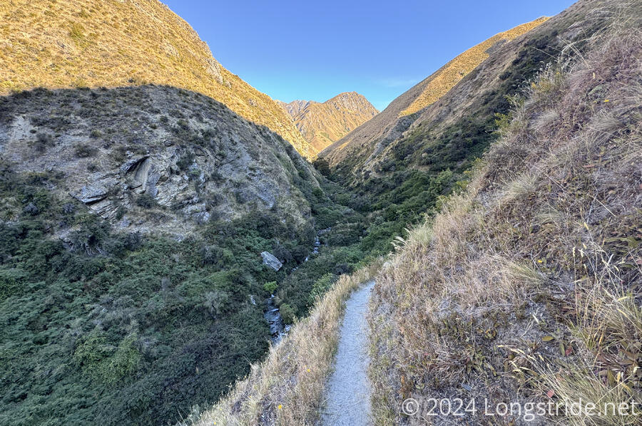
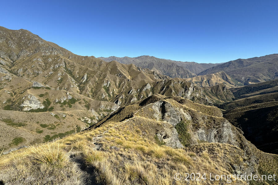
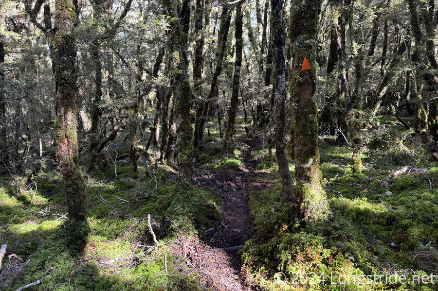
Five days of arduous, steep, and occasionally dangerously eroded trails took me through some quite stunning landscapes as the trail zig-zagged its way southwest along the ridges and valleys of the Richmonds.
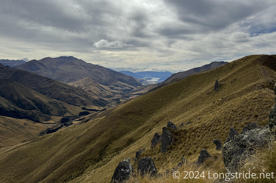
The trail’s high point was on Mount Rintoul, a rough and rugged mountain with grand overviews of the surrounding mountains.
Later, the trail followed (and went through through) the Wairoa River, with very narrow and challenging trail high above a fast-moving river.
The last two days went through the Red Hills area of the Richmonds, with a very different kind of landscape, and featuring some very eroded trail.
The Richmonds as a whole is an extremely tiring section. On balance, I don’t think the reward was worth the difficulty, but that’s colored by my experience in hiking through plenty of other mountainous areas in the US which have equally amazing views with less arduous trail.
The last day of the Richmonds was nice trail, shared with cyclists, before transitioning to a long dirt and road walk to St Arnaud, a tourist town set between the RIchmond Range and the Nelson Lakes National Park.
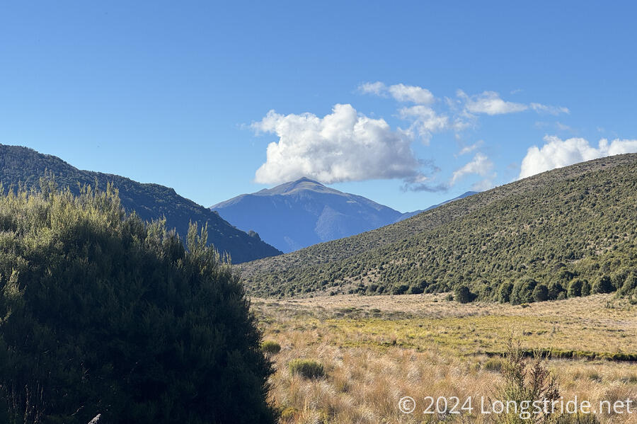
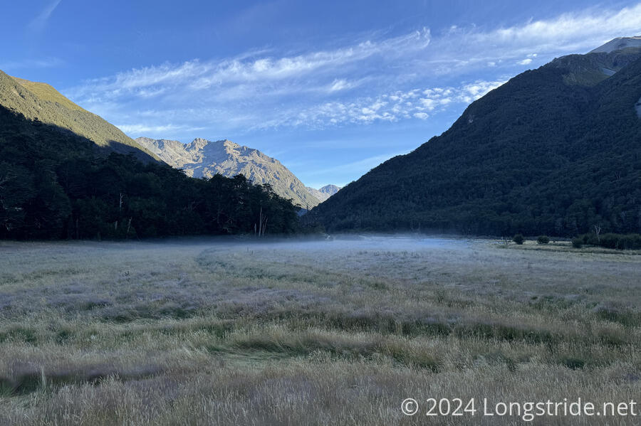
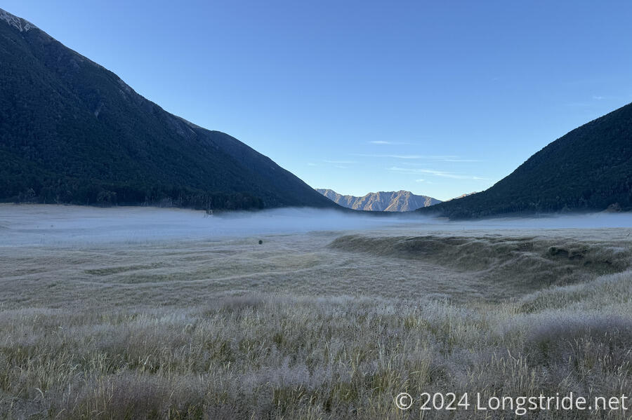
From St Arnaud, the TA entered the Nelson Lakes National Park, initially by following the Travers River upstream along its valley. It made for a long, gentle uphill, in quite contrast to the prior week, or what was just ahead.
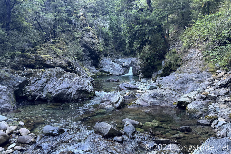
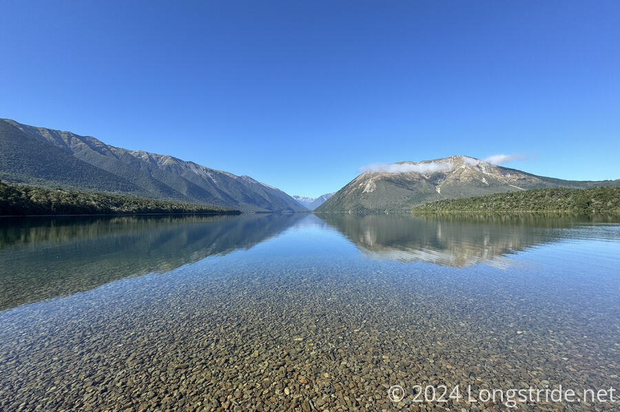
Dropping down along the Sabine River East Fork and then up along the West Fork brought me to Blue Lake, the clearest lake in the world.
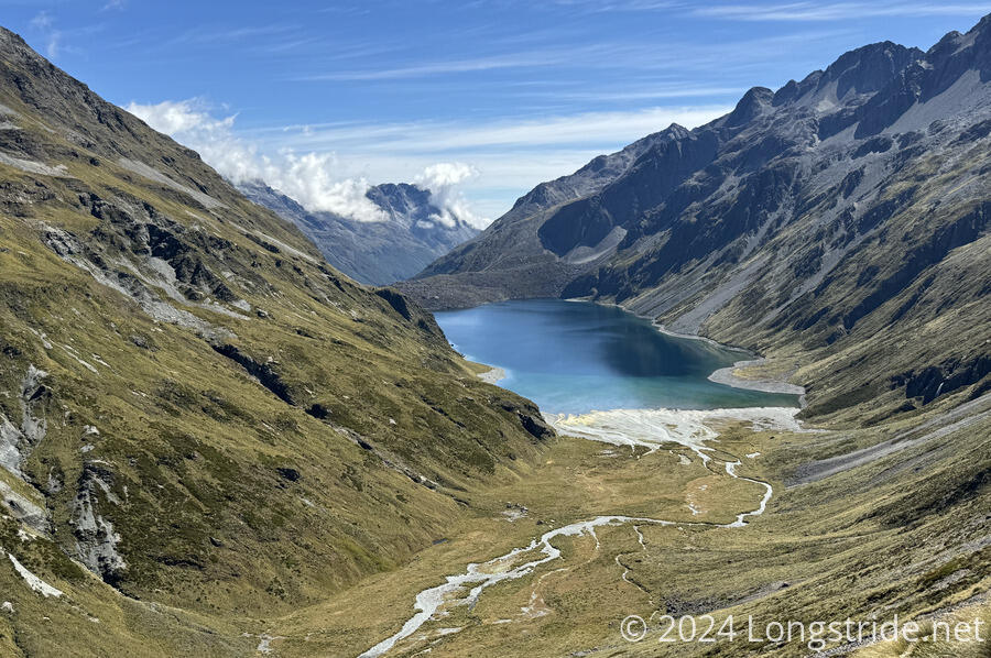
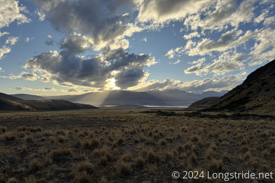
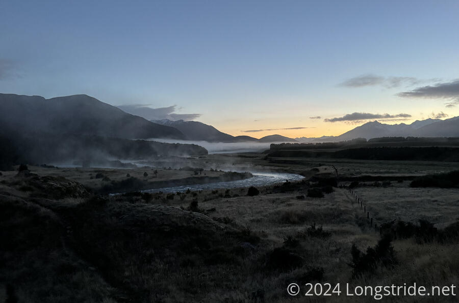
A long, steep climb past Blue Lake took me over Waiau Pass, which provided for one of the most epic views on the TA. A correspondingly steep drop down into the Waiau Uwha River valley passed through a maddening avalanche field, eventually reaching a day and a half’s worth of riverside meadows.
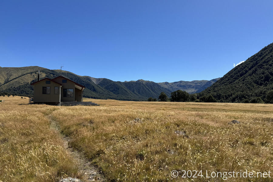
Another day along river valleys, meadows, and forests, partially along the St James walkway, brought me to the road to Hanmer Springs, where I took a day off.
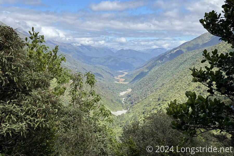
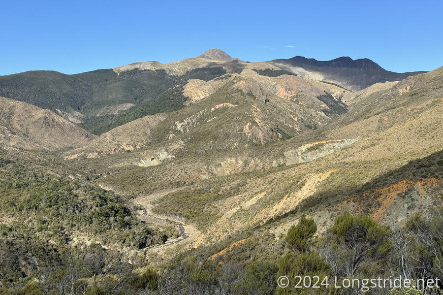
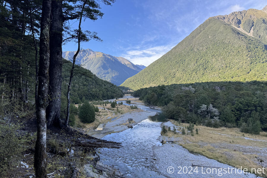
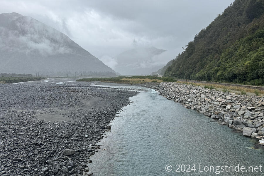
Over the next few days, I followed the Boyle , Hope, Kiwi, and Hurunui river valleys, climbed over Harpers Pass, and followed the Taramakau and Otira Rivers to the Morrison Footbridge. There were many river crossings, and in particular, the trail along the lower Taramakau was largely indistinct and followed the rocky riverbed. The last stretch on the Otira, I followed the river itself, crossing the river’s braids many times, rather than following the steep and rugged flood trail on the hillside above. Approaching rain made the last day somewhat harried, combining the need for moving quickly to beat the rain with the need to not sprain my ankles on the loose rocky ground.
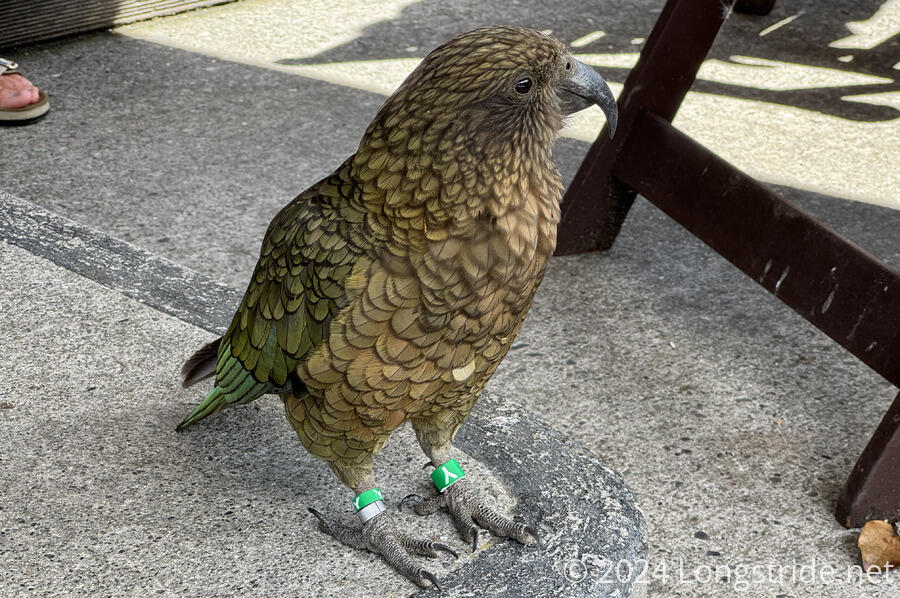
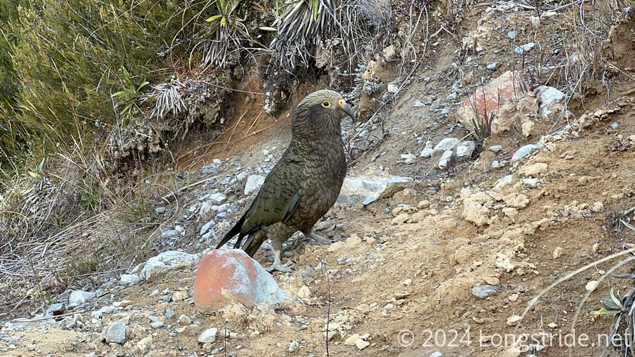
From the footbridge, I hitched into Arthurs Pass. After a rainstorm, I took a day off to let the river levels subside before continuing. The town had some resident Keas, which made a nuisance of themselves outside the cafe.
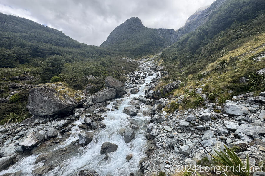
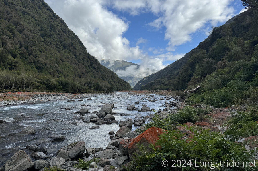
The day off was essential: while it would have been a beautiful day to hike, from the Morrison Footbridge, the trail heads up the Deception River, named because the river has a substantial sub-surface flow in its lower valley, flowing under a loose shingle of rocks. Heading upstream, the river level can rise significantly as the shingle gradually is replaced with solid rock.
This makes the Deception River very challenging, because for a good distance, the trail is the river. You can’t hike this part of the trail without getting your feet wet.
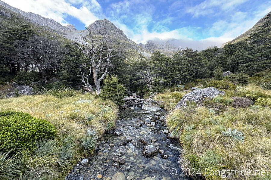
Passing the river’s source, the trail crosses Goat Pass, and after following a boardwalk over a waterlogged alpine meadow, drops into the Mingha River valley.
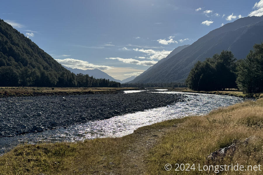
Further down, the Mingha (and the trail) joins the Bealey River, which then joins the Waimakariri River. On the other side of the river, a brief roadwalk passes farmland and dives back into the wilderness, alongside the Harper River.
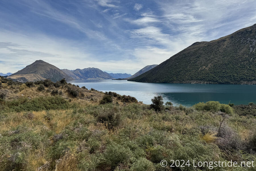
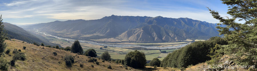
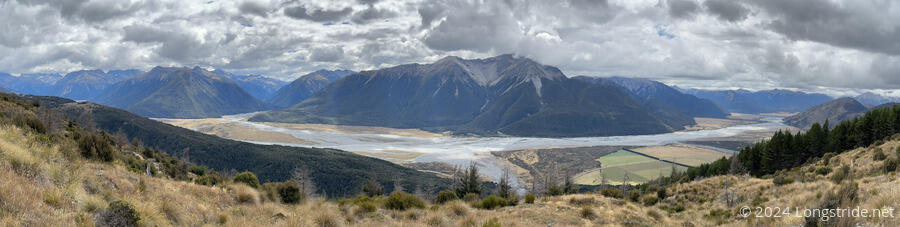
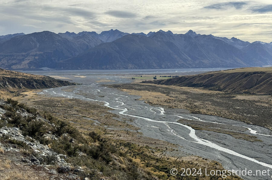
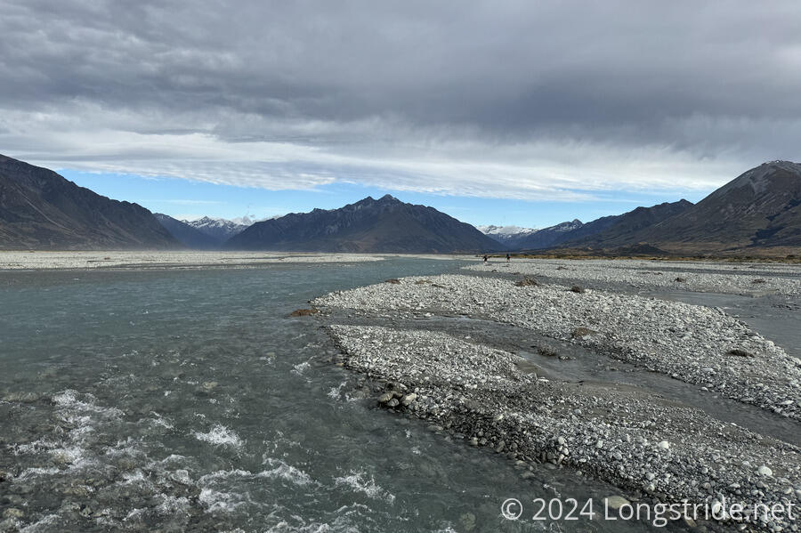
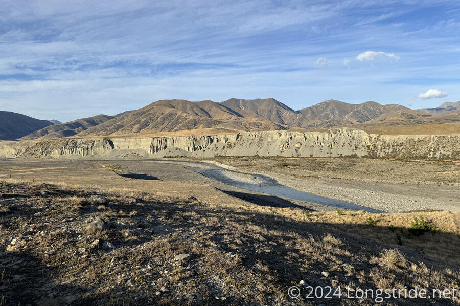
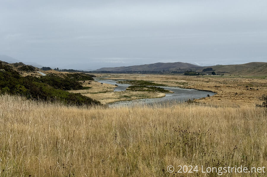
Much of the next day was a very dusty road walk to Lake Coleridge, and the first major disruption of the TA’s route on the South Island, the Rākaia River.
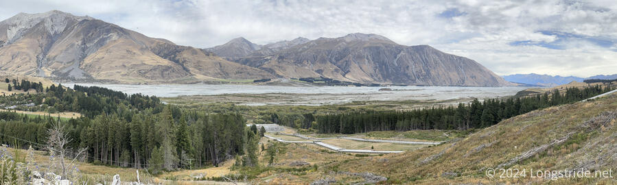
A massive braided river that is difficult to cross even in pristine weather, the Rākaia can quickly and without warning become extremely hazardous to cross, and the official guidance is to take a shuttle (or roadwalk) around. Which I did, with a multi-day stopover in Methven to wait out some bad weather.
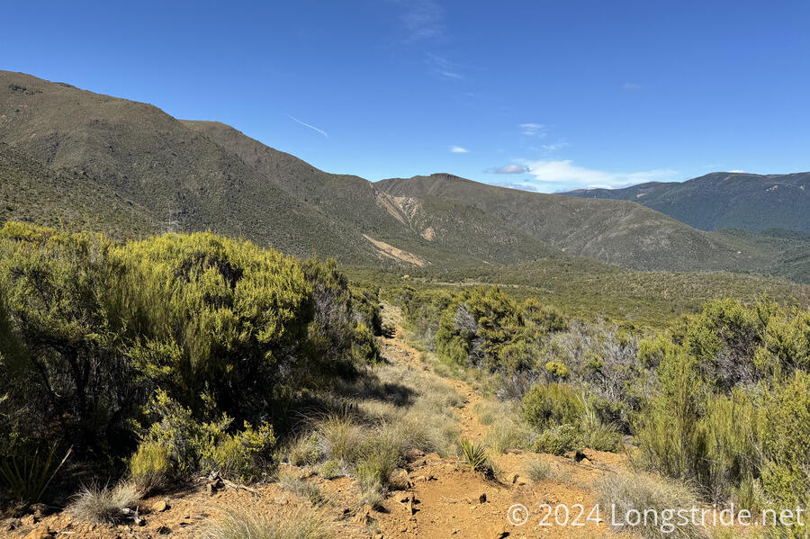
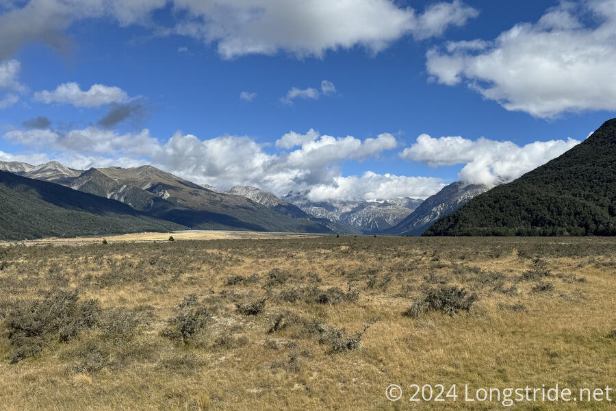
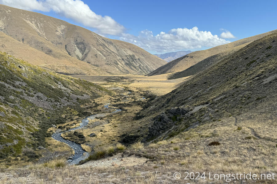
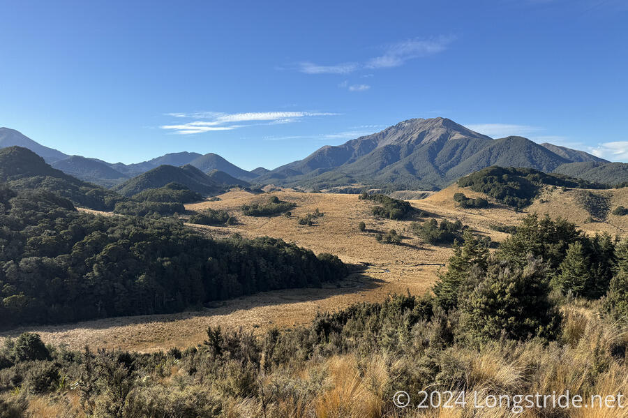
Back on the south side of the Rākaia, the trail climbed through farmland and followed and old road and switchbacks up to an alpine meadow. Following more river valleys, the trail turned into North Branch Ashburton River and with many dozens of crossings, gradually made its way past the water and through rocks and tall grasses, finally crossed over a saddle.
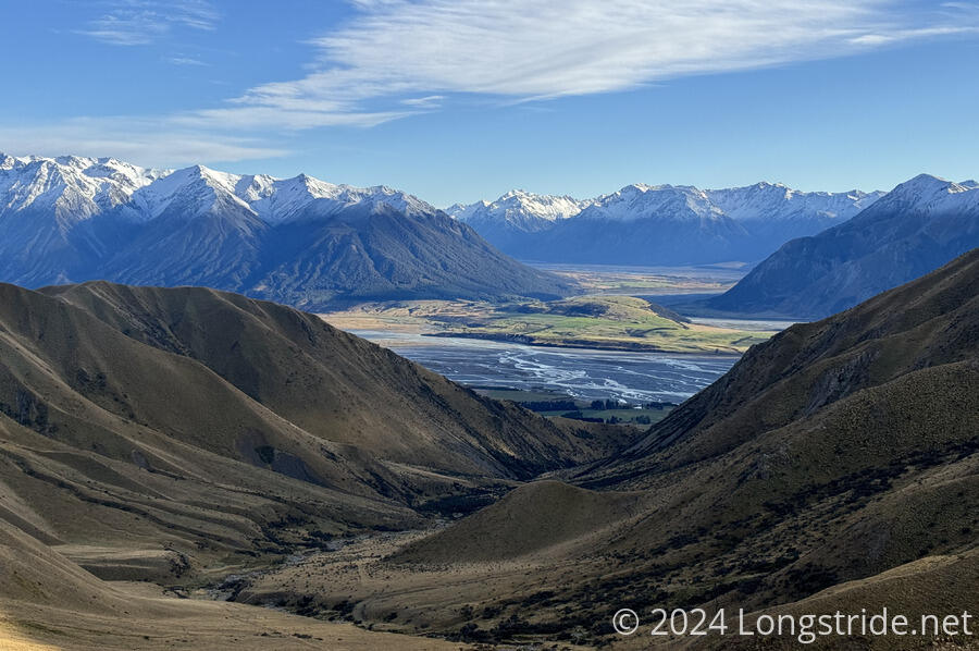
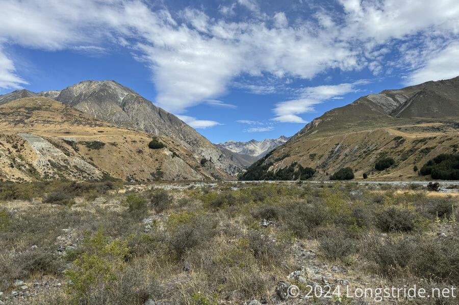
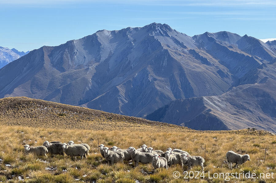
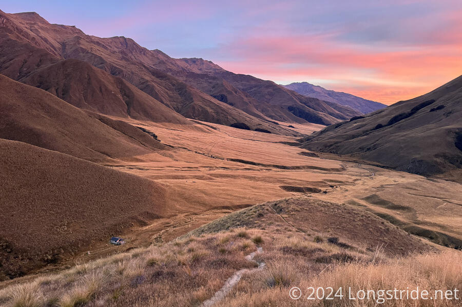
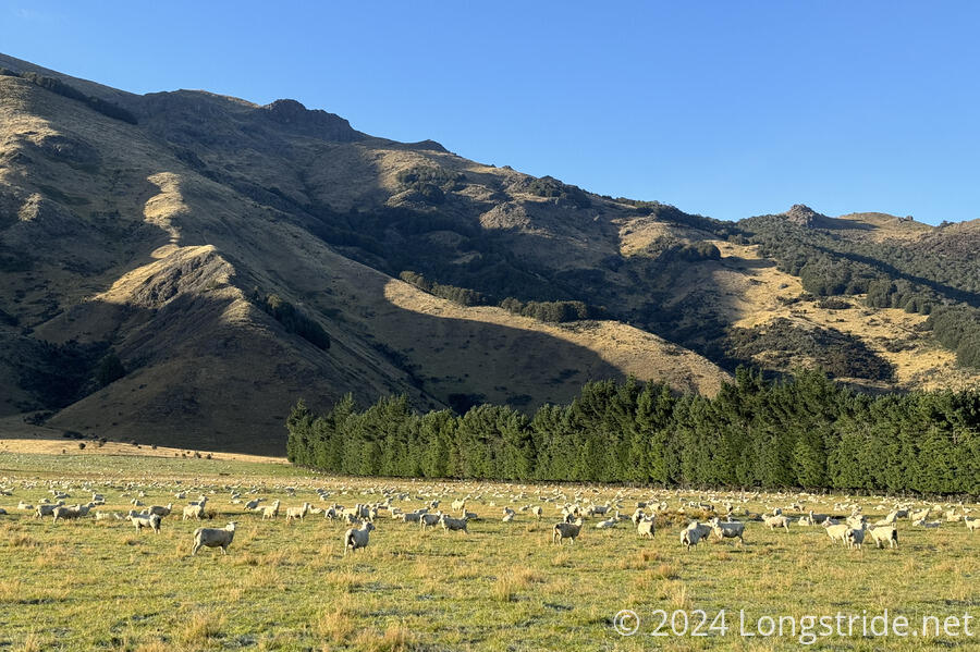
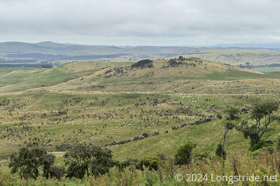
On the south side of the saddle, after crossing the Swin River, the trail made its way through a huge and generally flat expanse of dirt roads and tussock, perfect for a sheep station. This eventually brought me to the crossing of the Potts River, and the beginning of the TA’s second hazard area, the Rangitata River.
A chance hitch to the Mt. Potts Lodge, a good weather report, some advice from its proprietor including a report that a group had successfully made it across the day before when water levels were higher, and catching up with the other hikers from my shuttle to the trail from Methven who were intent on fording the Rangitata convinced me to go along with them, turning what would have been a very long and expensive shuttle to the other side of the river into a ninety-minute crossing of the Rangitata, plus another 45 minute walk down a gravel road to rejoin the TA at the entrance to Bush Stream and the Te Kahui Kaupeka Conservation Park.
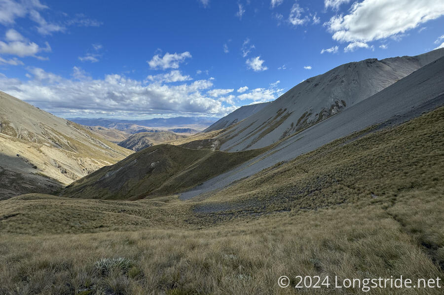
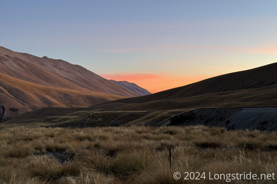
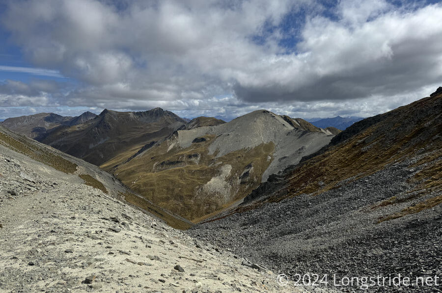
Bush Stream was another long hike uphill through a riverbed, which graduated to a steep climb into alpine meadows, home to a flock of wild kea. More traverse of alpine scrublands, river valleys, and fords, culminating in reaching Stag Saddle, the high point of Te Araroa.

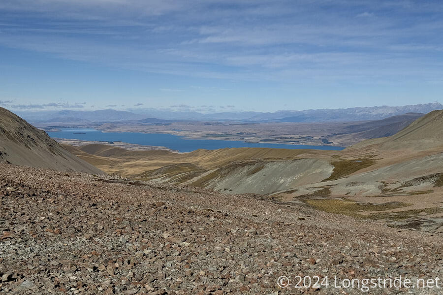
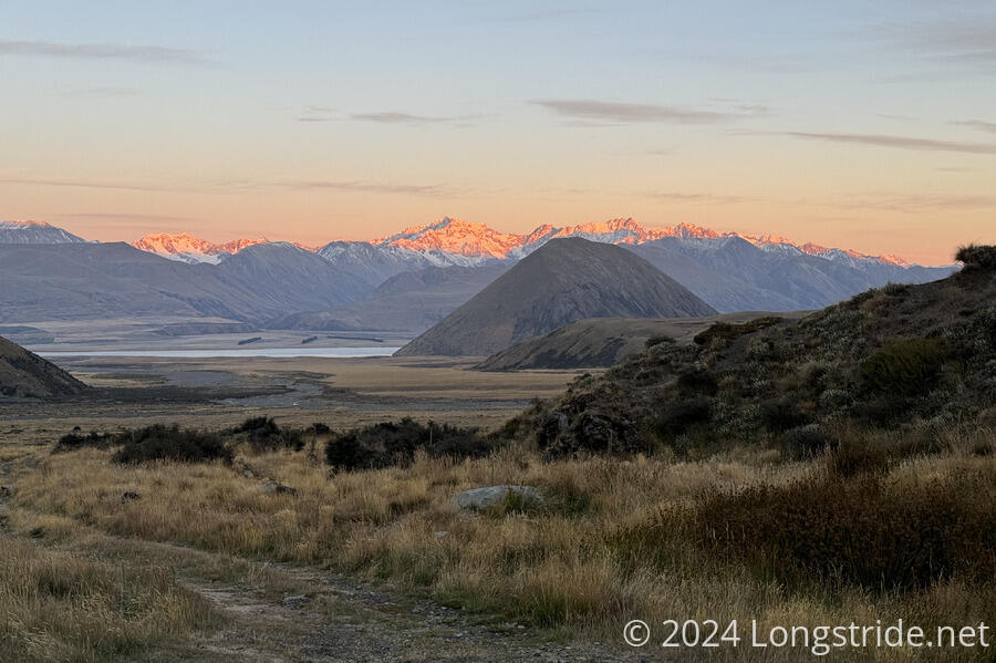
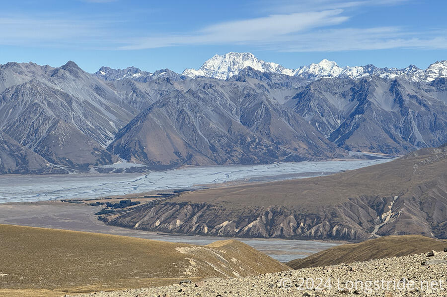
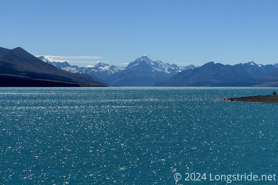
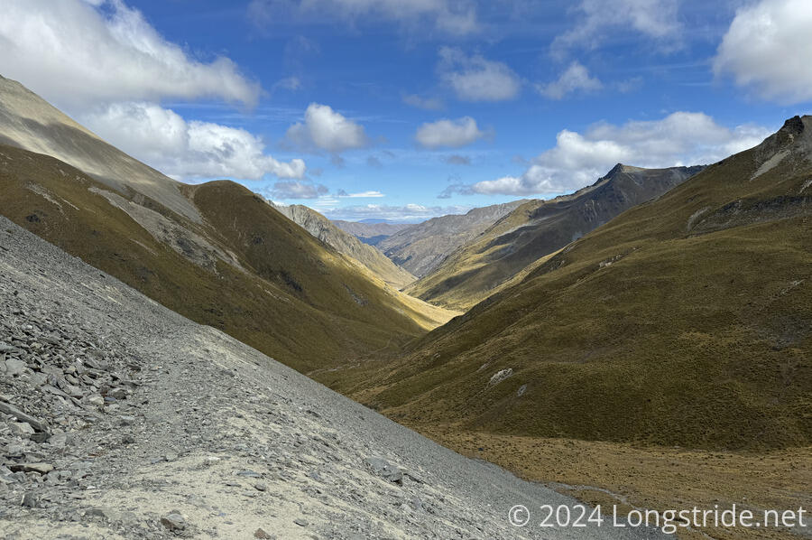
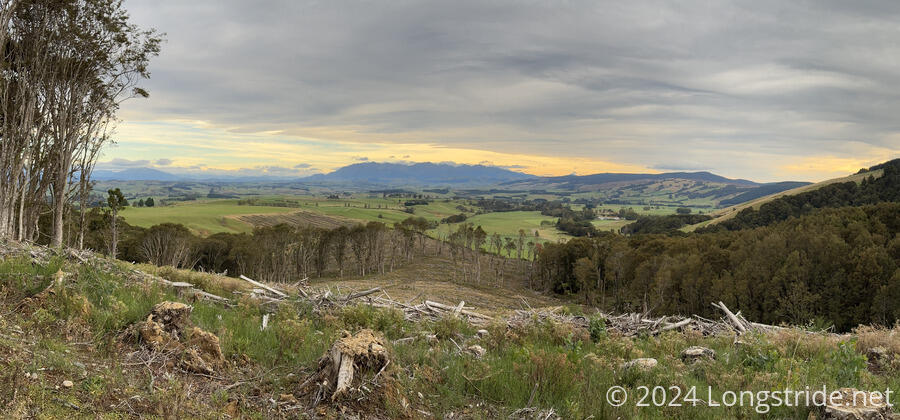
From Stag Saddle, the trail followed a lengthy ridgeline, with Aoraki / Mount Cook, New Zealand’s tallest mountain rising in the distance, and Lake Tekapo glistening as a bright blue gem in a sea of brown grasses nearly as far as the eye could see.
A long day in the foothills surrounding Lake Tekapo, and along a busy, dusty dirt road brought me to the town of Lake Tekapo.
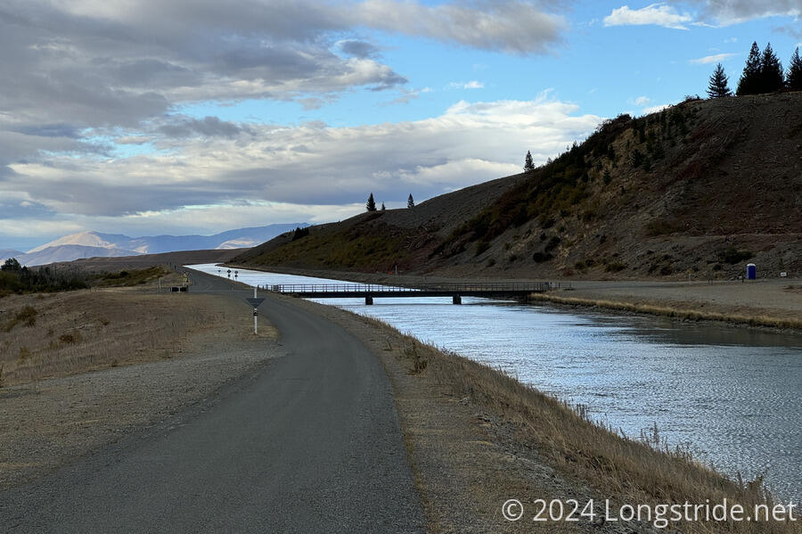
From there, I rented a bike, and the next day, joined the Alps 2 Ocean Cycle Trail, which partially overlaps with the TA, and rocketed 54 km in just six hours to Twizel. This was one of the most scenic days on the trail. After following the Tekapo Canal for a while, the trail passed the even more brilliantly turquoise Lake Pukaki, with Aoraki in the background. Initially uncertain about cycling for a second day, I decided to push on, and made the 37 km trek to Lake Ōhau Lodge in just three hours. That took me past the also picturesque Lake Ōhau, though clouds that blew in made the lake not as stunning as Lakes Tekapo and Pukaki had been.
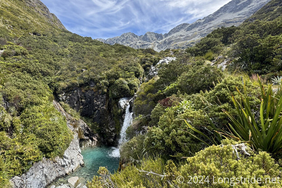
From Lake Ōhau, the TA continued to follow Alps 2 Ocean for a little while, before veering off to climb alongside the well-forested Freehold Creek, which had quite a few cascades, especially once the trail again went above the tree line. This also took the trail into something of a boggy area as the trail crested out of Freehold Creek’s valley and began descending into the East Ahuriri River’s valley.
After running alongside a pine plantation and a farm pockmarked with rabbit burrows, the trail crossed the Ahuriri River. A potentially strenuous river crossing, the water was low enough (and I had the advantage from a few people who crossed shortly before I did) to find an easy way across, though this also meant crossing somewhat downstream of the “intended” crossing, which put me off-trail, making the climb up the cliff beyond the river quite challenging.
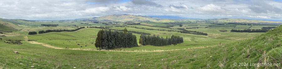
Dirt roads between farms brought me to the Avon Burn, a smaller river that was quite nice to walk along. A long track amid farms led to an old dirt road and the Mount Martha Track, originally developed to move sheep between valleys. Crossing Martha Saddle led to the Timaru River valley.
High in the valley, the trail was quite nice, if occasionally damp. Deeper in the valley, past the Top Timaru Hut, the trail was a steep and tiring roller coaster above the river (or alternatively, through the river, which was no less tiring, but more straightforward, albeit, wet).
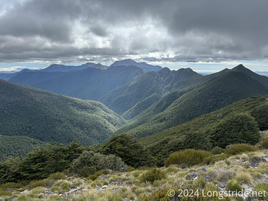
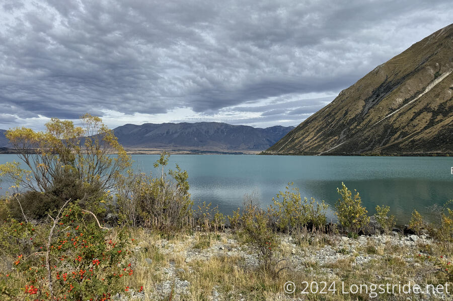
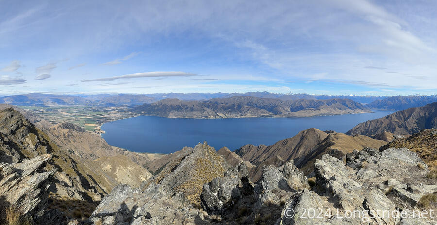
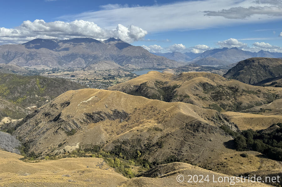
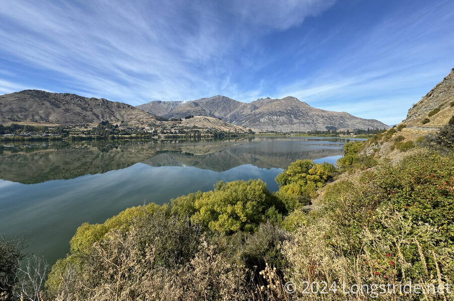
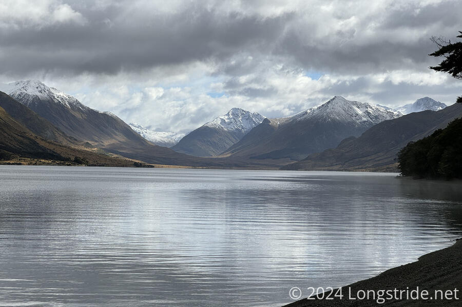
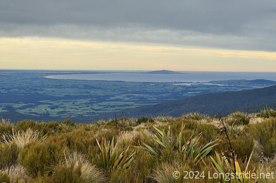
A steep climb up from the river and past the rustic Stodys Hut took the trail through a high-elevation sheep station to Breast Hill, with an amazing view to Lake Hāwea, Wānaka, and the Mount Aspiring National Park.
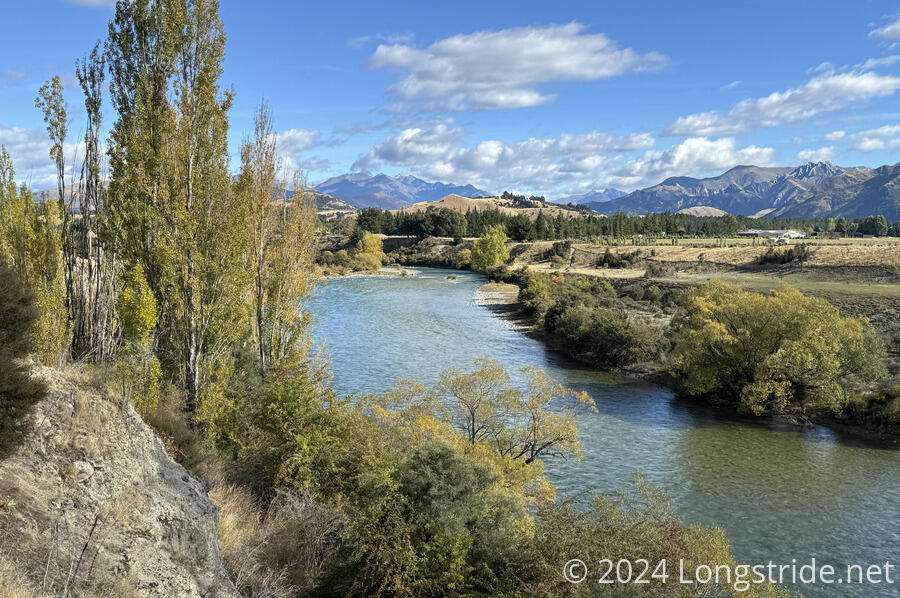
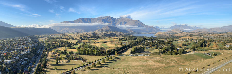
After an incredibly steep descent down the ridge, the trail follows the shore of Lake Hāwea to the town of the same name, and then along the Hawea River Track and the Clutha River to Wānaka. This easy section has a lot of diversity: a forested walk along the Hawea and Clutha Rivers; open grazing farmland; public campgrounds; lakes; and two towns.

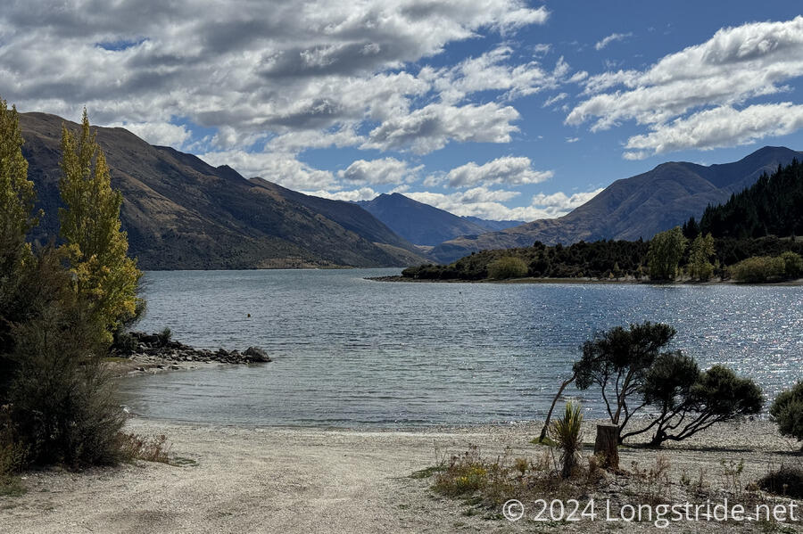
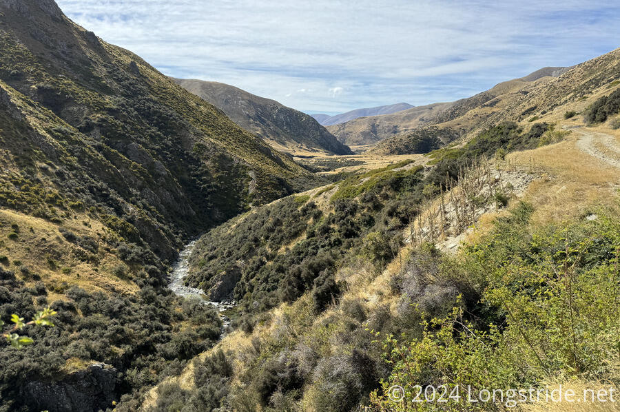
From Wānaka, the Glendhu Bay Track led along the lake, quite scenic with its islands and peninsulas, to the bay of the same name. From the bay, a dirt and gravel road between two farms led to the Motatapu Track, which followed the Fern Burn deep into the mountains. With significant elevation gain and loss, the Motatapu Track is a quite challenging section, but with that challenge comes incredible scenery. I only wished that I could have been there a little earlier in the season, when the grasses would have been greener.
The Mototapu Track ended with a trek up and down Roses Saddle to follow the Arrow River to Macetown, the historical ruins of an abandoned gold mining settlement. From there, the trail continued down the Arrow River, partially on a 4WD track. Diverging onto the Big Hill Walkway, it began another long, steep climb up and over Big Hill Saddle.
An initially steep descent gave way to nice dirt tracks and walkways, some forested, as the trail made its way to and through Arrowtown.
On the south side of town, I took a short detour to climb up and over Feehly Hill, which gave a beautiful morning lookout over the whole area.
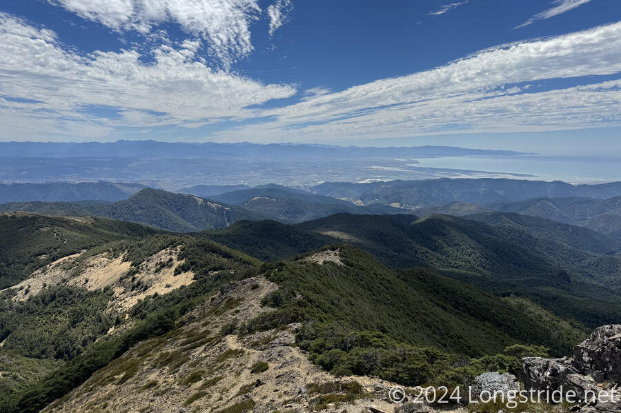
After traversing the suburban communities south of Arrowtown, the trail passed alongside Lake Hayes, more communities, and crossed the Shotover River on a pedestrian bridge. Now on the outskirts of Queenstown, the trail followed more concrete sidewalks than it had in a long time, until it joining a cycle track on Lake Wakatipu that went most of the west of the way along the lake to the center of town.
After a two-day stay in Queenstown (partially to wait out some rain), I took a shuttle around the third and final hazard zone of the South Island, around Lake Wakatipu, to the Greenstone Station Trailhead.
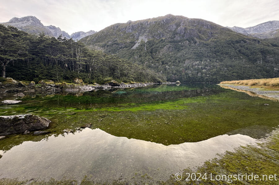
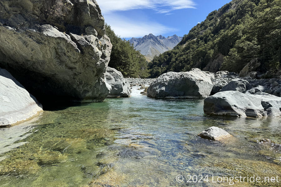
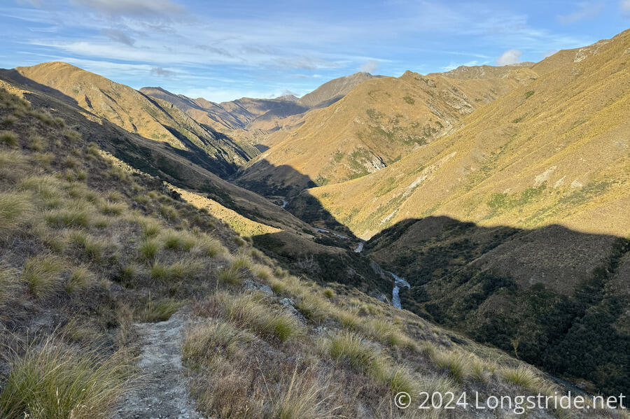
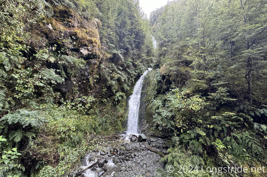
From there, the Greenstone Track followed the Caples River upstream, on an exceptional wide dirt-and-leaves trail through a forest dotted with waterfalls. After crossing the Caples on a bridge, the trail followed the Greenstone River up its valley to the Greenstone Hut. The trail to the continued to be generally nice, though not as much as it was lower on the river, and recent rains meant for some swollen streams and wet feet.
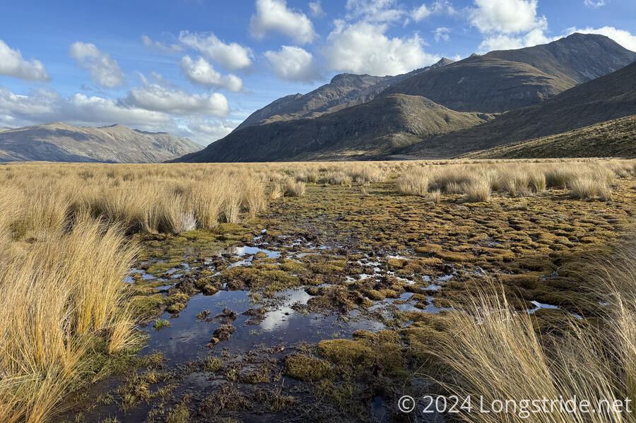
Beyond Greenstone Hut, the trail became the Mavora Walkway, and climbed up to a plateau. Although initially in a forest (with lots of small overflowing creeks), the forest receded, taking the trail through a bog mixed with knee-high tussock that was fairly unpleasant to walk through.
Escaping the tussock, the trail crossed the Mararoa River on a footbridge, and continued upstream along its wide valley. Overnight rain made the ground soggy and numerous creeks raging torrents, but aside from a few problem spots, it wasn’t too difficult. Just wet. Crossing the river again, the trail joined an ATV trail, which aside from a few flooded potholes and stream crossings, was a breeze to hike.
The Mararoa River temporarily became a large lake, and the ATV track took me through the Mavora Lakes Campsite (which would have been a nice place to stay, absent the rain overnight).

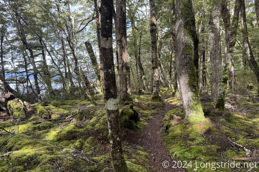
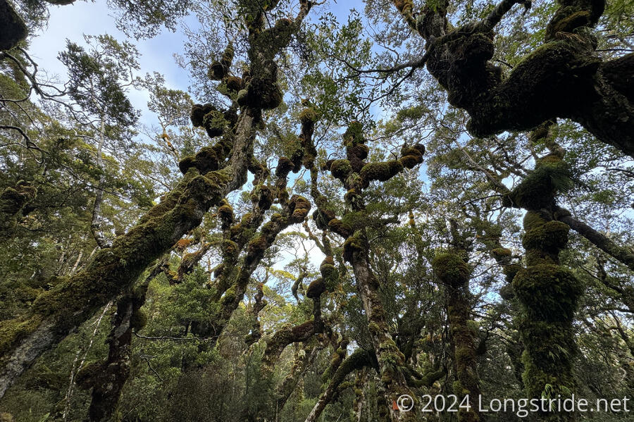
Past the campground, the trail became a trail again, zipping through a nice, mossy forest. For the most part, this stretch of the Mavora Walkway was excellent, though a short stretch went through a mess of fallen trees, and the trail was occasionally hard to follow.
At yet another crossing of the Mararoa River, over a swingbridge, I opted to leave the trail and begin a long roadwalk. The defined trail ahead reportedly crossed onto a farm, with a very rough and overgrown track, and also a fording of the Mararoa River, which after a few days of rain, seemed very much not worth the risk.
For quite awhile, I followed low-traffic gravel roads between sheep and cow pastures, eventually rejoining the TA, which continued on the road walk. The trail briefly followed a highway, and then turned off down another farm road. At that junction, I took the opportunity to hitch in to Te Anau for resupply.
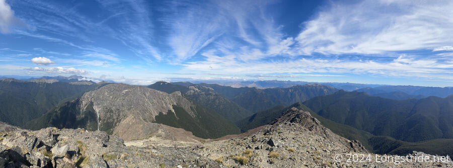
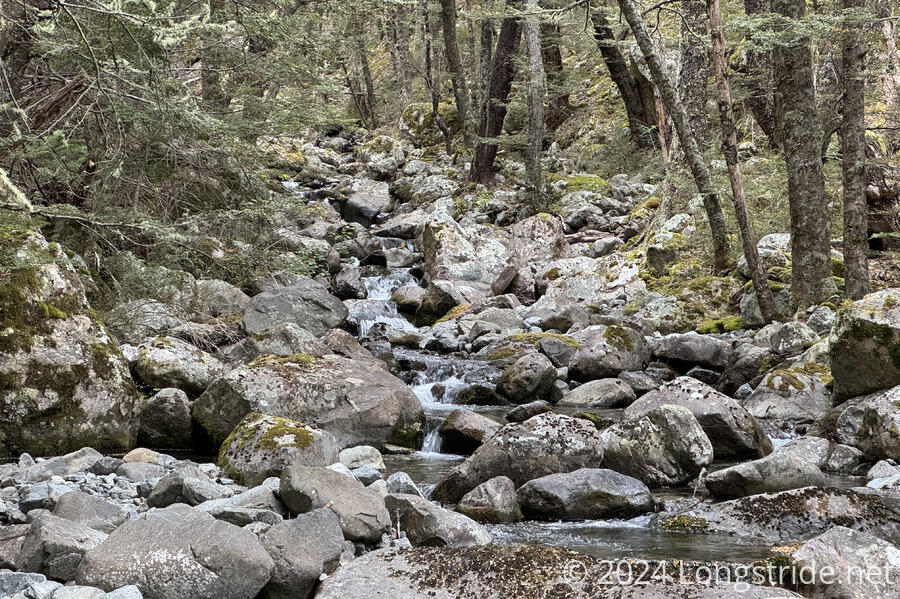
An easy farm road led to a rather steep trail into the Takitimu Forest, dense with trees and little opportunity for a view. After crossing a saddle and descending into a bog, the trail alternated between amazing forested trails that were quick and easy to hike, and slow boggy tussock with hard-to-follow trails and occasional knee-deep mud pits.
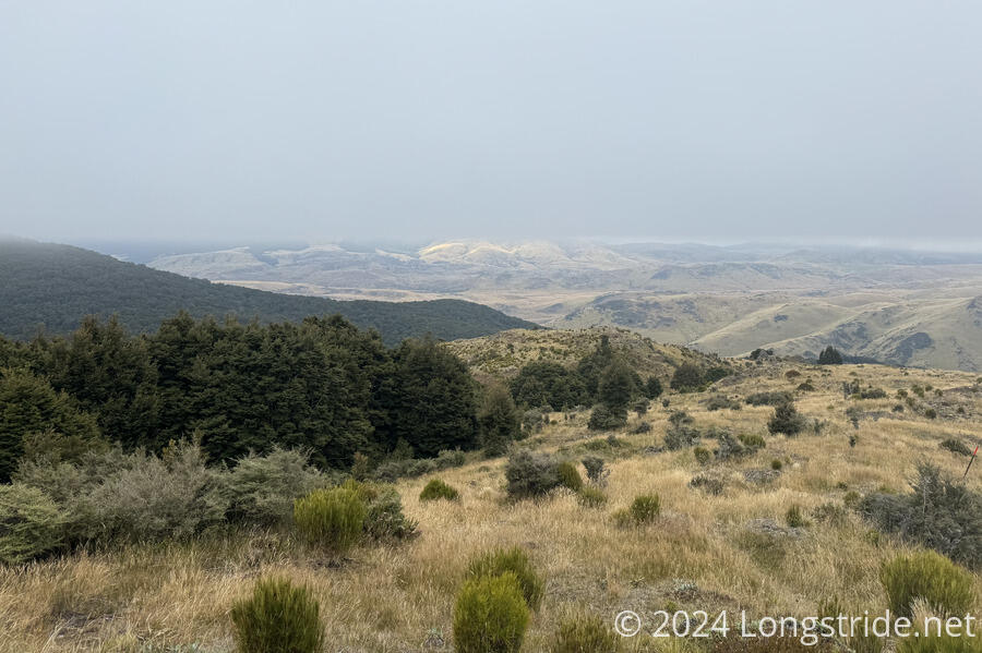
After re-entering the forest, the trail bounced around for a while on trail of varying quality until reaching a nice stretch following the Wairaki River. This was in general a bit of a slow slog because of how wet the trail was. Fording the Wairaki River wasn’t as bad as I’d feared. On the other side, a long, steep trail lead to the Telford Tops and what should have been the first view of the ocean since the Richmonds, though fog eliminated the view.
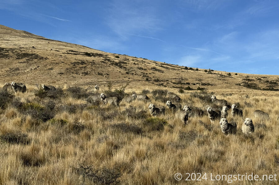
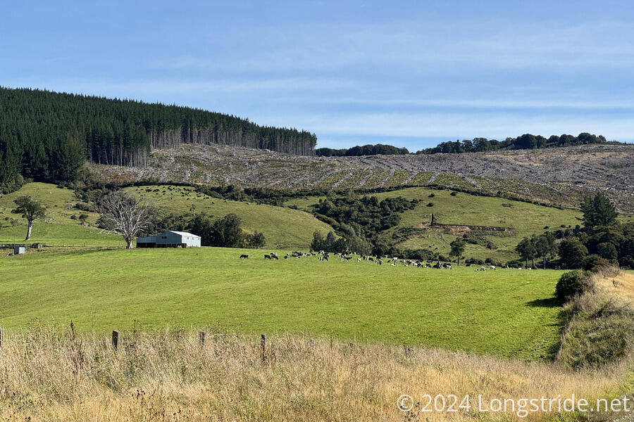
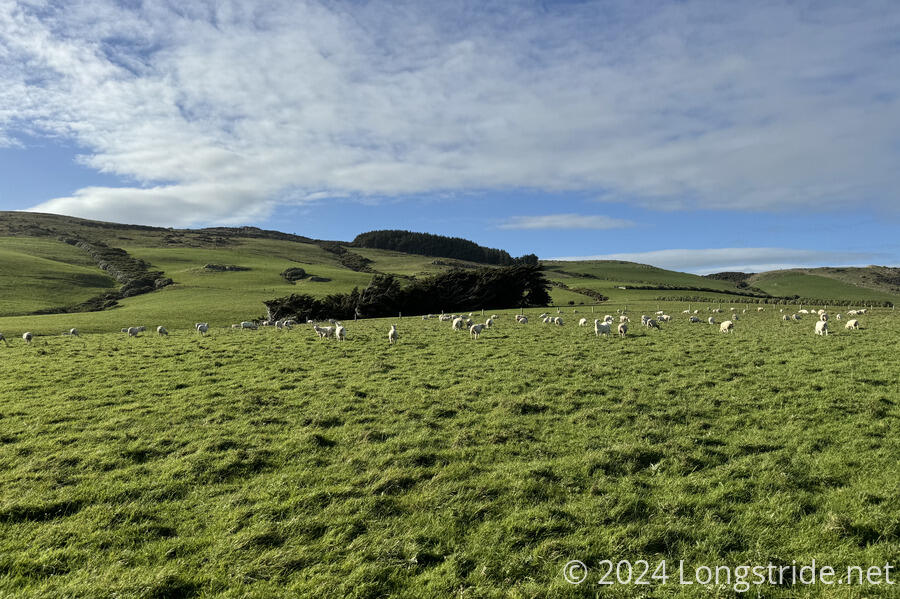
From the Telford Tops, the trail descended into the Mount Linton Station, one of the largest farms in New Zealand. The 28 km trek across the farm had to be done in one day, because camping (and straying off the marked trail) is prohibited. Fortunately, the majority of the walk was on dirt road, which made for relatively quick (though occasionally steep) hiking.

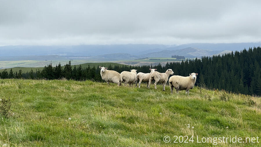
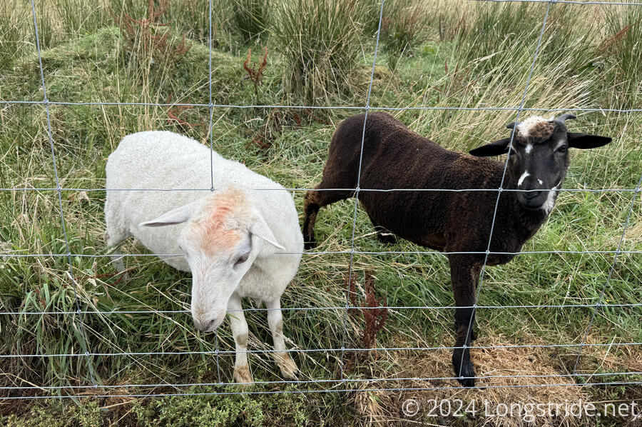
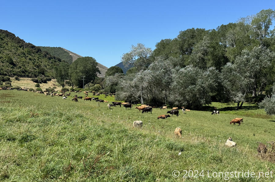
The station had an incredibly large number of sheep and cattle. For the most part, the animals weren’t a problem, though a few places I did have to make small detours from the marked path to stay out of the way of some large cows with calfs.
Towards the end of the day, clouds lifted enough to give me a brilliant preview of the next couple days of trail.
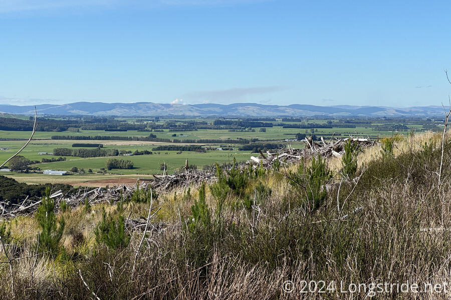
After getting a shuttle to Nightcaps for resupply — my last of the trail — some more gravel roads brought me to the Woodlaw Track, which headed into the Woodlaw Forest. With the trail seemingly following property line boundaries, it made for a steep, tiring walk straight up the side of a hill, as the clouds cleared and bright sun came out. But then, the trail crested Twinlaw Mountain, joining an access road for the radio tower at the summit, and then heading south through the forest.
Turning off the dirt road, the trail joined a very muddy path the rest of the way down the mountain, eventually emerging out of a pine plantation to another gravel road. Another roadwalk took me to Island Bush, another pine plantation already partially harvested. Initially on a forestry road, the trail eventually dissipated into a faint, hard-to-follow trail.
After escaping from the forest, dirt roads through a farm and a brief walk along a highway brought me to the Merriview Hut, a nominal-fee trail shelter provided by a property owner.
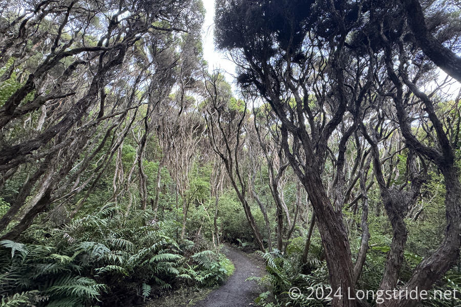
More gravel roads between farms took me to and into the Longwood Forest, the last forest on the trail, renown for its wet, mud pit-filled trail.
This was a very slow section of the trail, and despite my best efforts, I didn’t avoid getting wet feet.
While the Longwoods should be a two-day hike, a cold and less-than-stellar weather stretched it out to three days for me. It was rough and exhausting, but also undeniably beautiful.
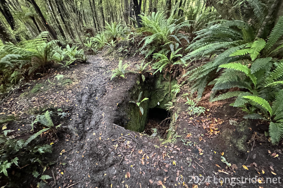
Especially towards the end of the forest, the trail was lined with the remains of various mine shafts, water races, and [other signs of the forest’s prior uses.
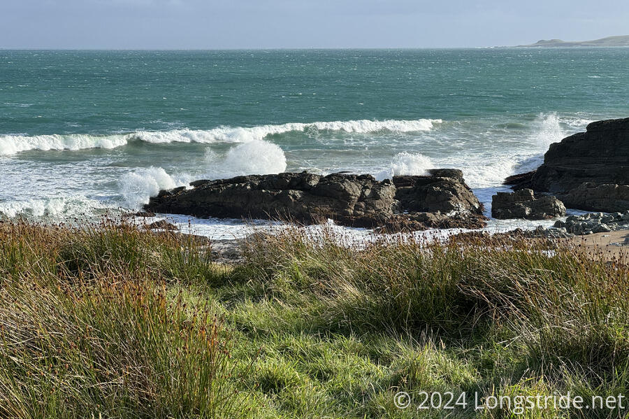
Eventually out of the forest, a road walk took me to Colac Bay, and a walk along its Tihaka Beach. Leaving the beach, the trail again sped through farmland, with a rough ocean backdrop. Climbing over a forest and through the Mores Scenic Reserve, the trail dropped into Riverton.
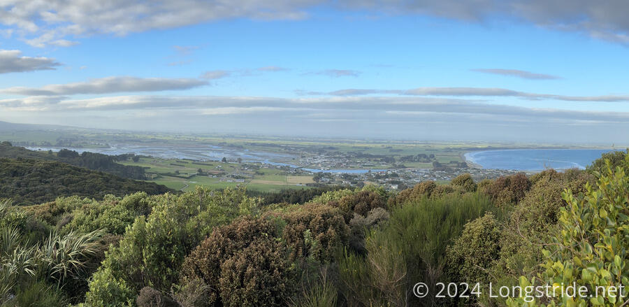
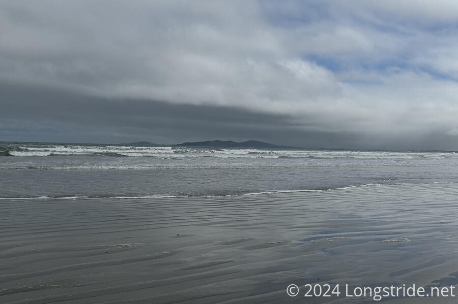
From Riverton, the trail spent much of the day along Oreti Beach, which was great to walk on, though dark clouds often made the trek feel ominous, especially with the fording of two tidal streams. Eventually, though, the trail turned off the beach onto road, and made its way to Invercargil.
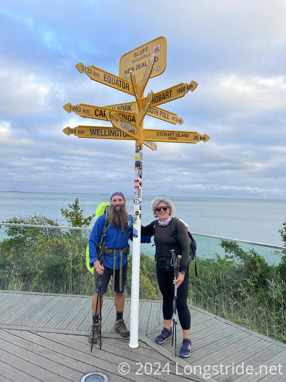
In Invercargil, my partner, CareFree, joined me for one last day of hiking.
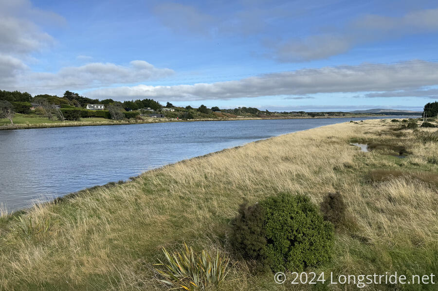
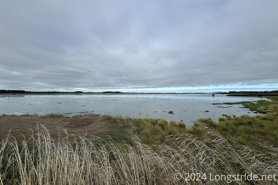
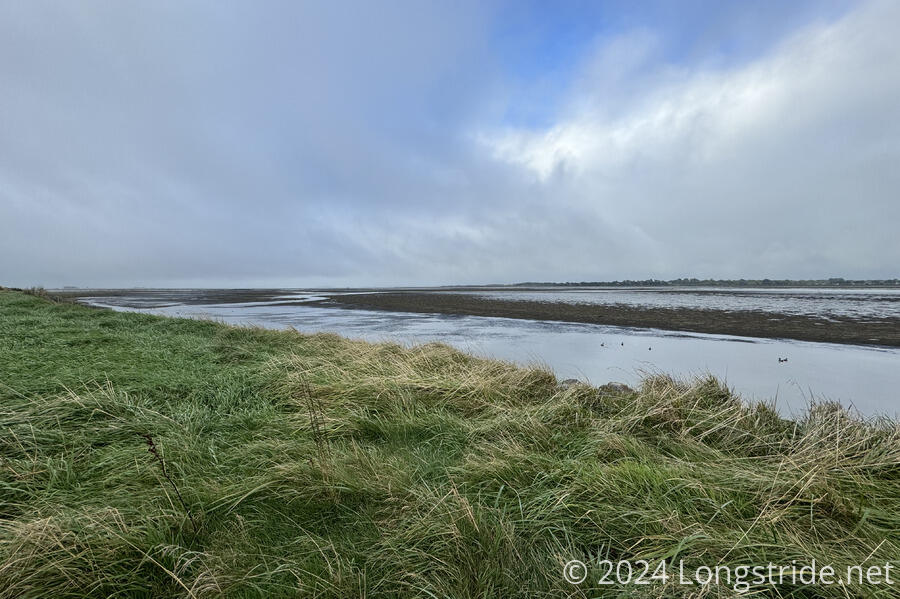
From Invercargil, the trail followed a recently opened stretch of trail along the Waihōpai River and Estuary. That shaved ten kilometers off the roadwalk along SH-1, which (due to trail closure) we’d been on to start Te Araroa 150 days earlier.
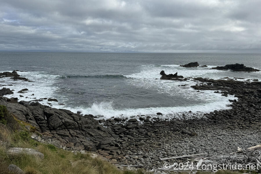
Diverting from the highway, the trail went through one last sheep and cow farm, eventaully following cliffs above the ocean. This stretch of trail seemed to want to throw everything at us: rough and uneven trail, divots from cow footprints, mud, water, a large bull on the trail, wind; you name it, it was there. But, entering the Bluff Hill Scenic Reserve, the trail reached its southernmost point and turned north, climbing to a viewpoint on Bluff Hill.
Almost racing the sun, the last downhill of the trail brought me to Stirling Point, the southern terminus of Te Araroa, and the conclusion of five months of hiking across New Zealand.
Although not the longest, Te Araroa was easily one of the most arduous hikes I’ve done. For more thoughts on the trail as a whole, I’ve also written some closing thoughts on the trail.